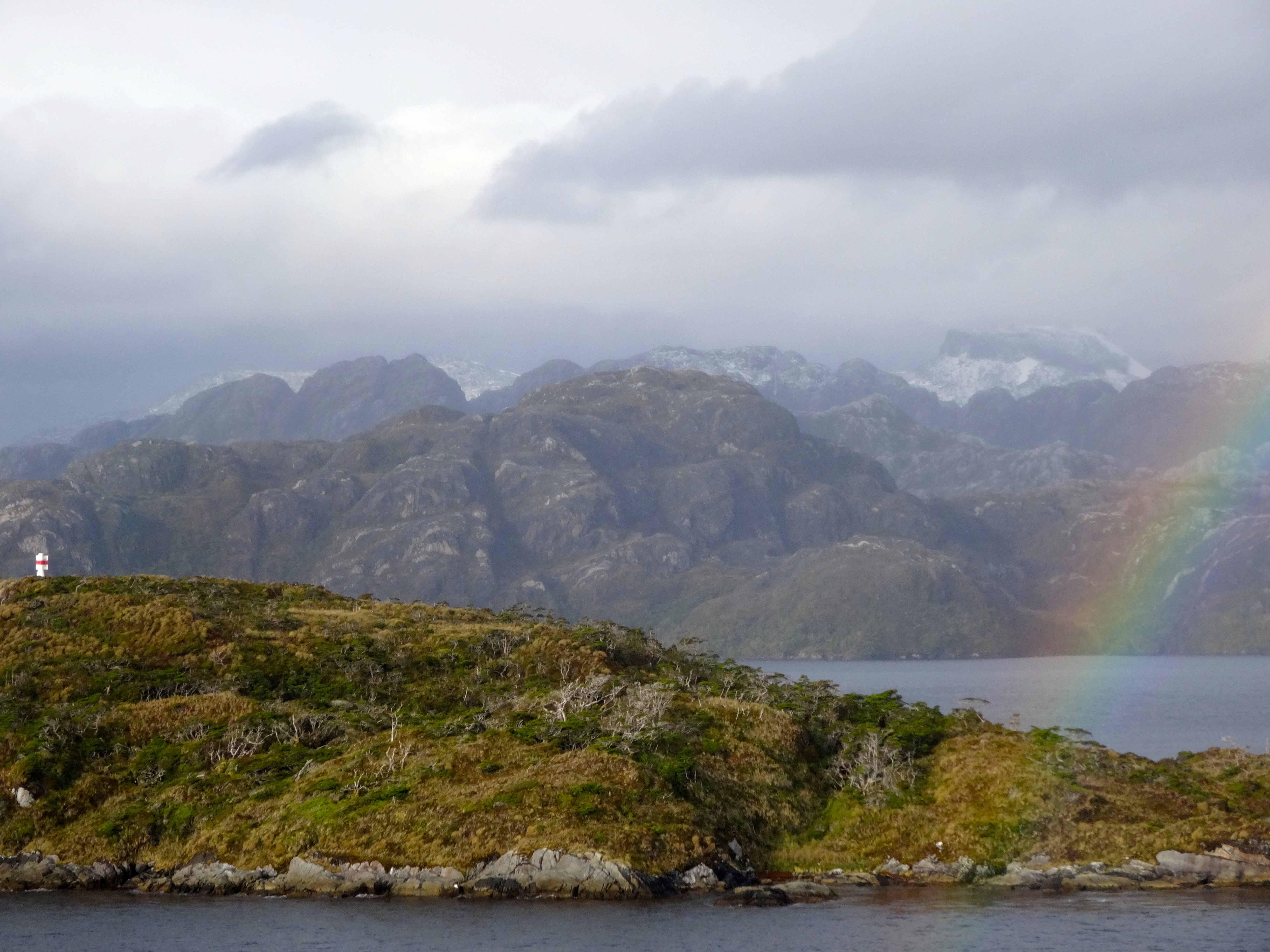
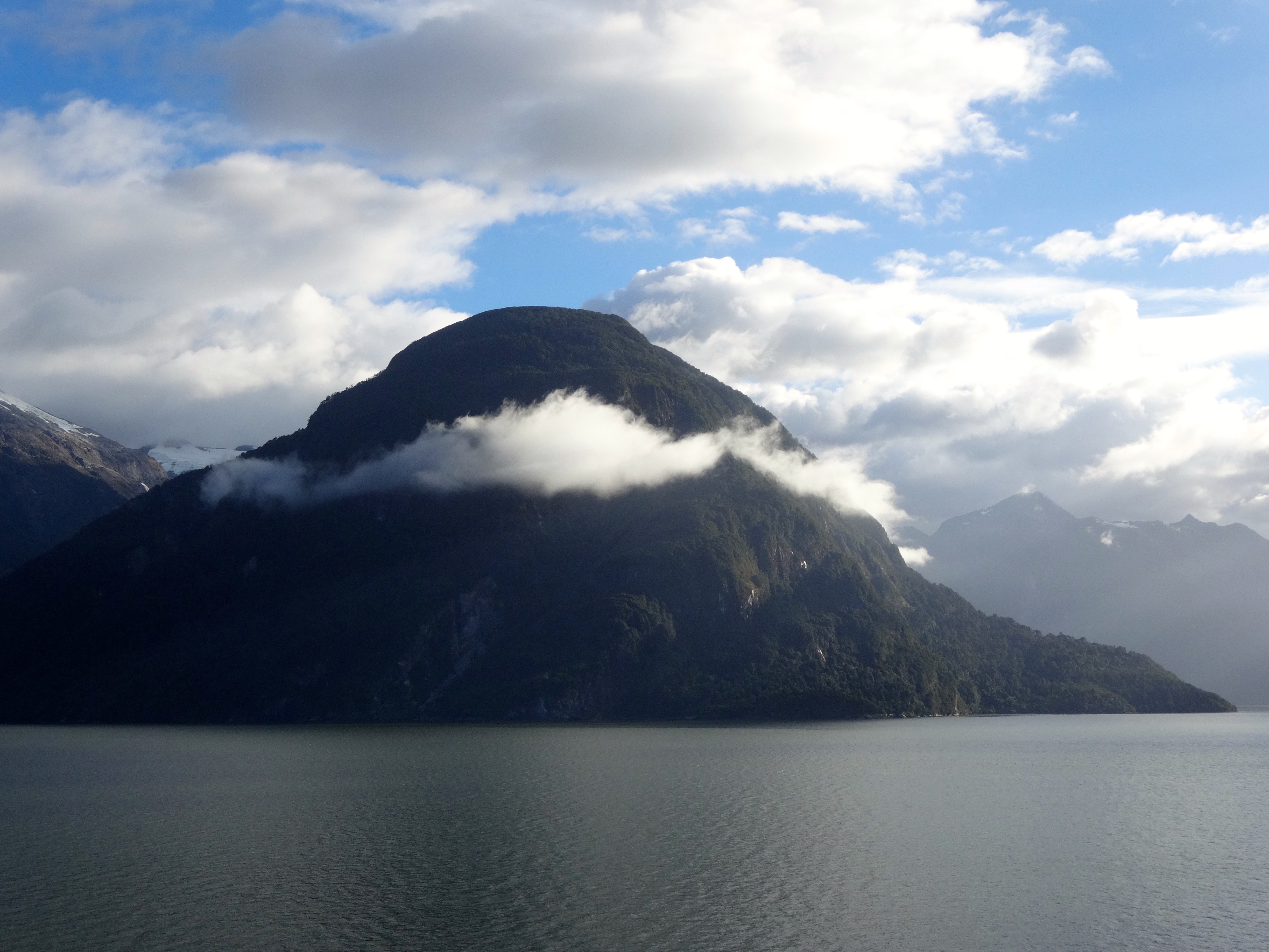
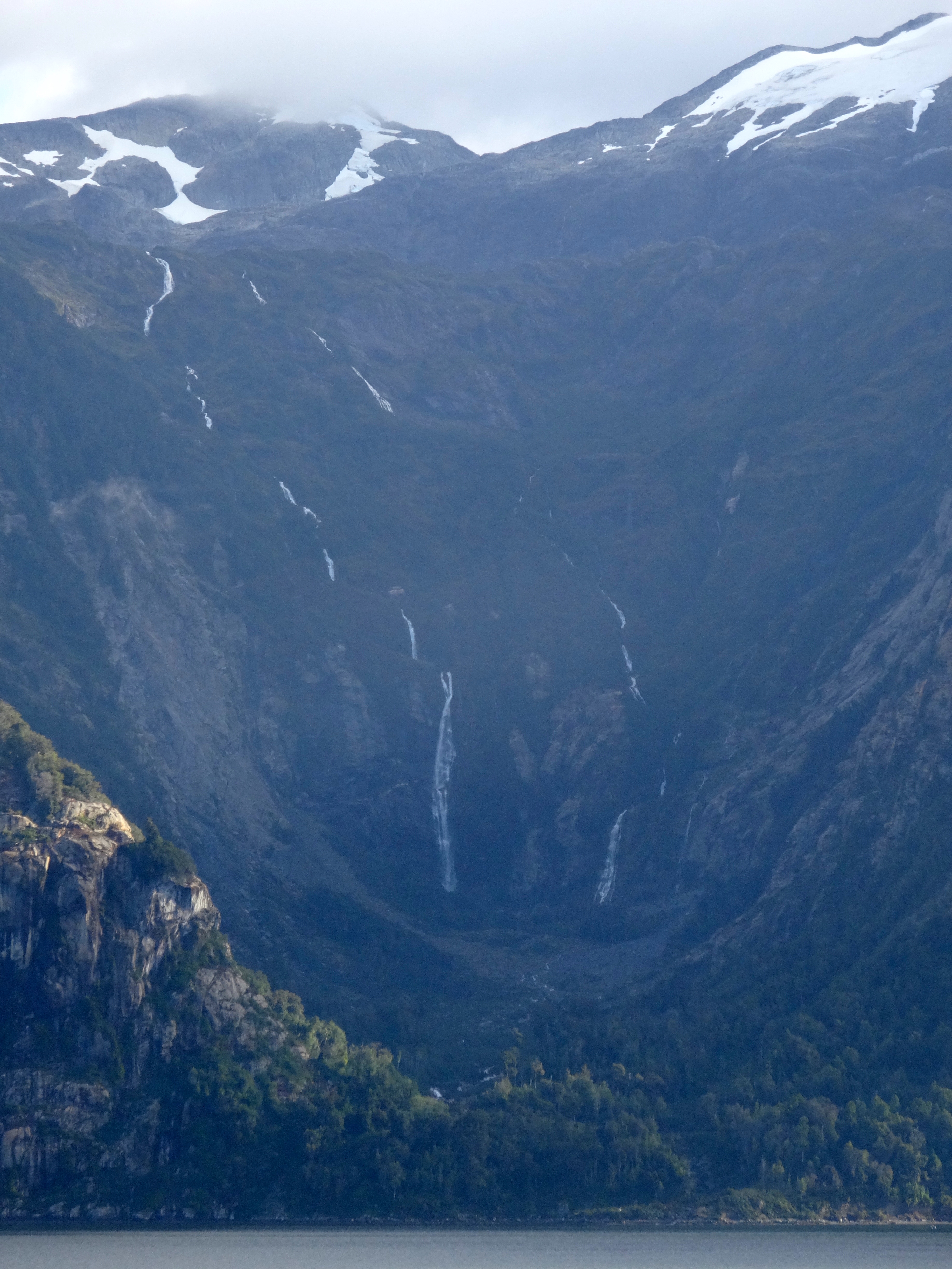
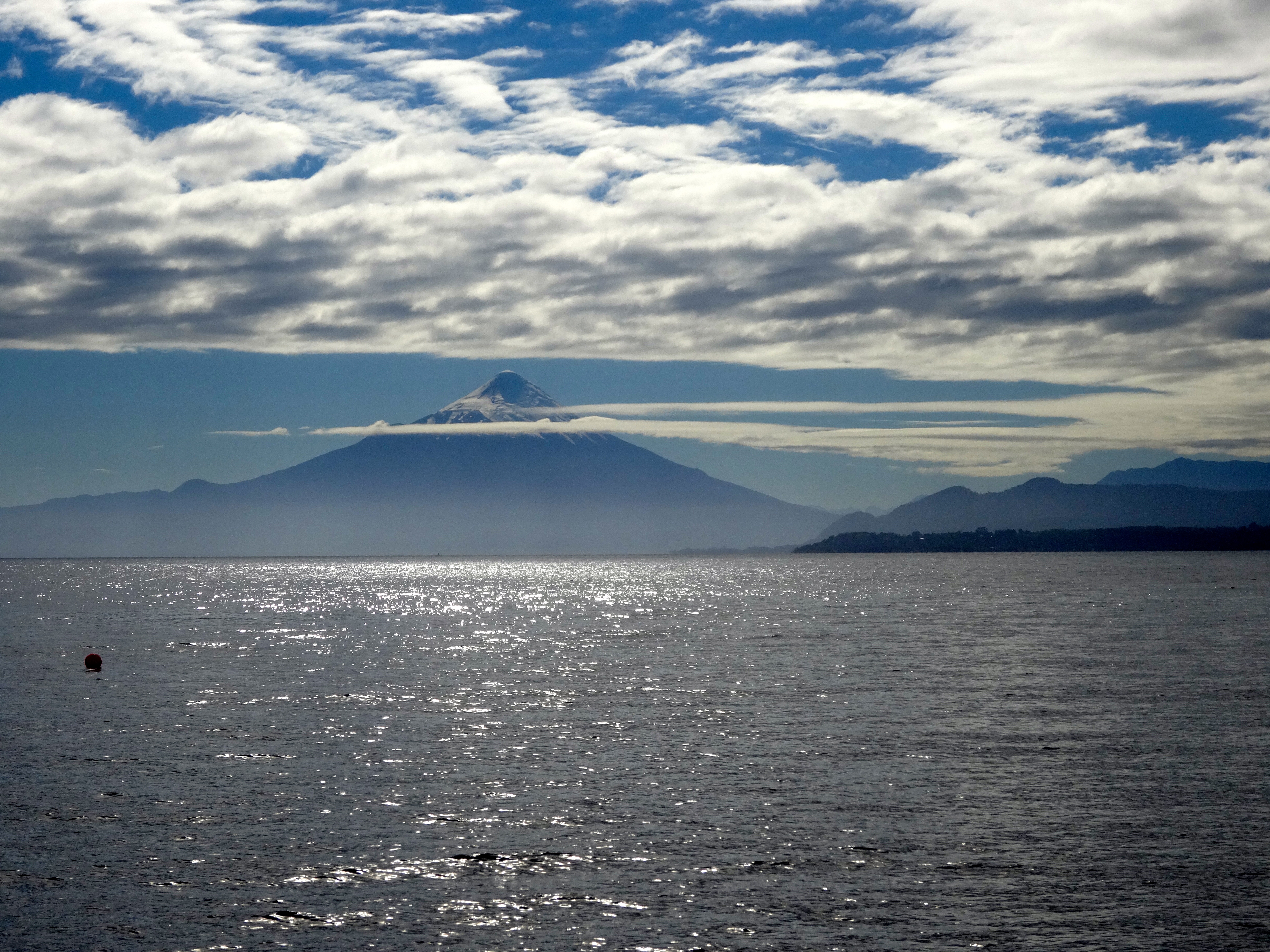
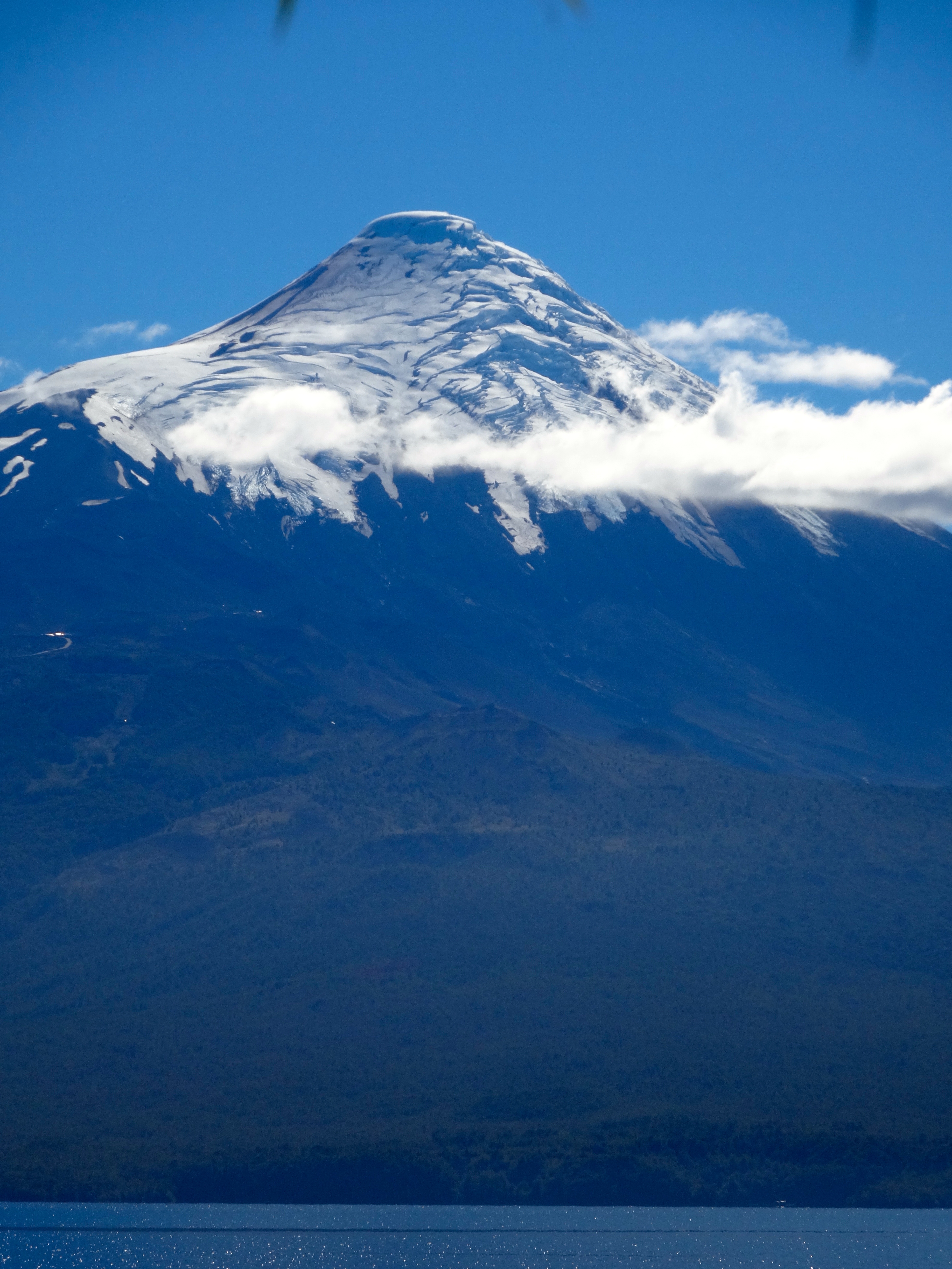
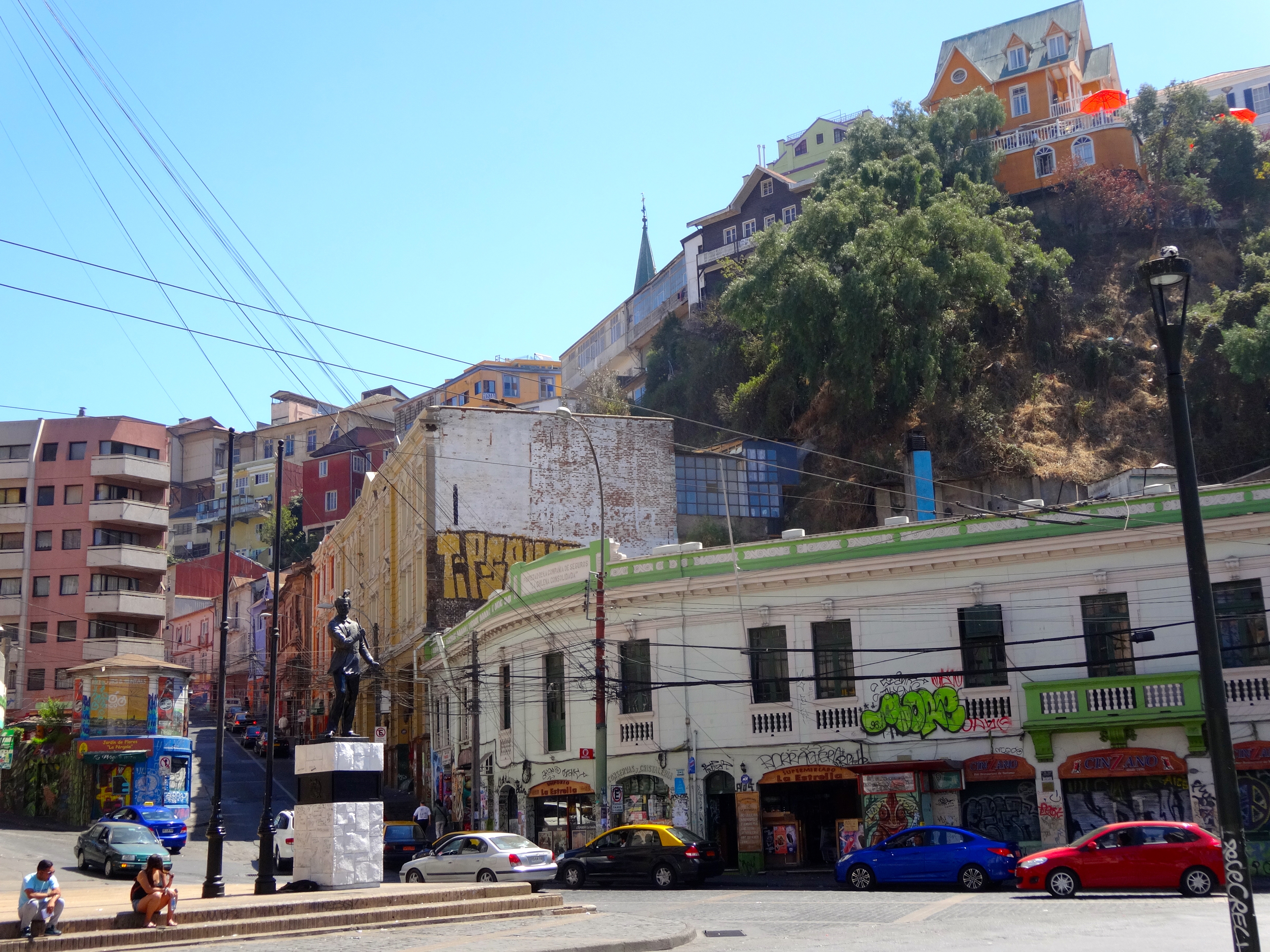
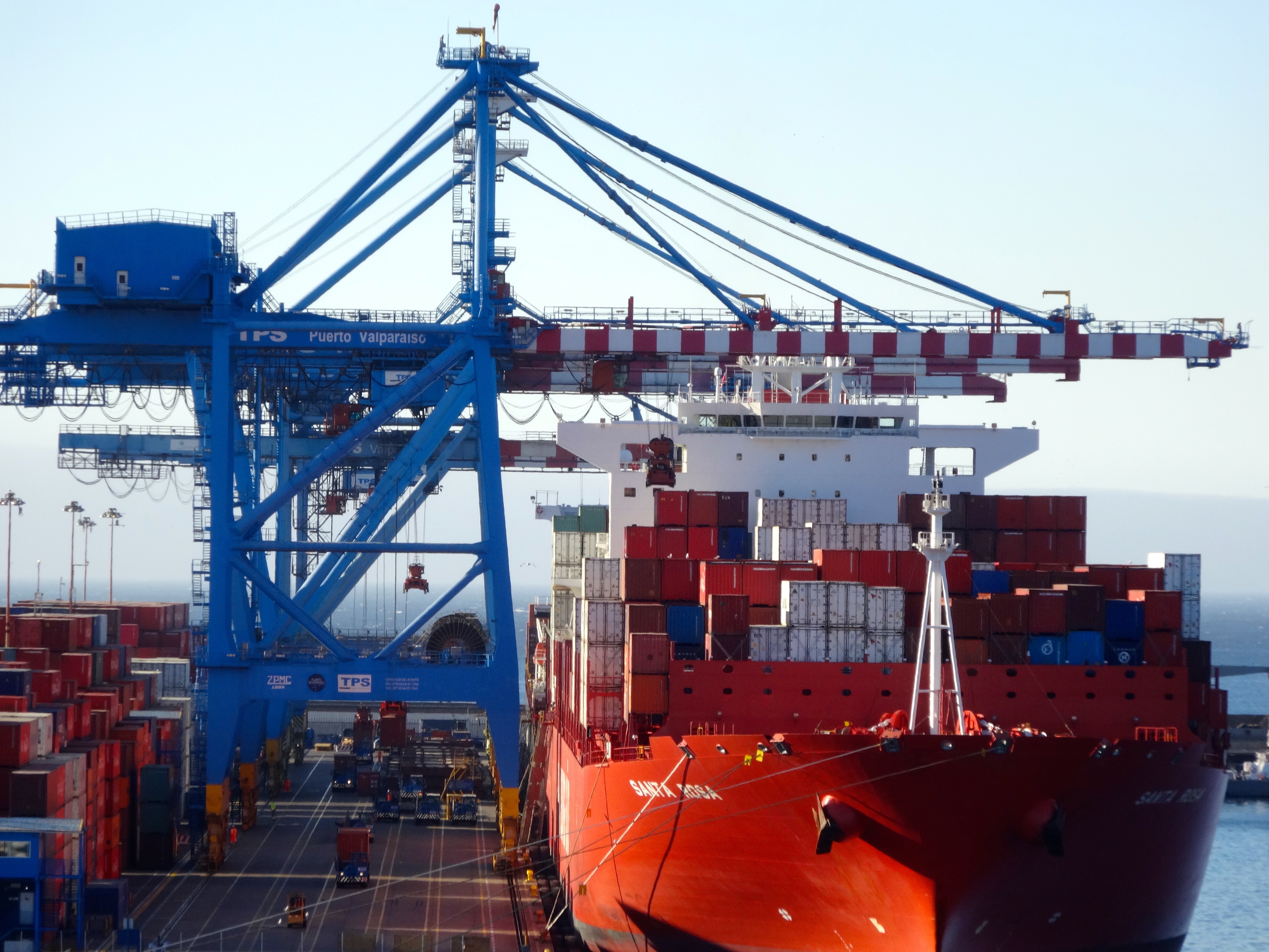
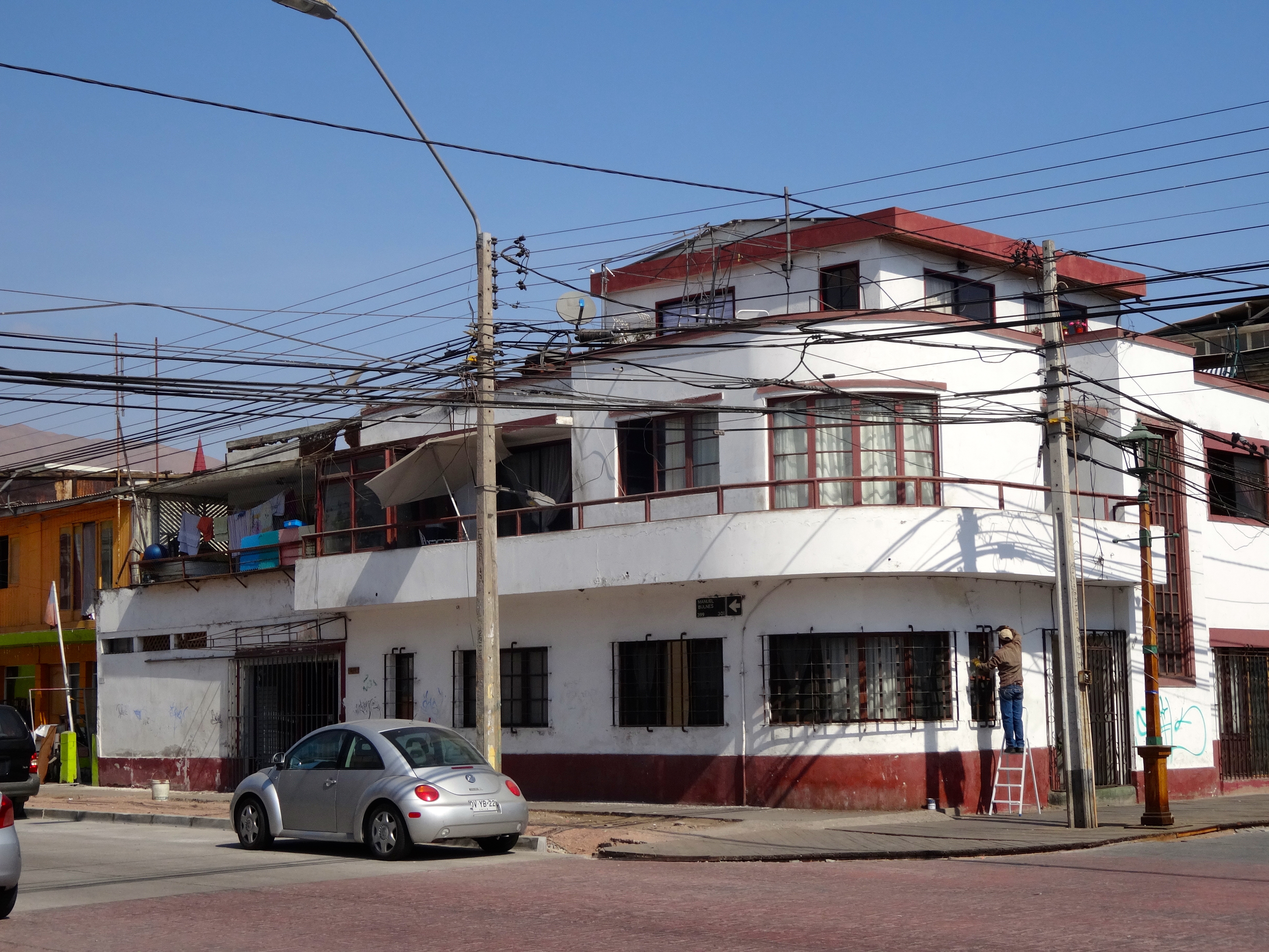
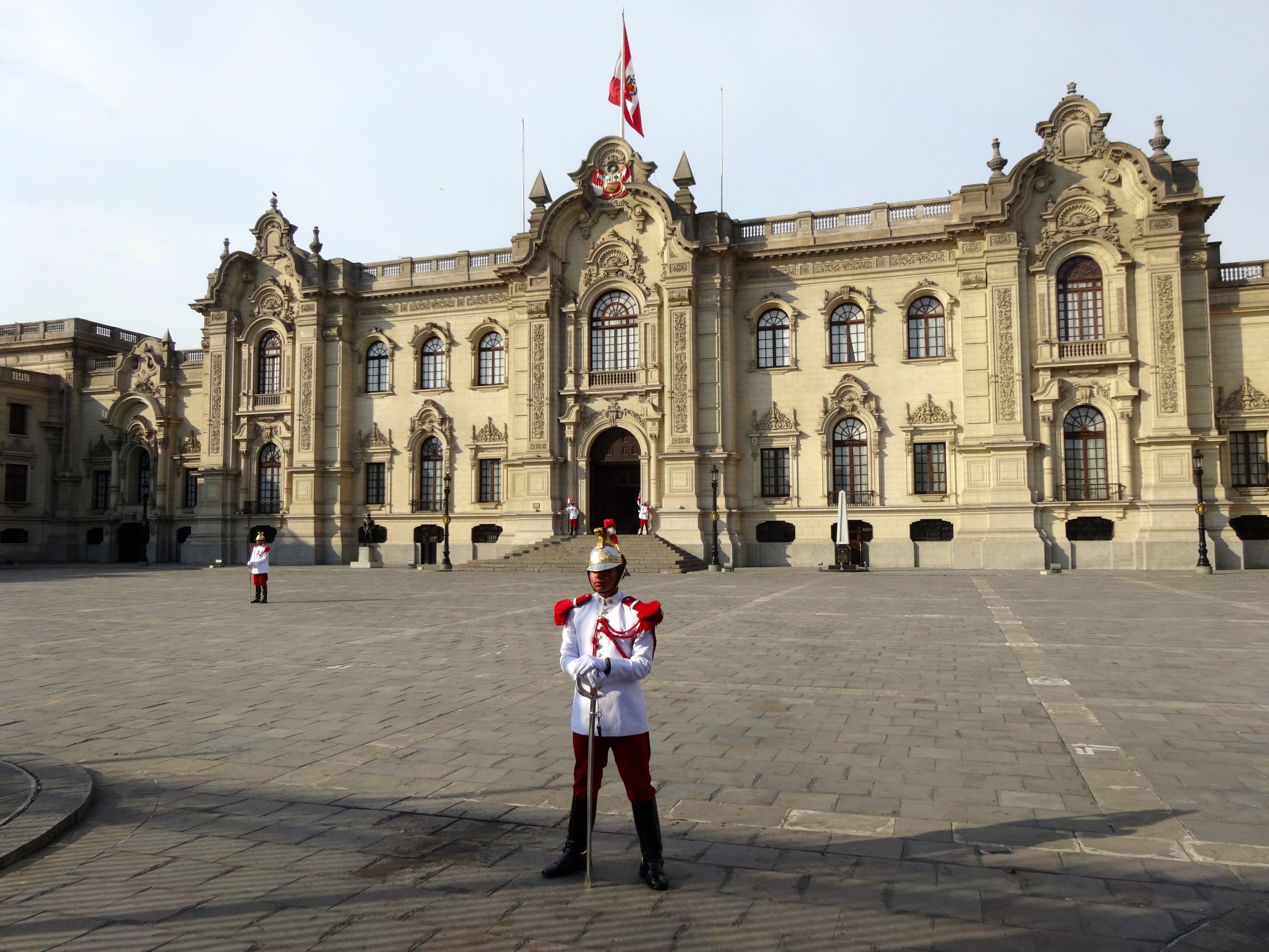
The tiny port village is called Chacabuco and is ringed by snowcapped mountains. Being this at an extreme southern latitude on the planet, snow falls almost all year long. You’ll notice the fresh snow in many of the pics attached.
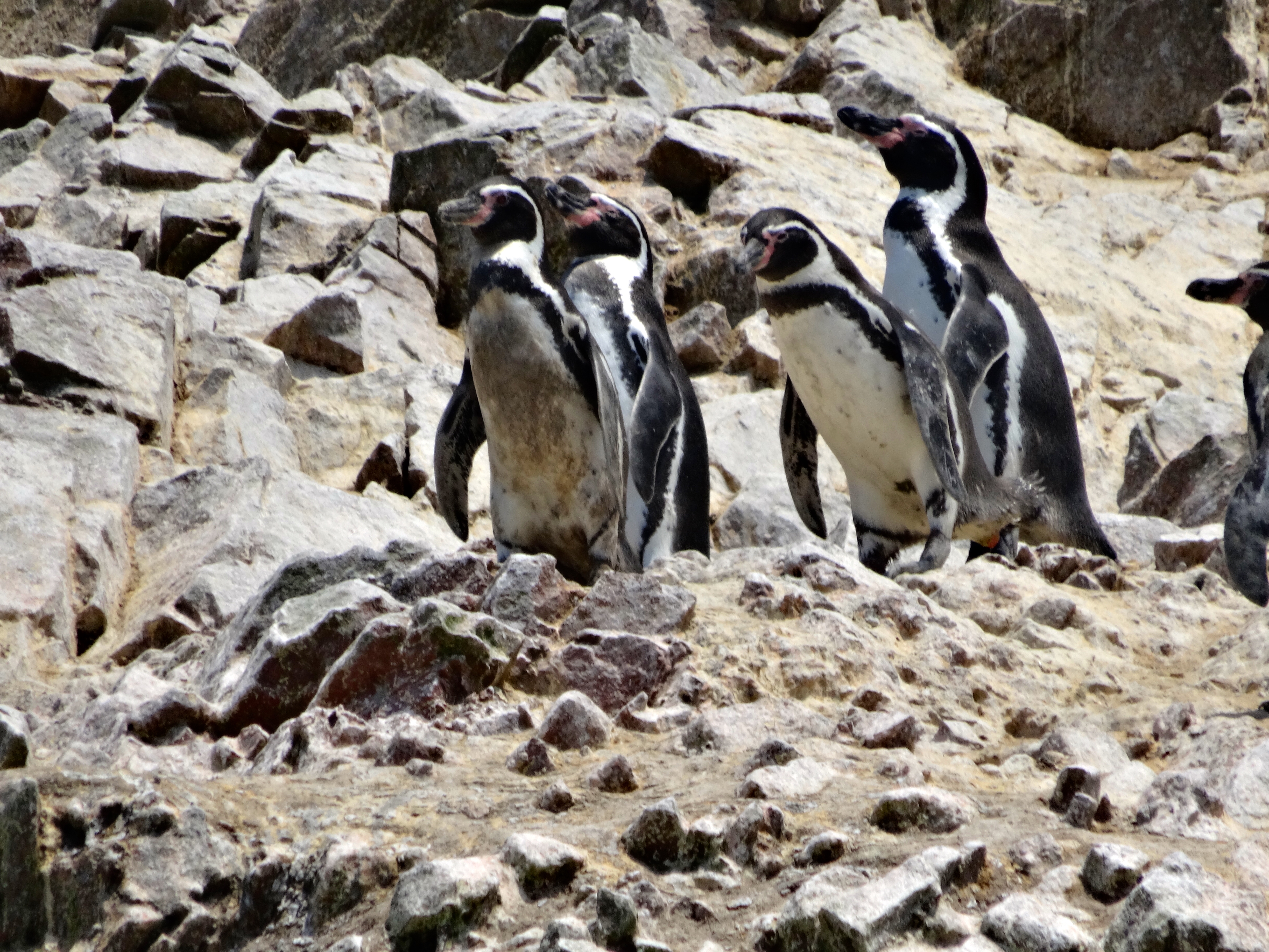
Patagonian ice sheets plunge to the sea and that area provided me the opportunity to see the Giant Condor (although not lucky enough to get a pic). This bird is endangered.


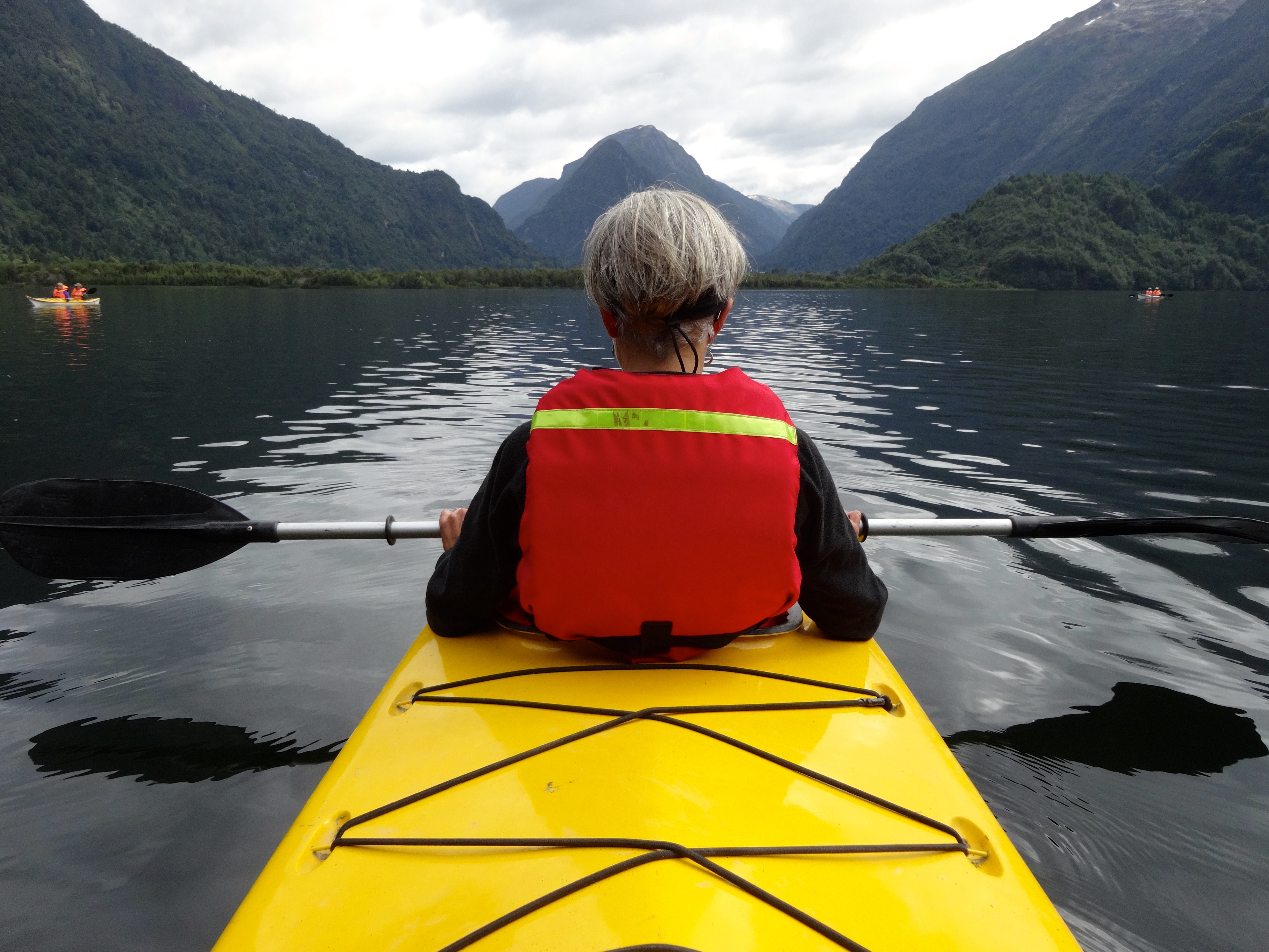
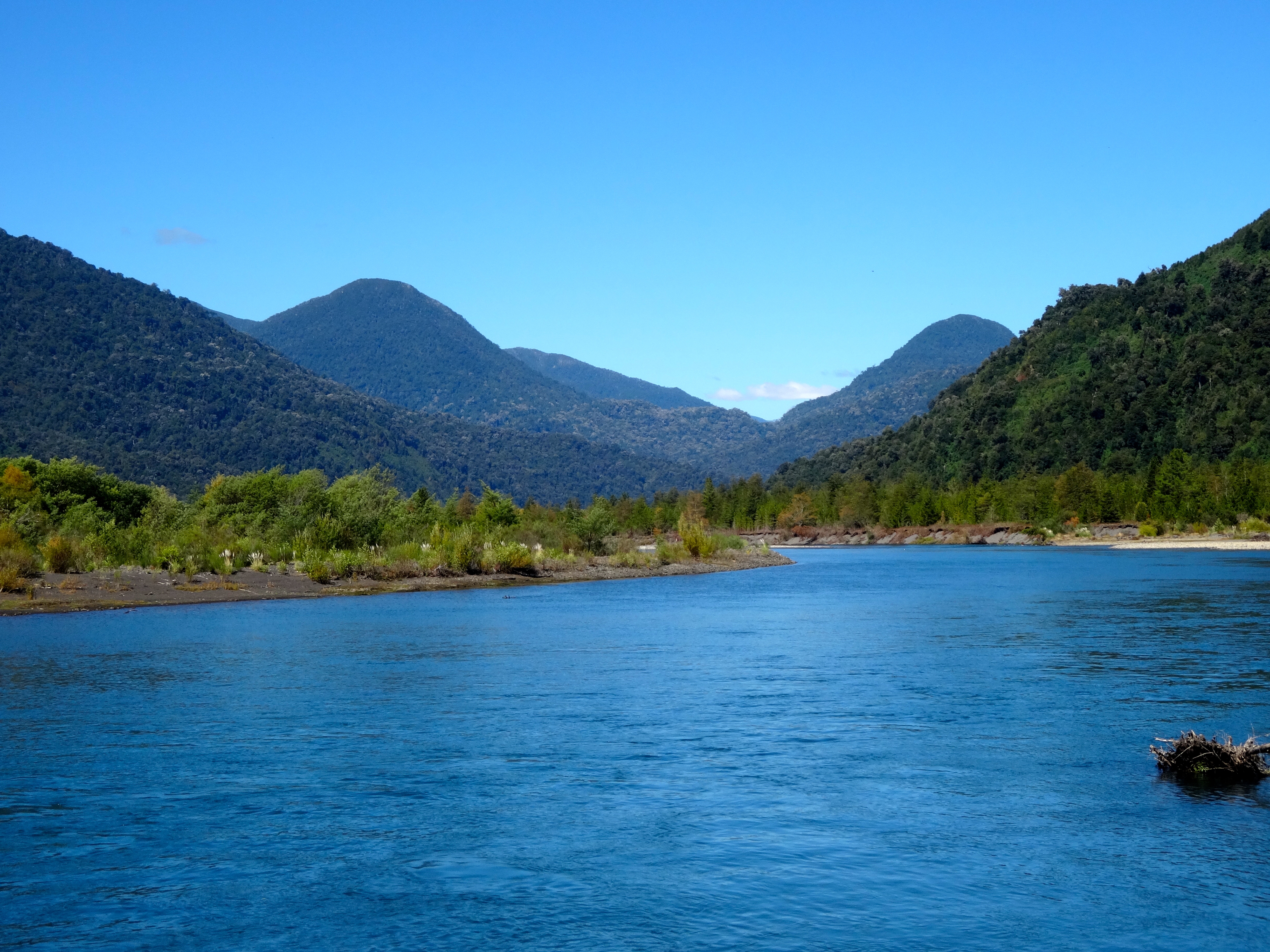
The Lake District has many rivers as well. The one we were rafting on is called the Petrohue. Since it is now the end of summer here the river was running low. Consequently, the rapids were in the 3-4 category. Earlier in the beginning of summer they range in the 4-5 category. The 3-4 were perfect. Only one dude in our raft was ejected and had to be pulled back in.
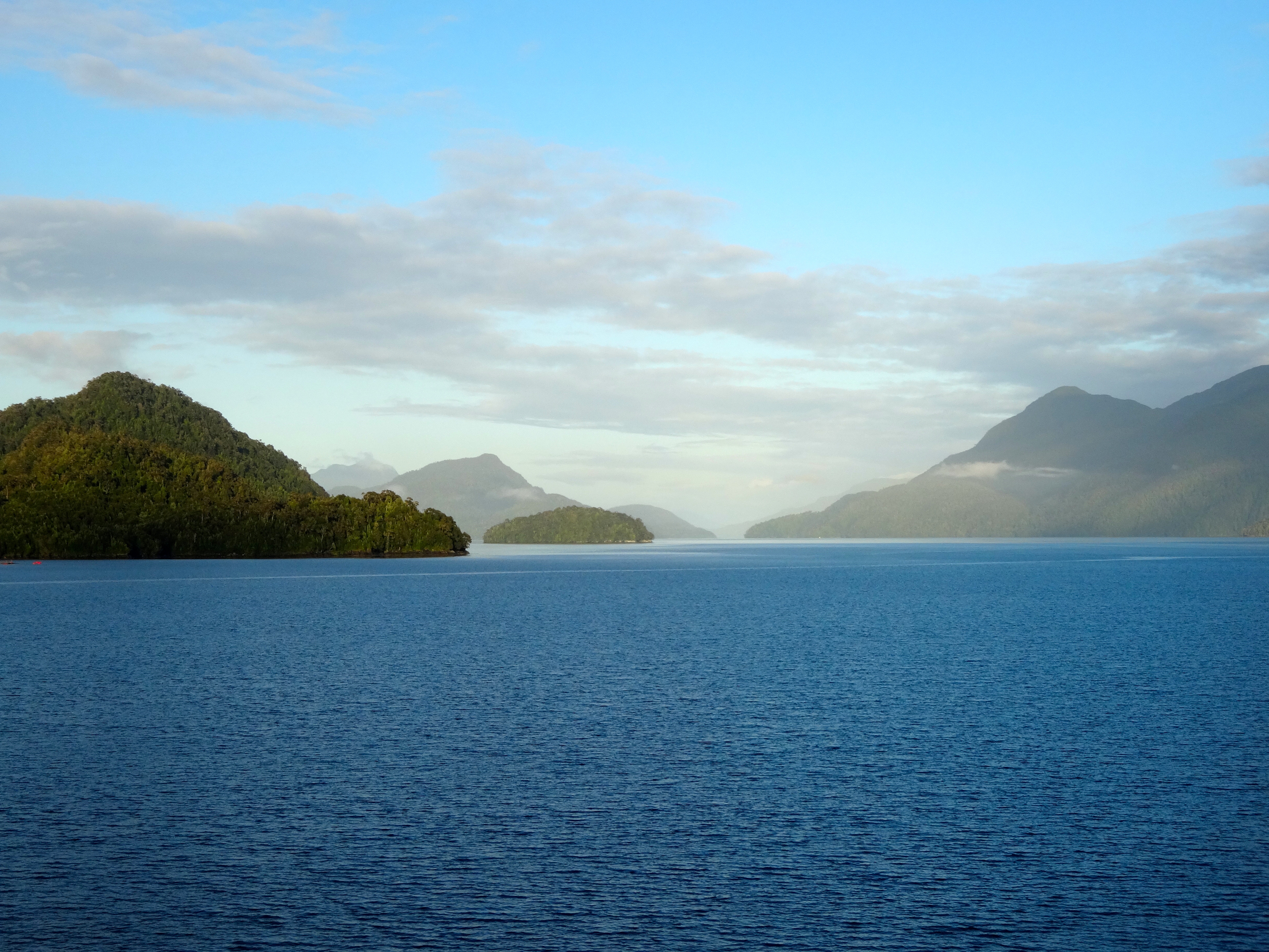
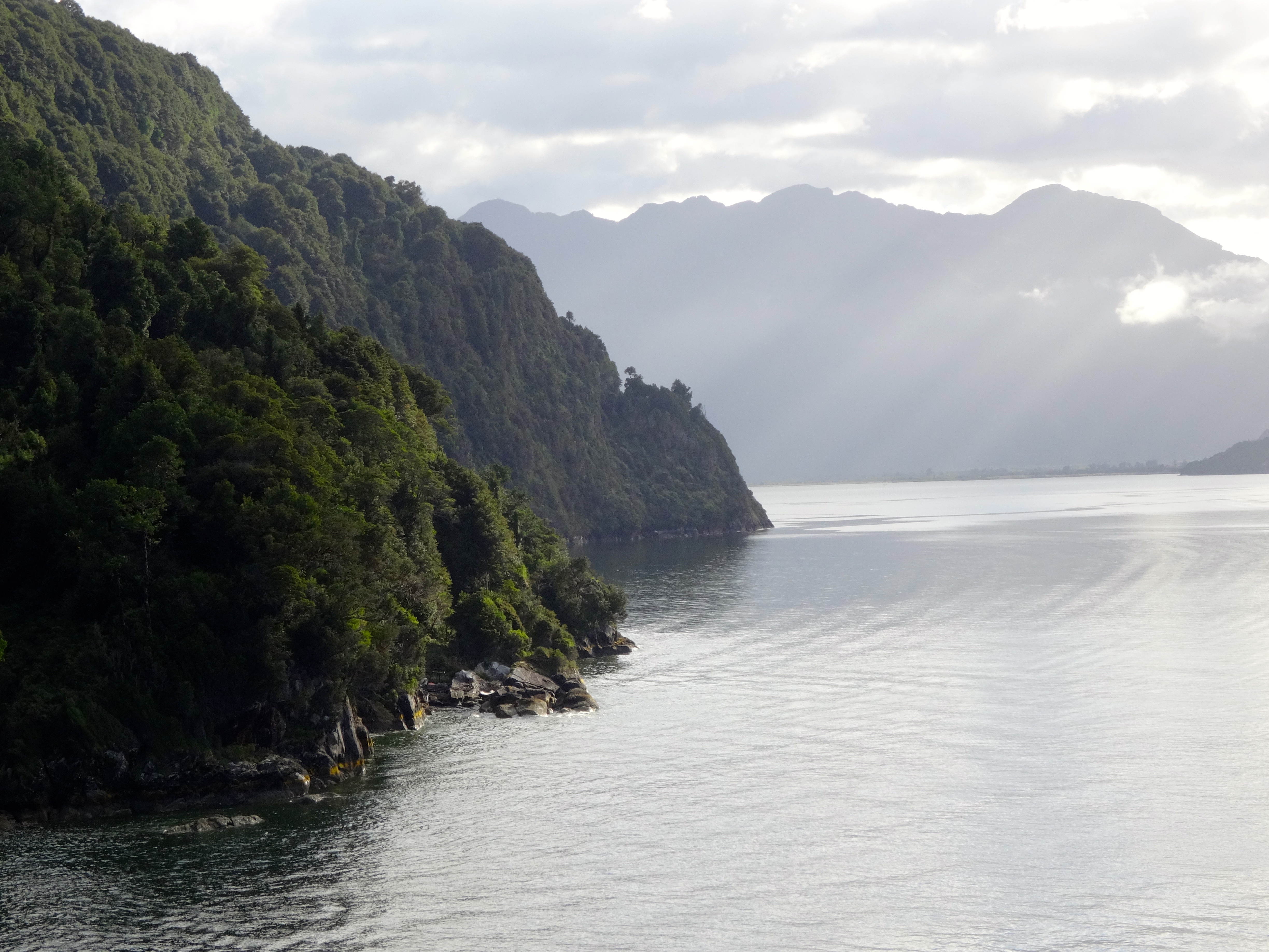
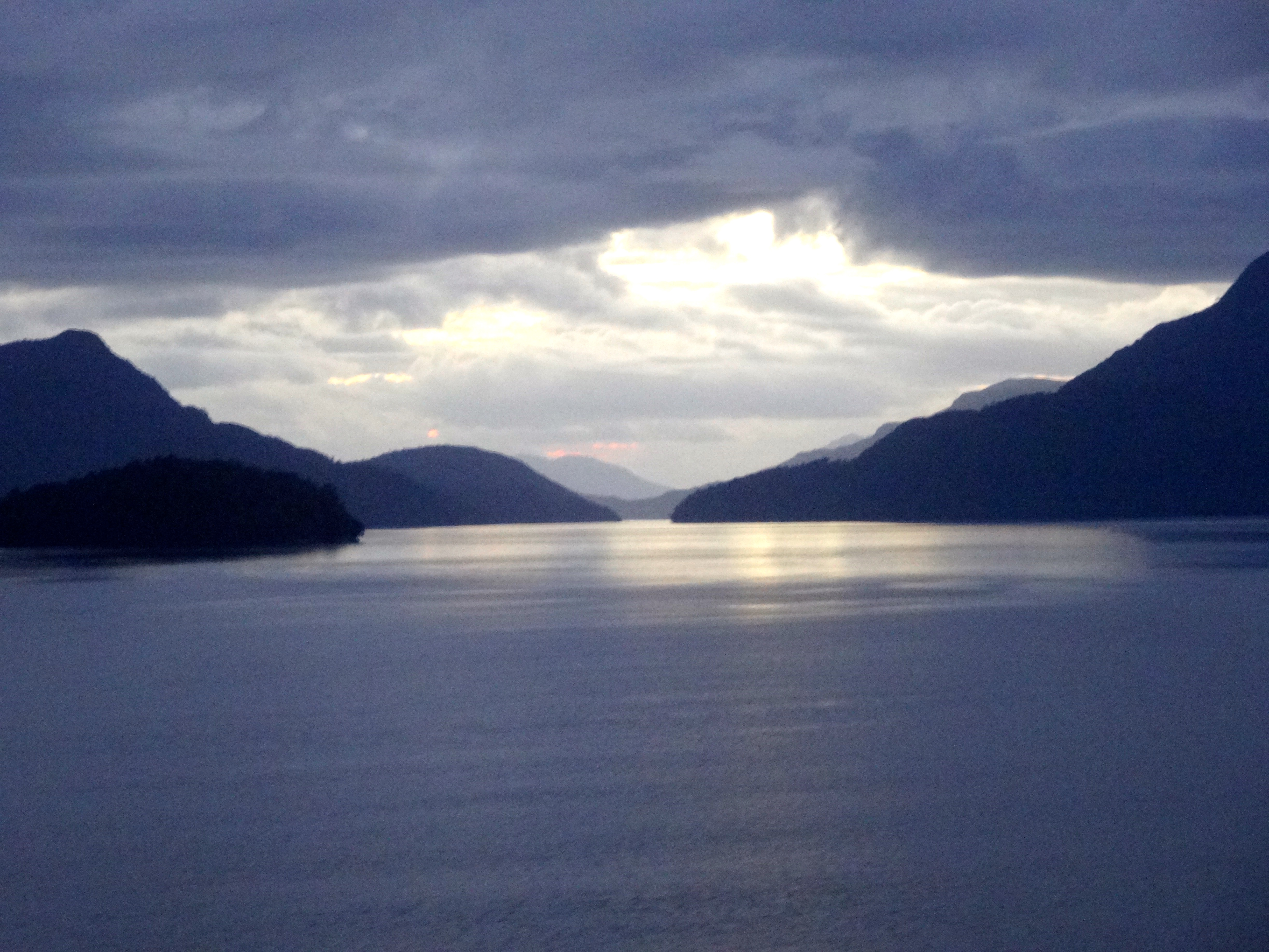
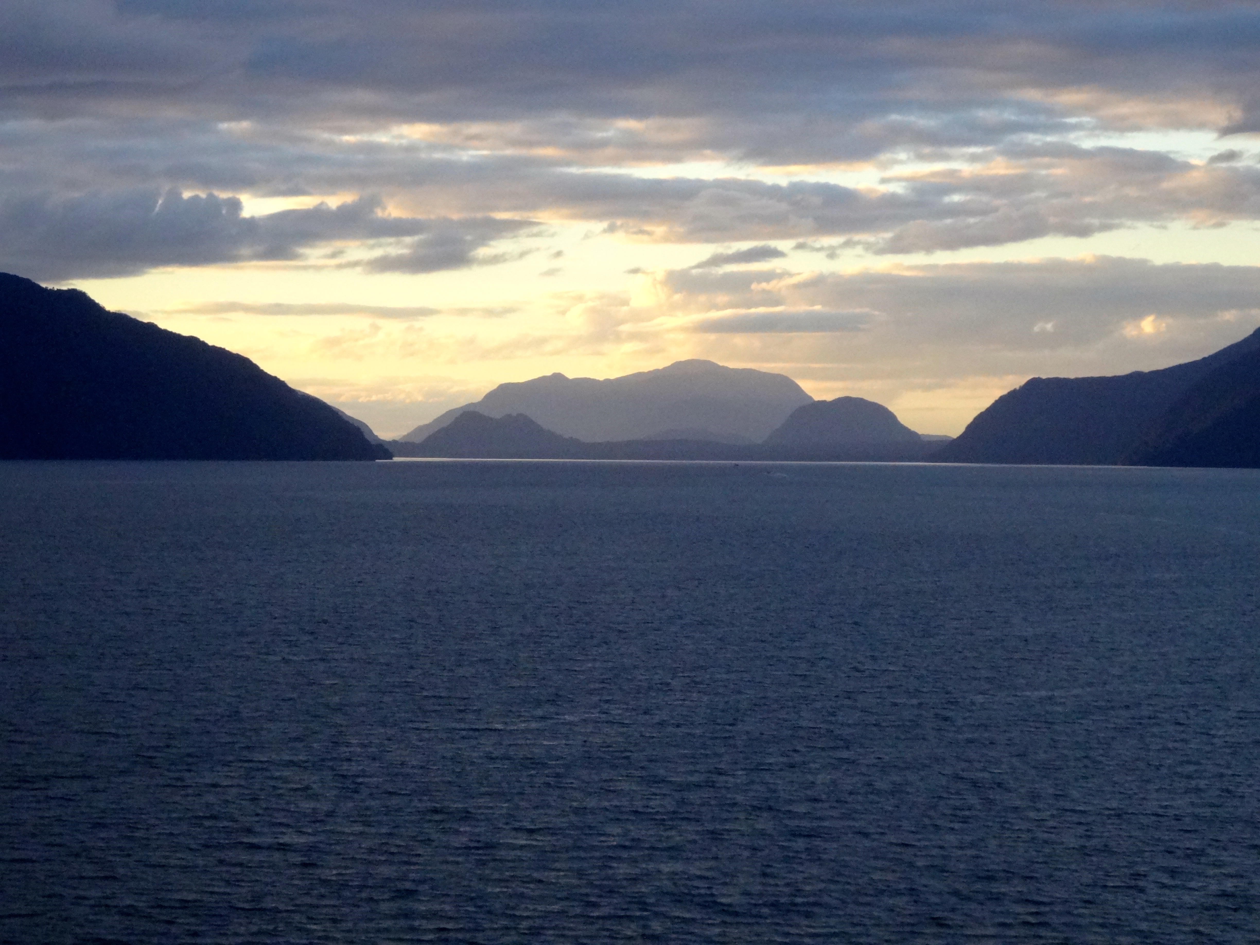
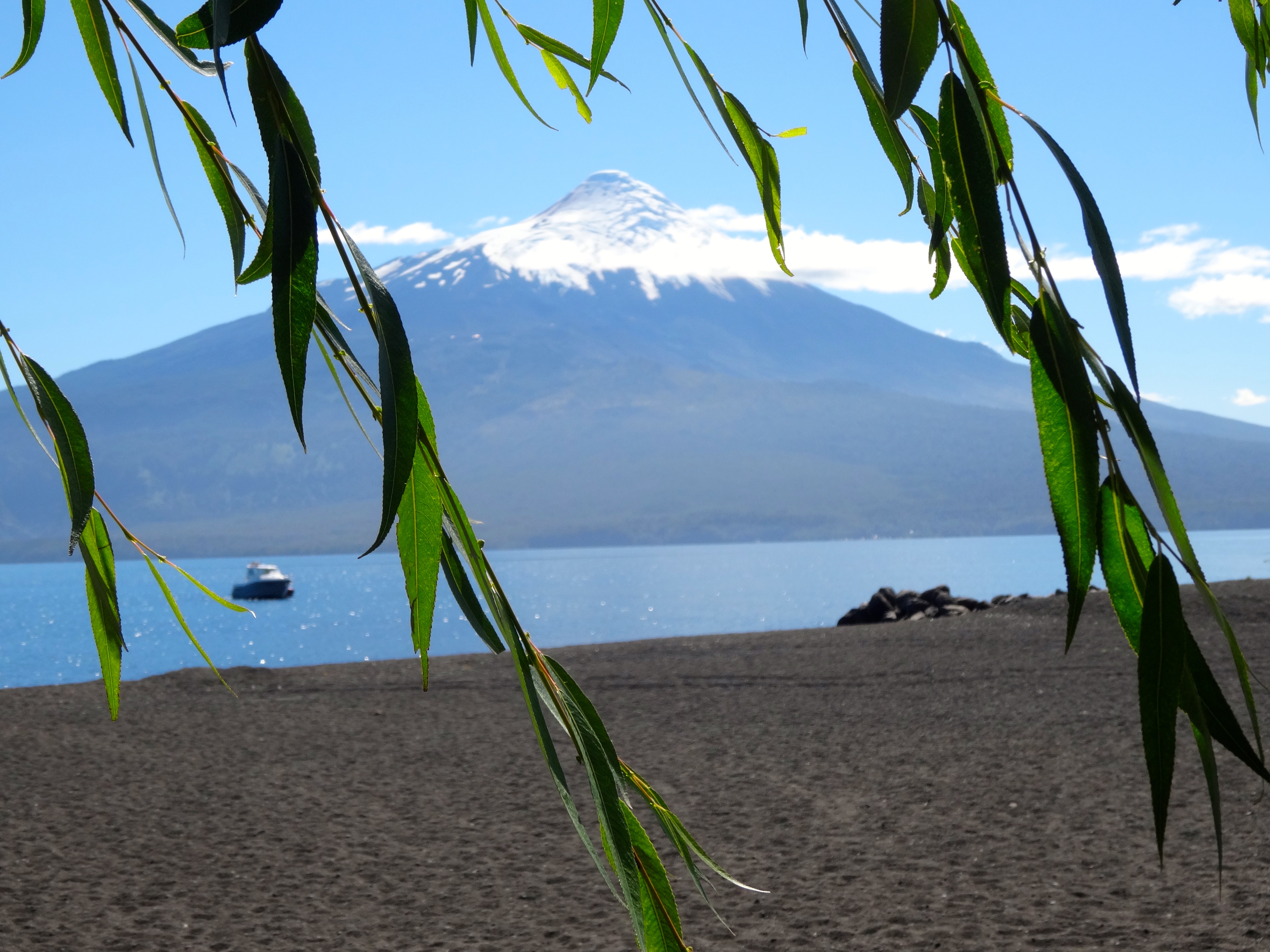
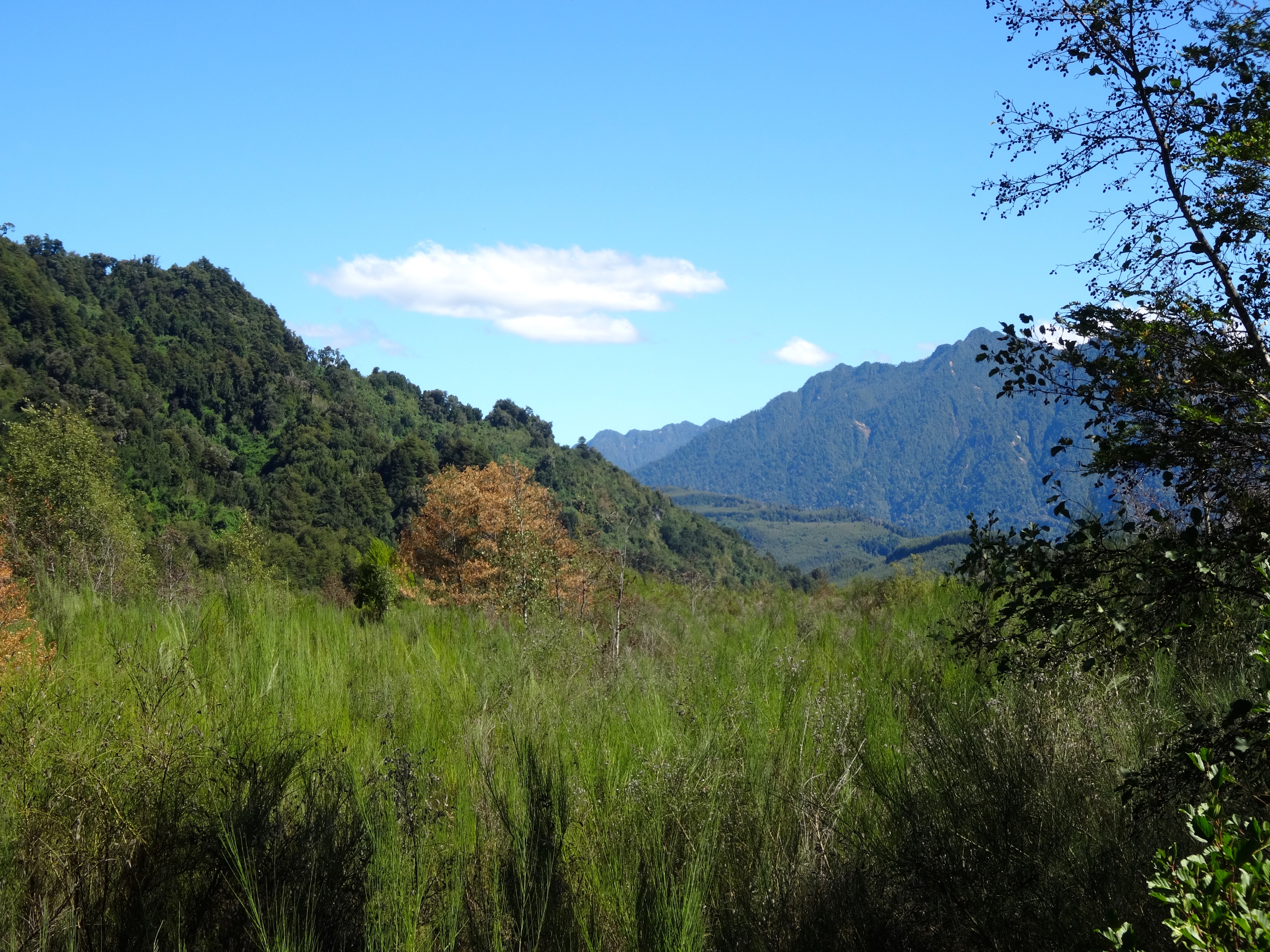
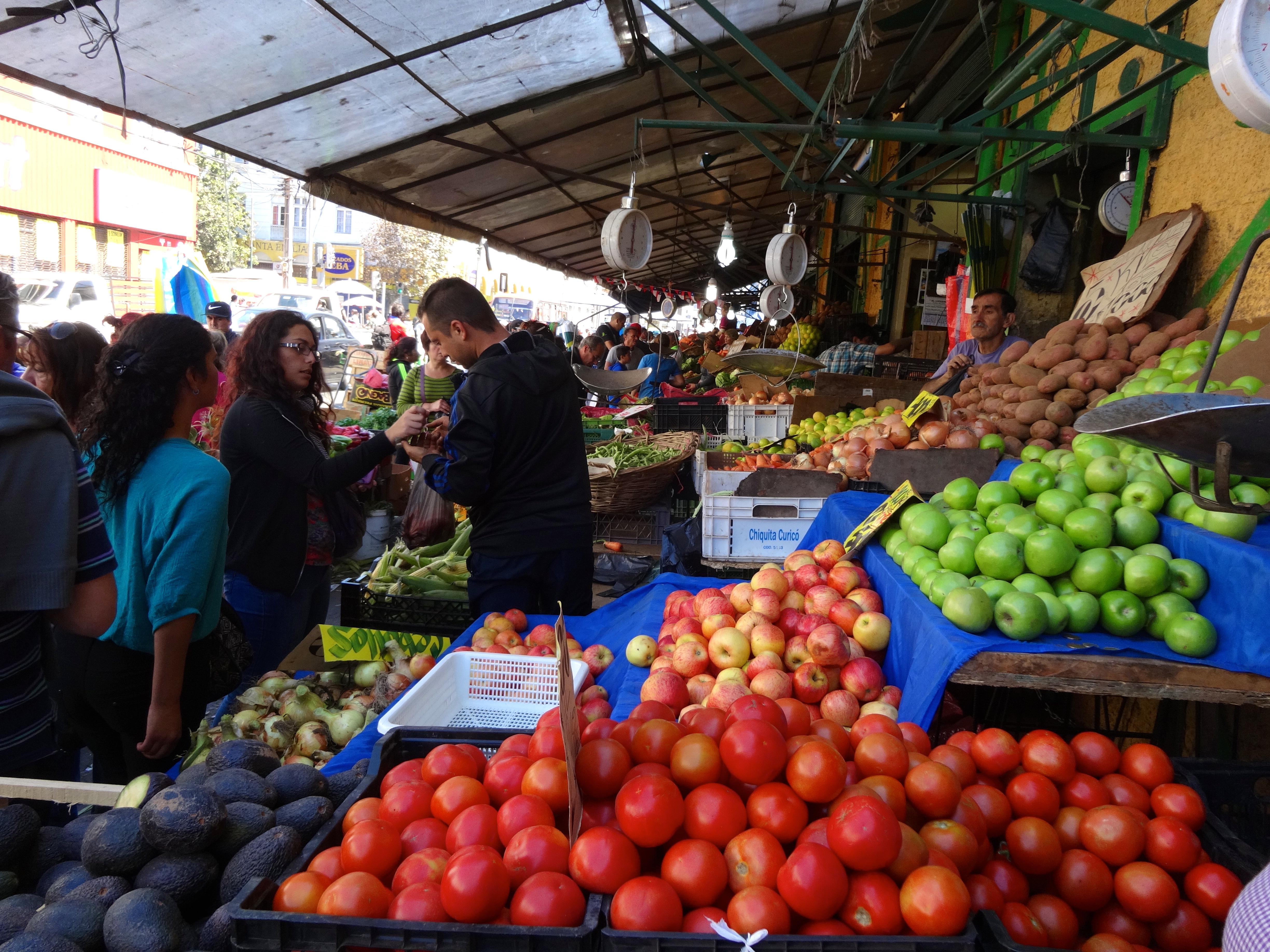
This region is named for its 12 biggest glacially carve lakes. There are dozens of smaller ones as well. Stream fishing is awesome here.
Since I was unable to have my camera in my hands while rafting (because of the paddle) I missed some very amazing photo opportunities. That was the only bummer of this incredible experience.
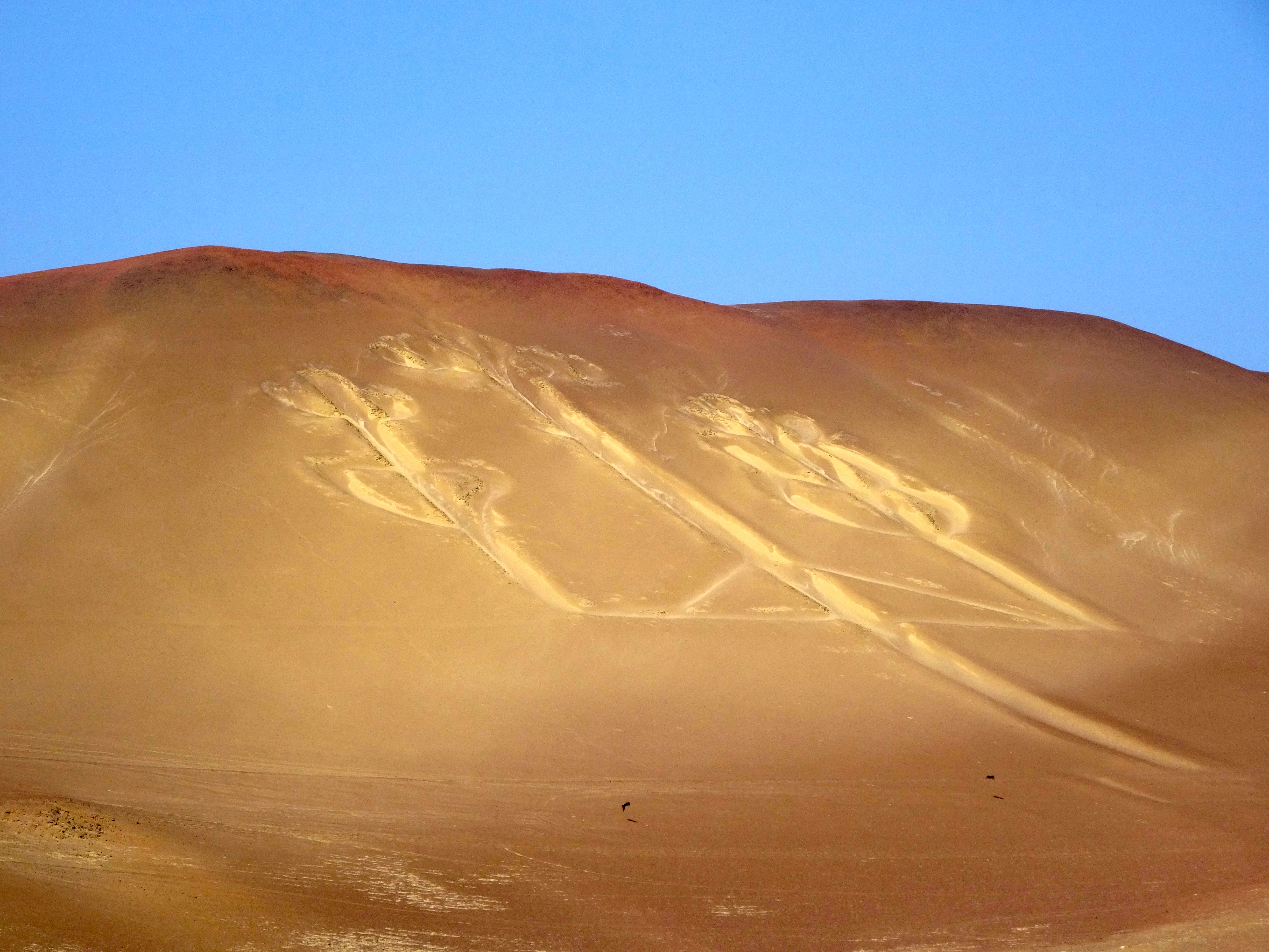
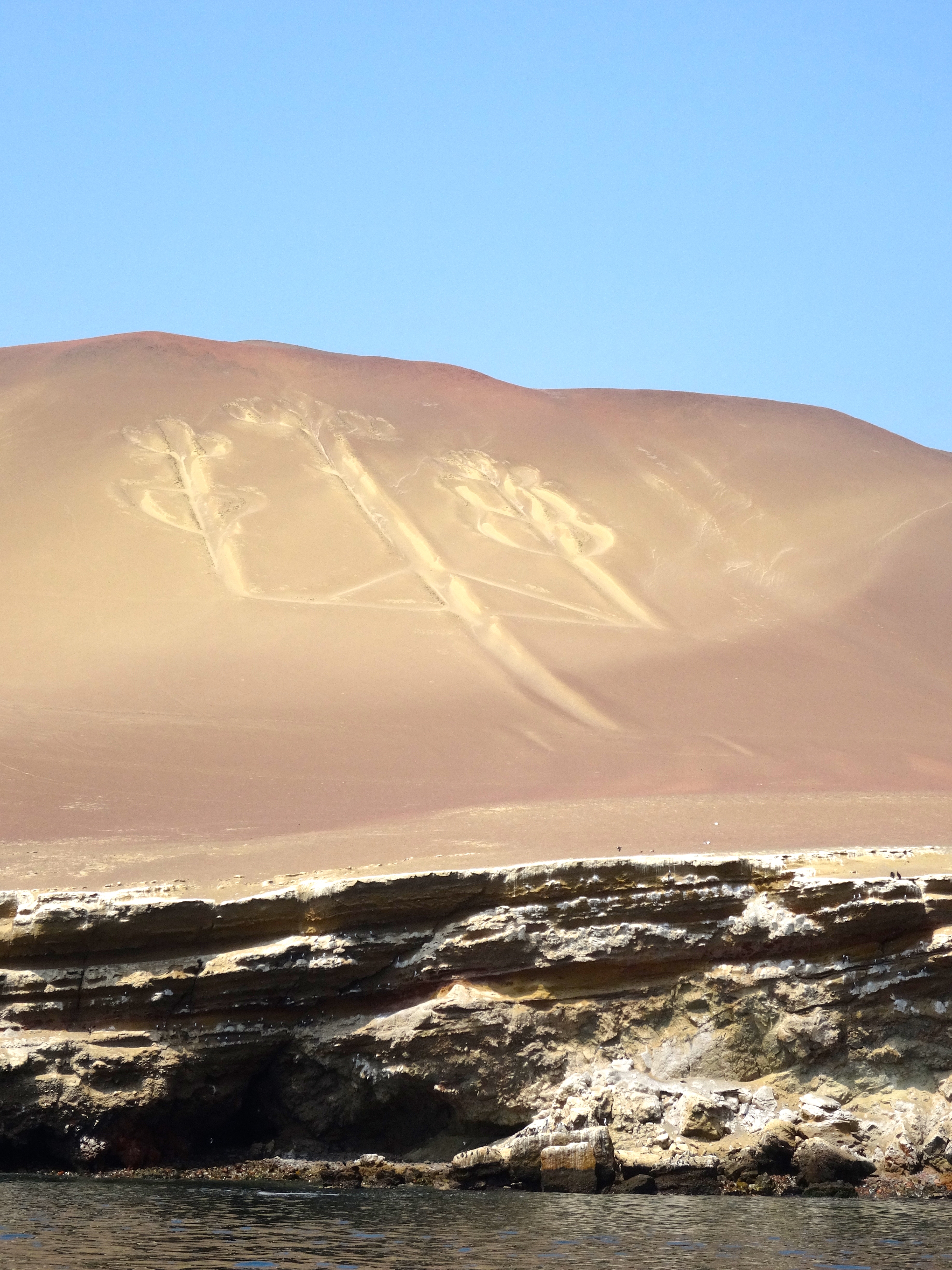
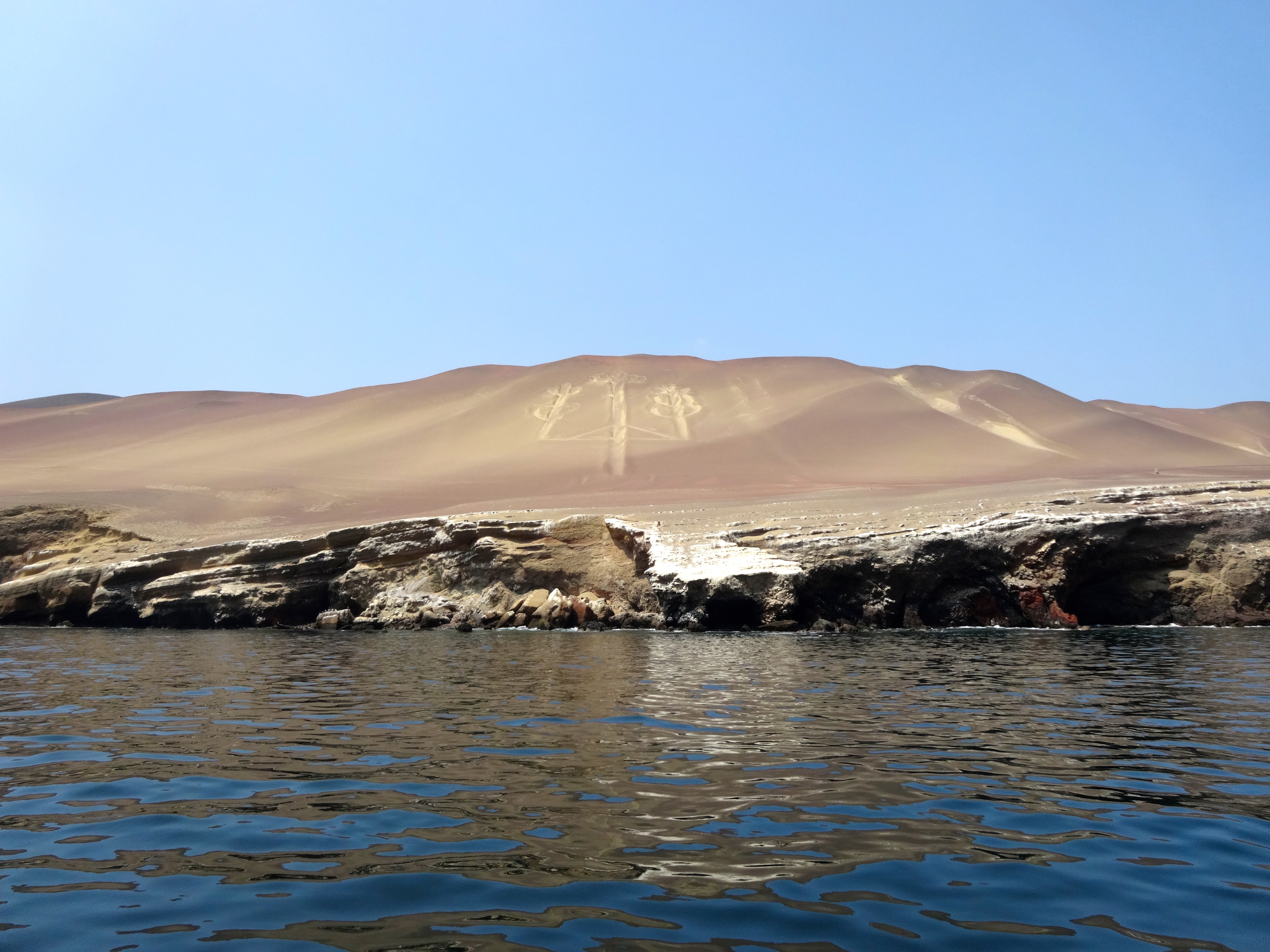
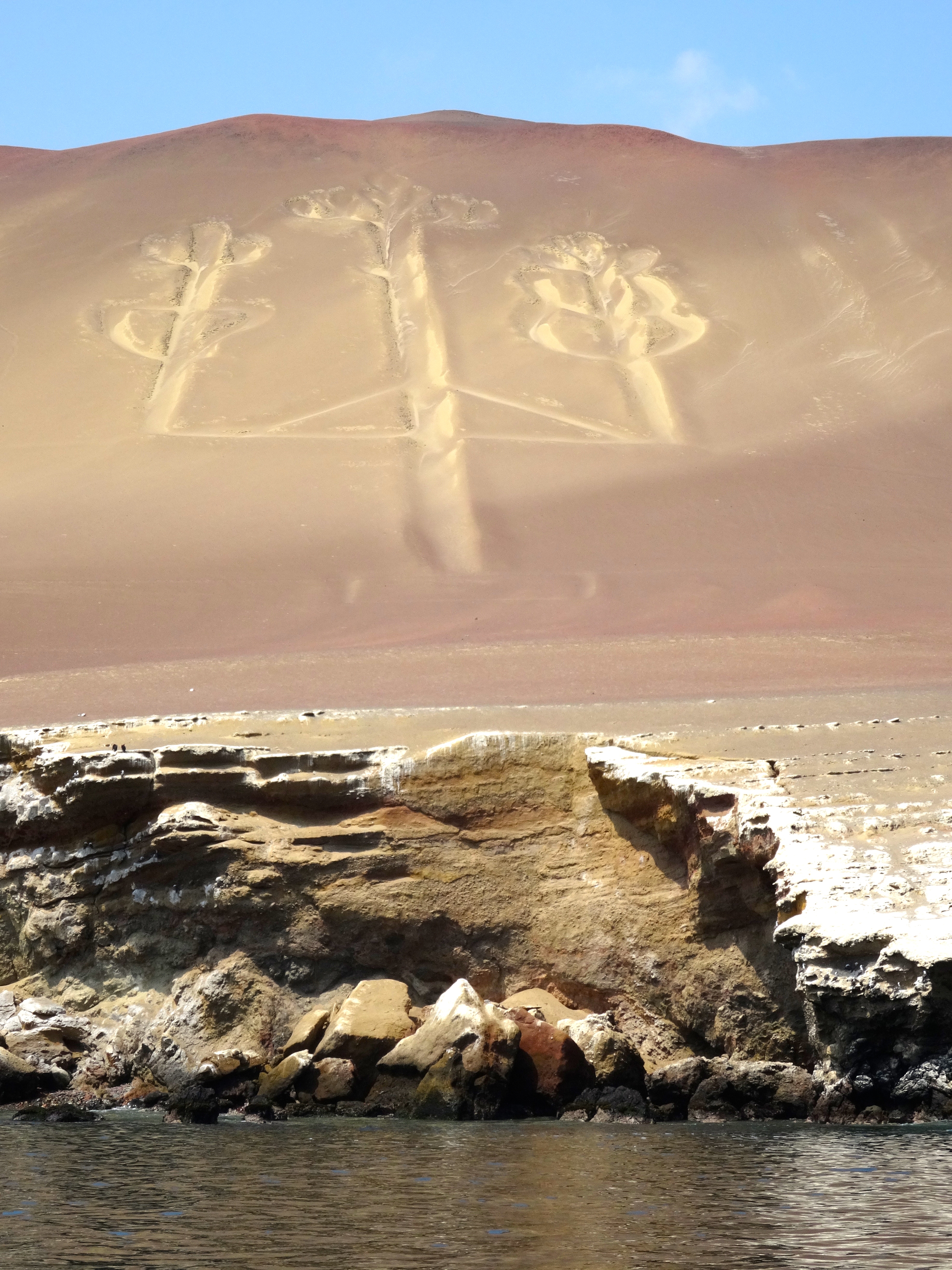
Archeologists have found pottery nearby which has been carbon dated to 200 BC and part of the Paracas Culture. Its purpose and symbology are in doubt, however one theory is that is was dug as a marker of some sort. Some archeologists say it is merely a trident. It was discovered in 1860. There is also a theory that it is related to a similar symbol found in California’s Cleveland National Forest. The archeologist associates the two candelabras in this way: The ancient inhabitants of Peru voyaged to California to collect Jimson Weed and other hallucinatory drugs. The archeologist believes the symbol resembles the Jimson Weed itself and served as a navigational aid. Hallucinatory drugs were widely used by these peoples in ceremonies and rituals. Please note that the hallucinagens were not used as navigational aids, just the symbol of course.


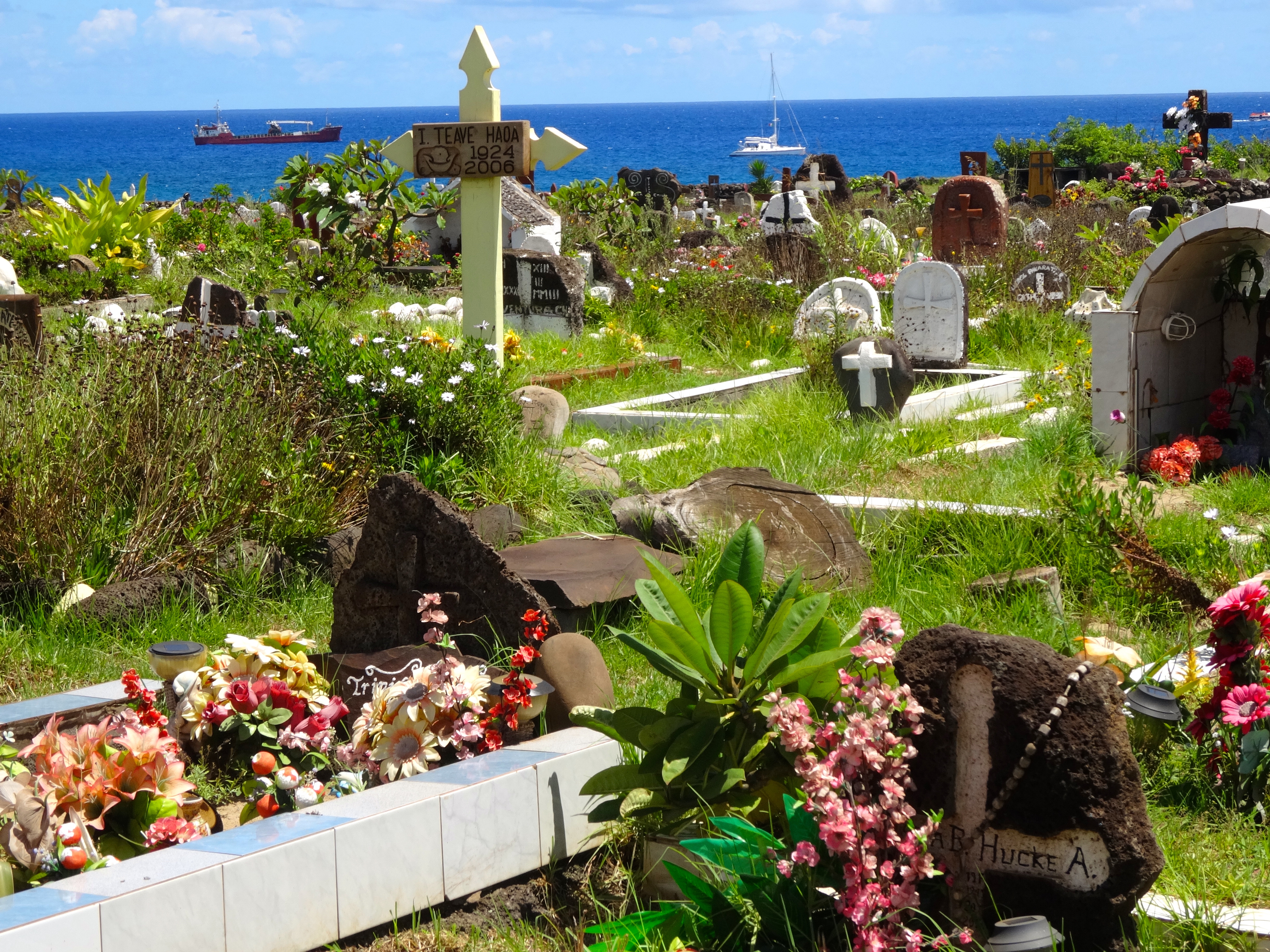
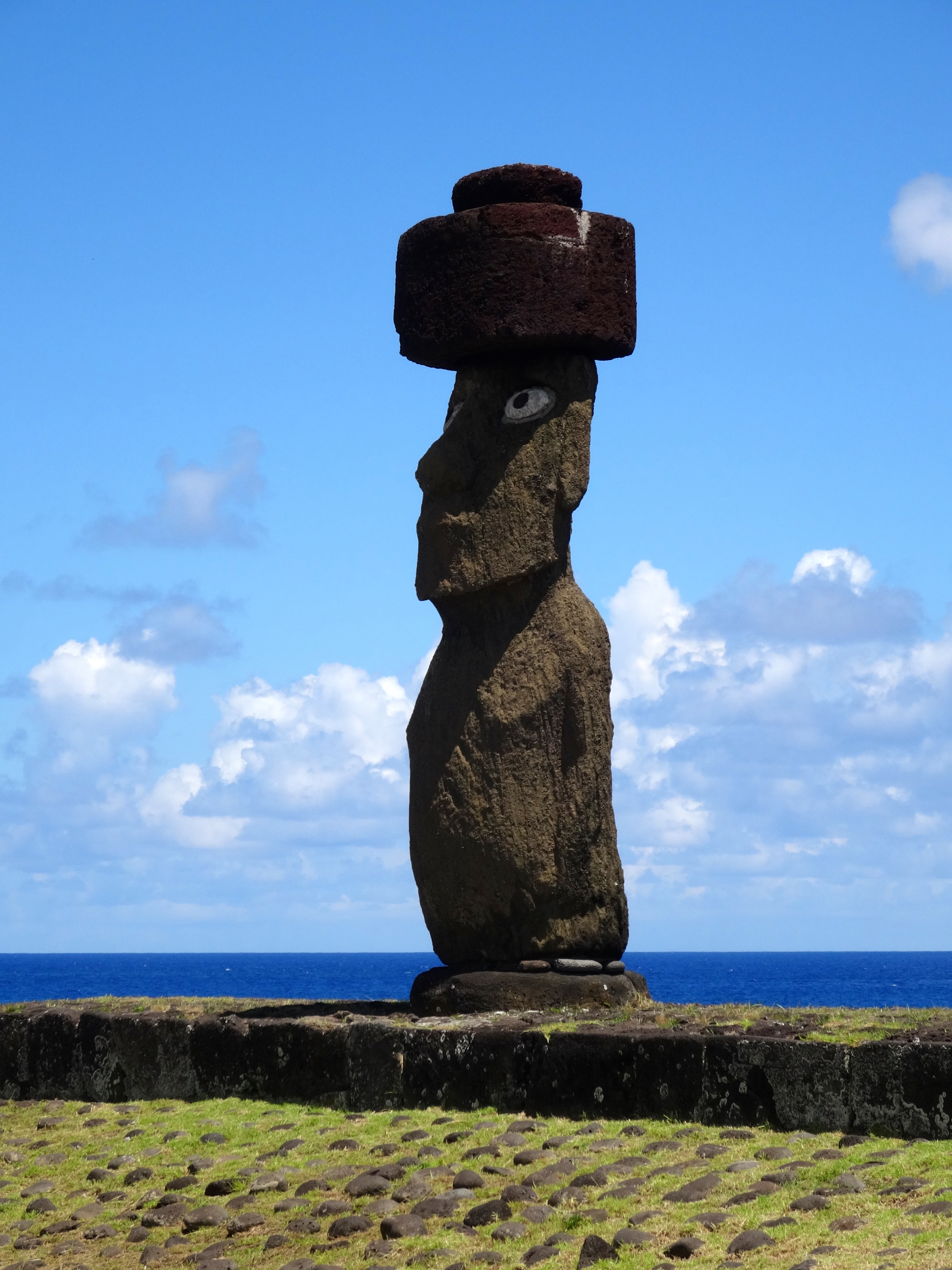
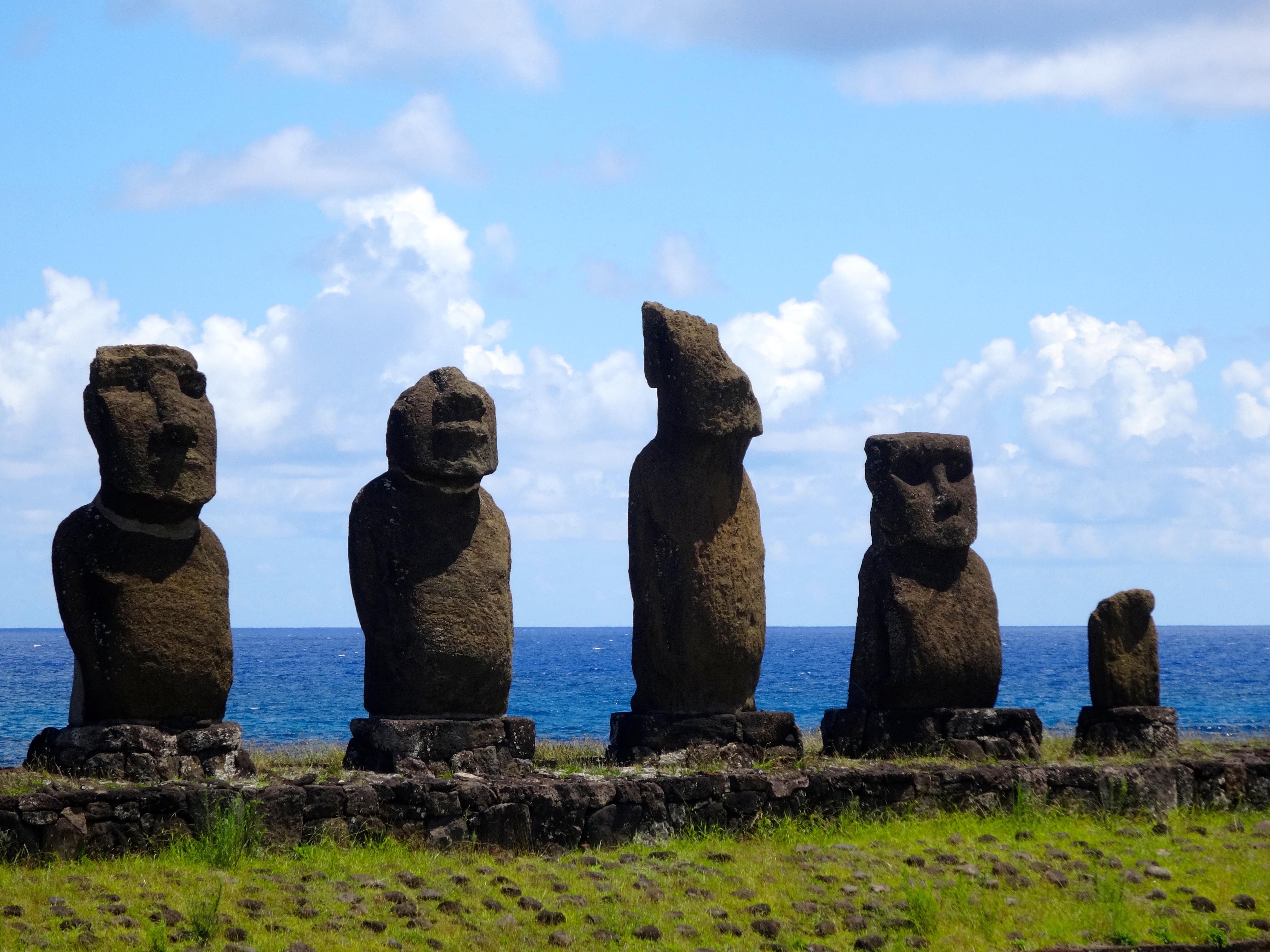
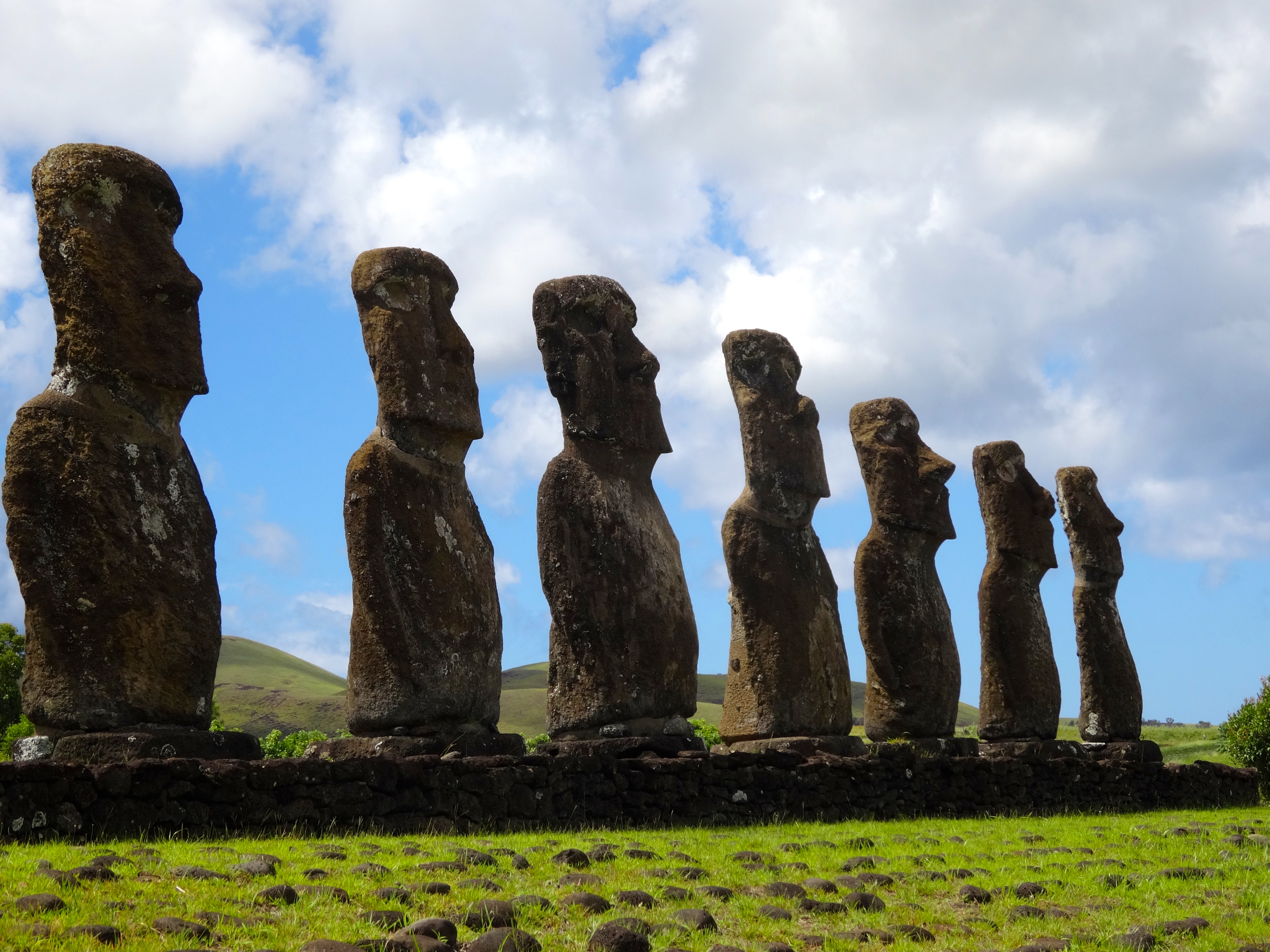
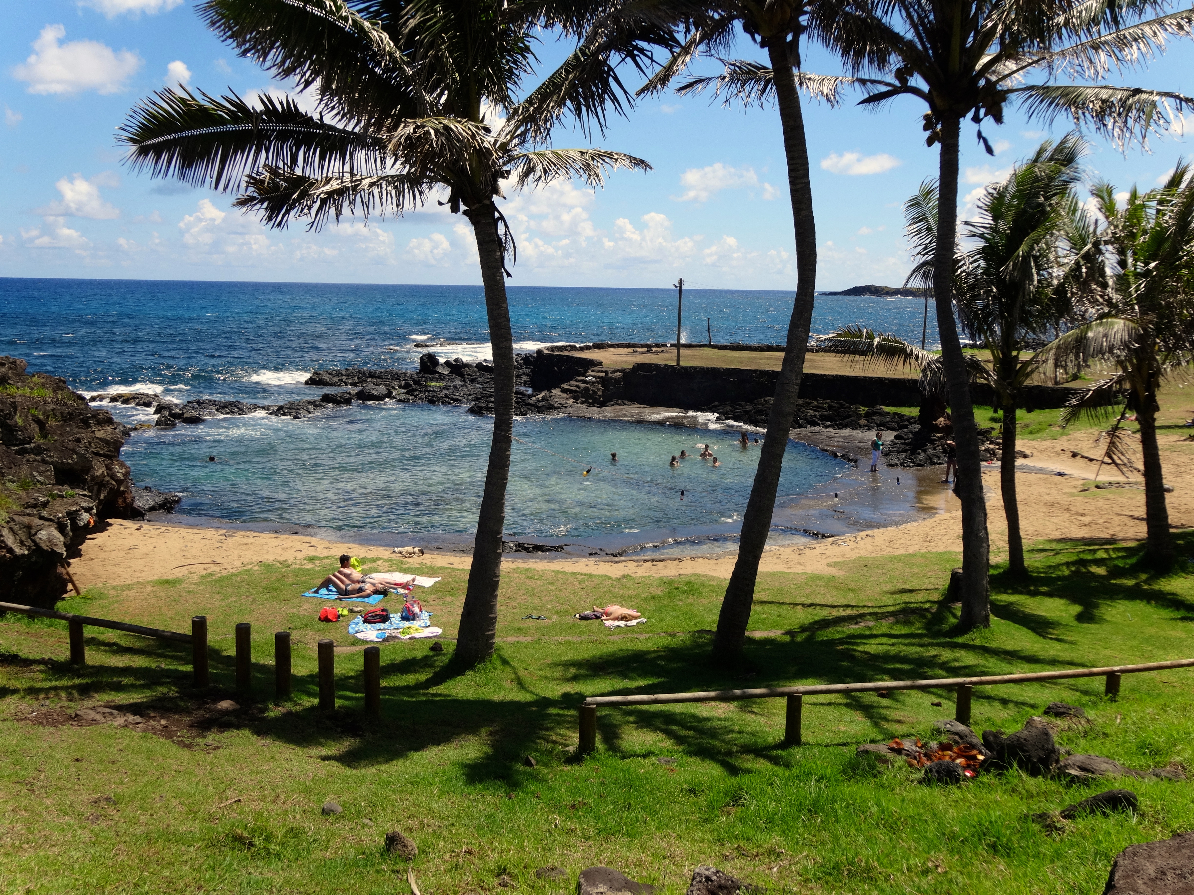
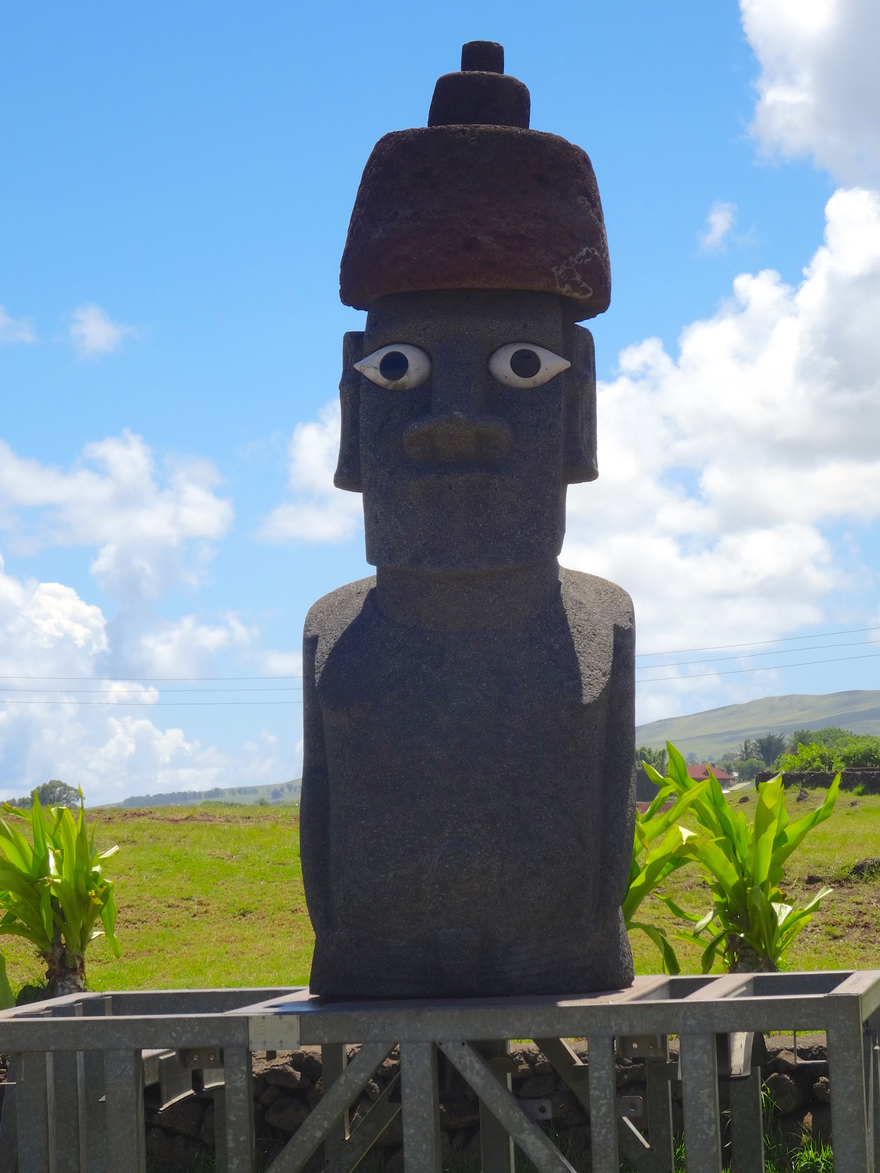
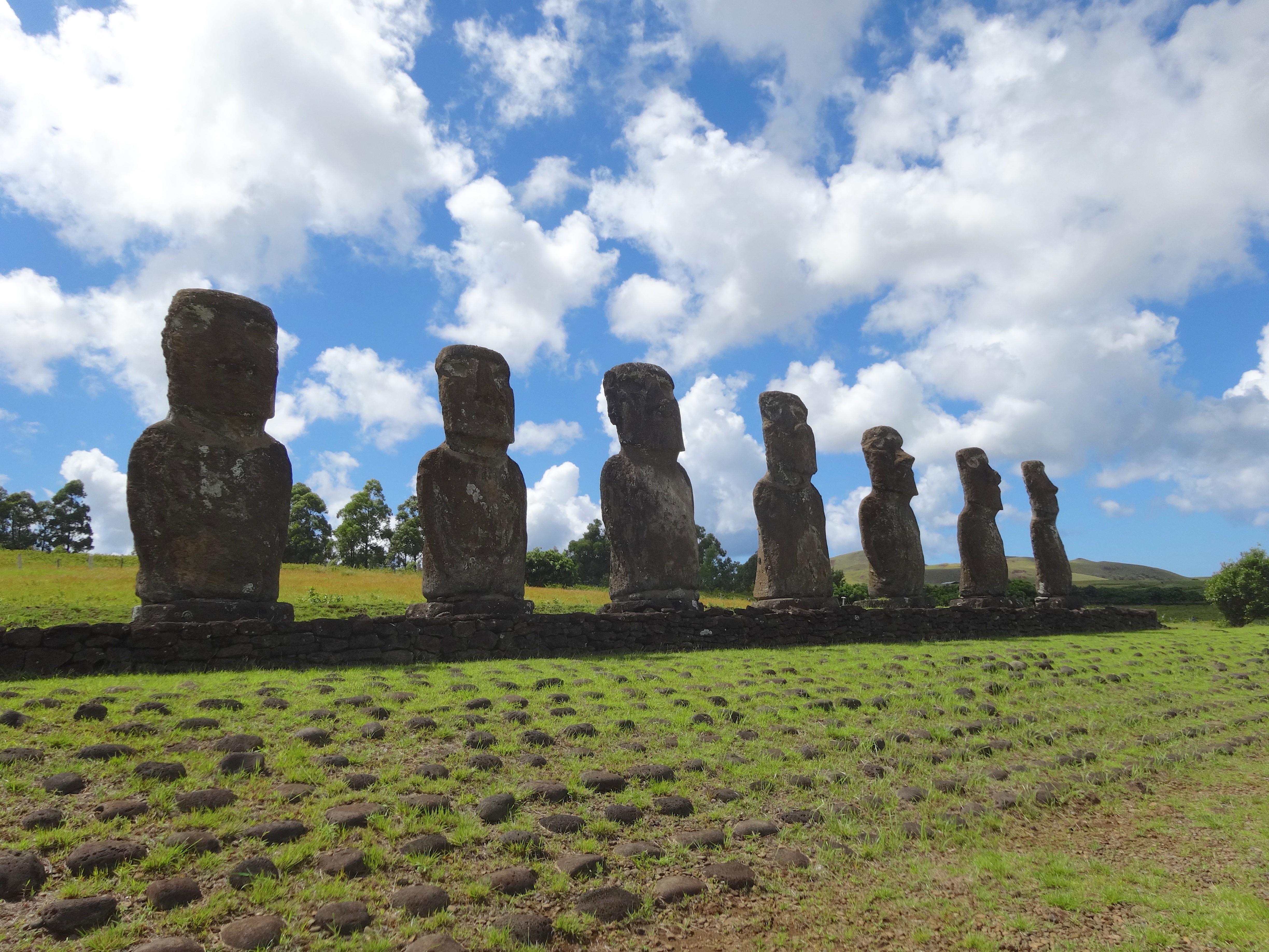
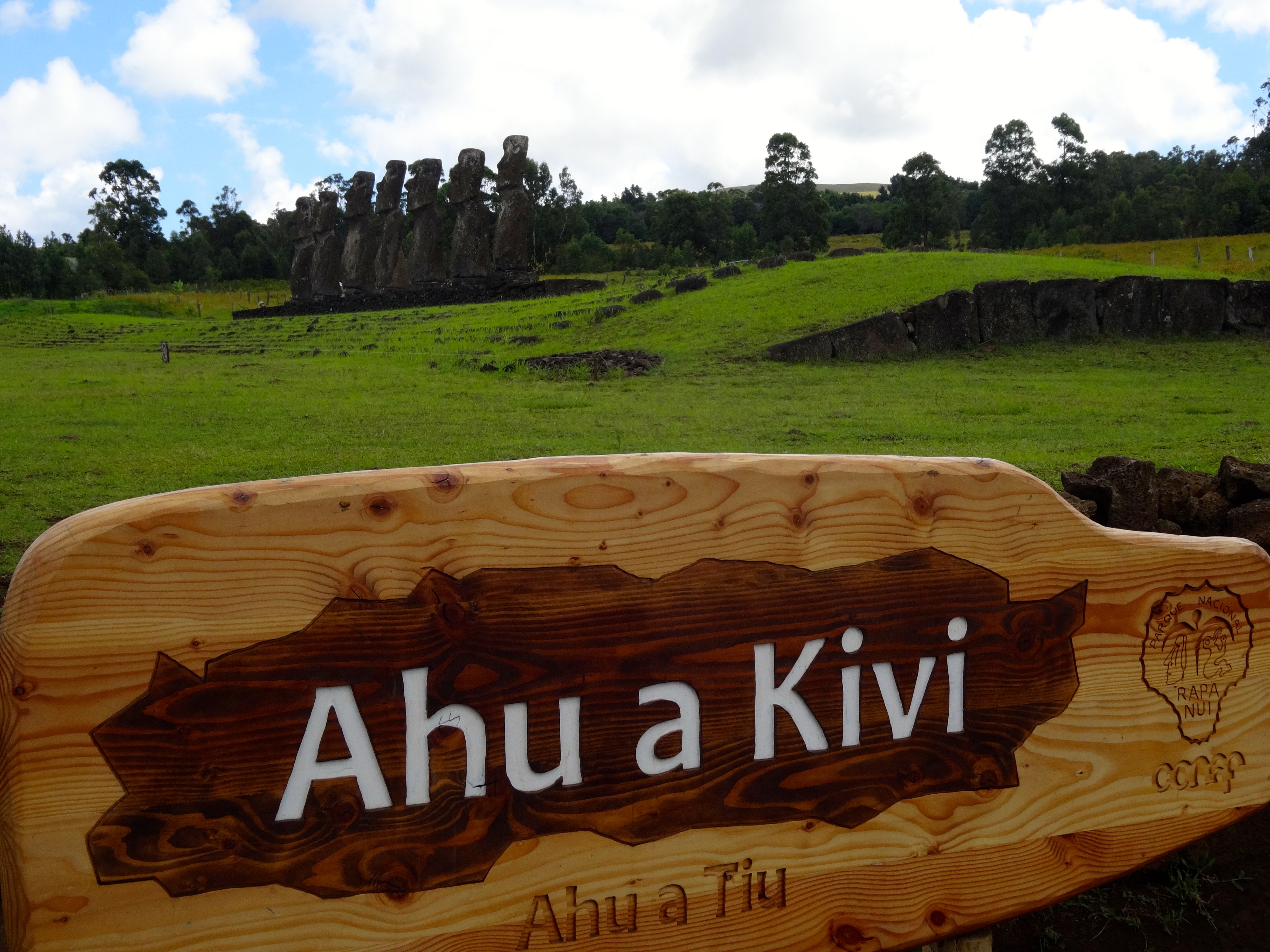
Today much of the island is a protected UNESCO World Heritage site. The Polynesian people settled here in the first millennium. They estimate that at one time the tiny island sustained nearly 15,000 people. However, overpopulation and the introduction of the Polynesian Rat resulted in the gradual and complete deforestation of the entire island. This event then led to the decline of the Rapa Nui civilization.
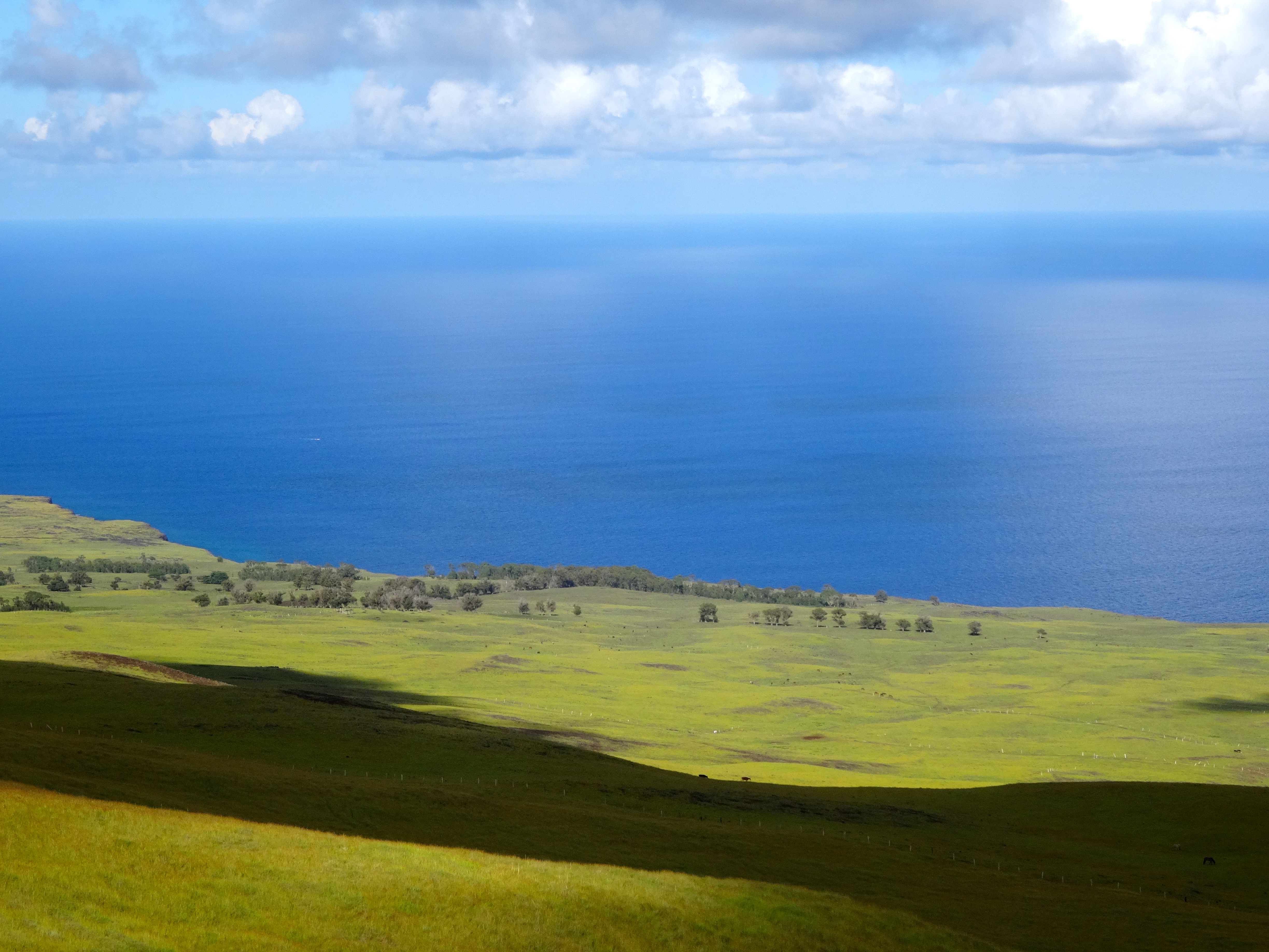
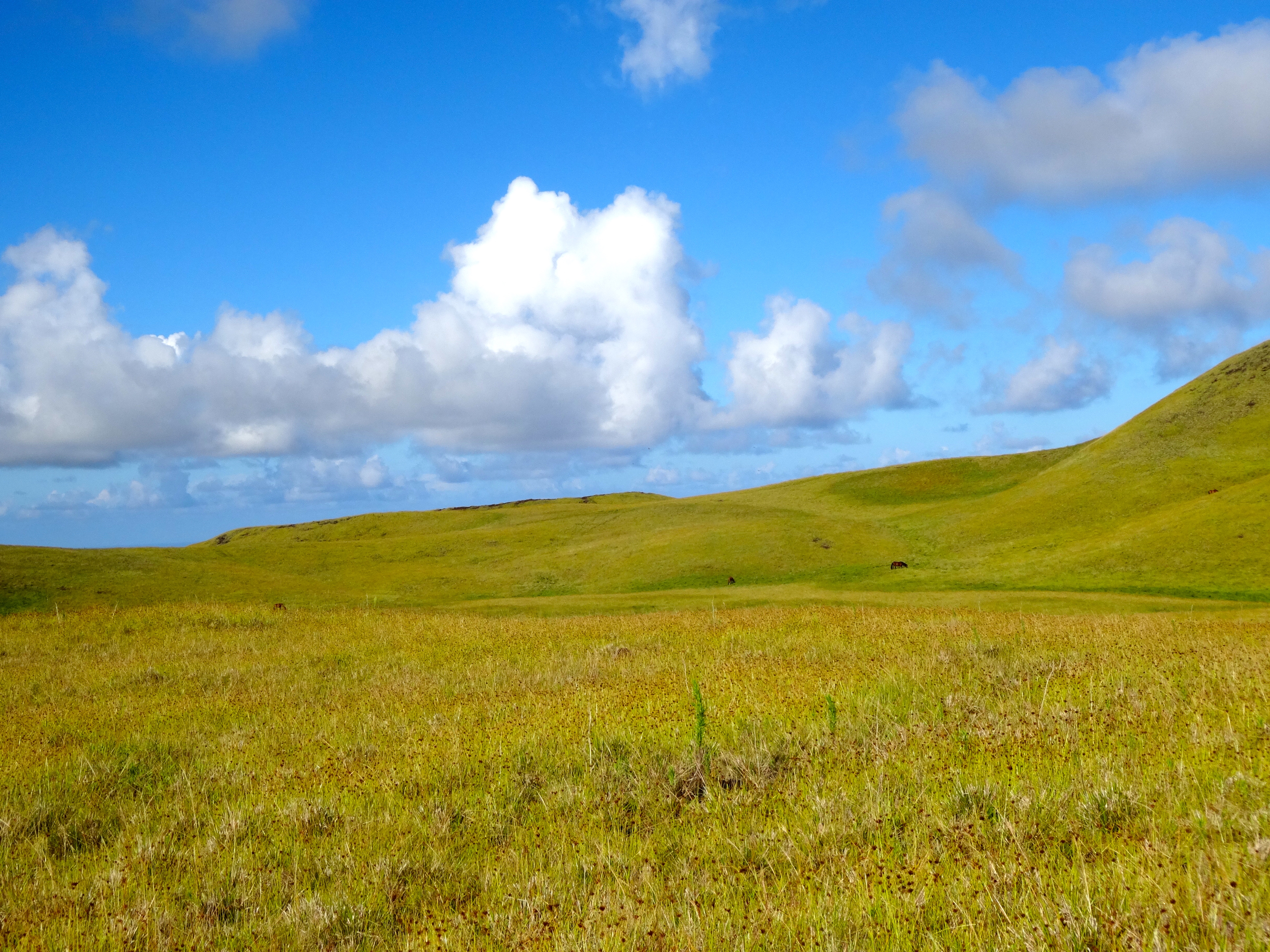
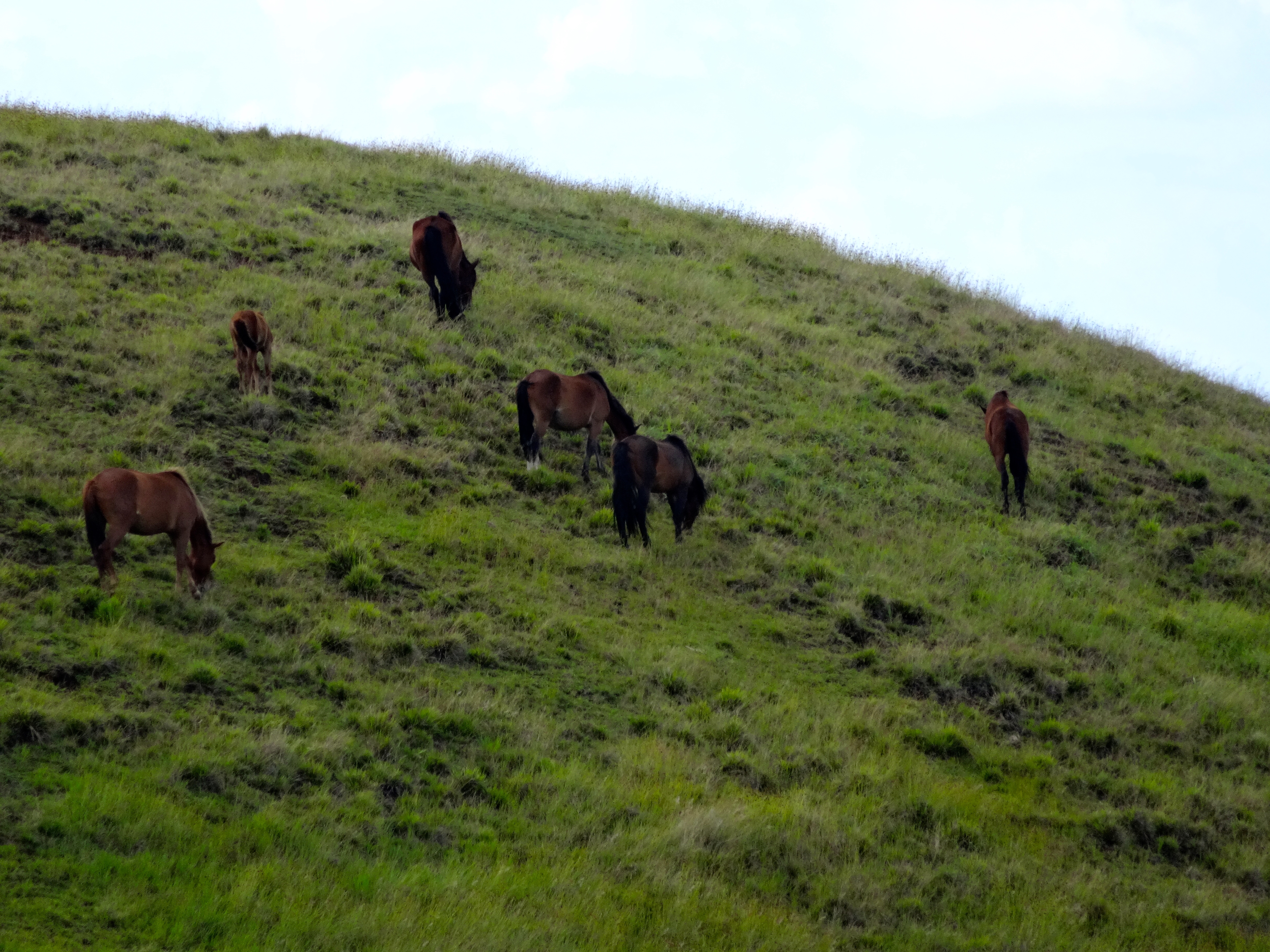
In 1722 when european explorers came to the island there were only 2,000 inhabitants. The population suffered further decline until 1877 where only 111 people remained. The name Easter Island was given to is because it was discovered by the Dutch on Easter in 1722. Wild horses roam freely all over the island (see pictures).