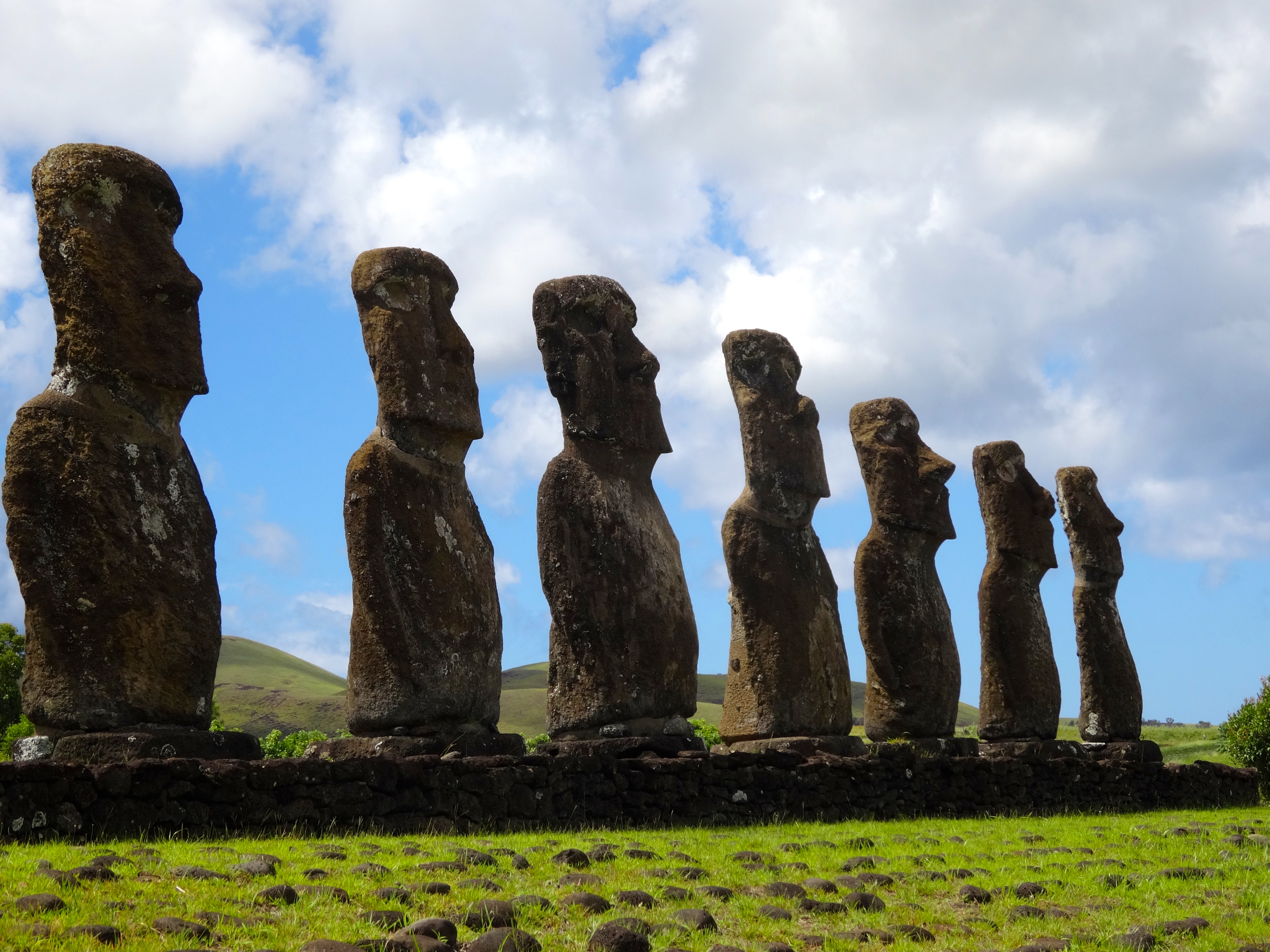
Also known as Papa Nui, this is quite a mystical island. This place is as distinct as any place on earth; it is as if the island appeared from somewhere out of this world. Easter Island is located approximately 2,000 miles from the western coast of Chile. It is quite hard to reach. This isolation is why the mo’ai
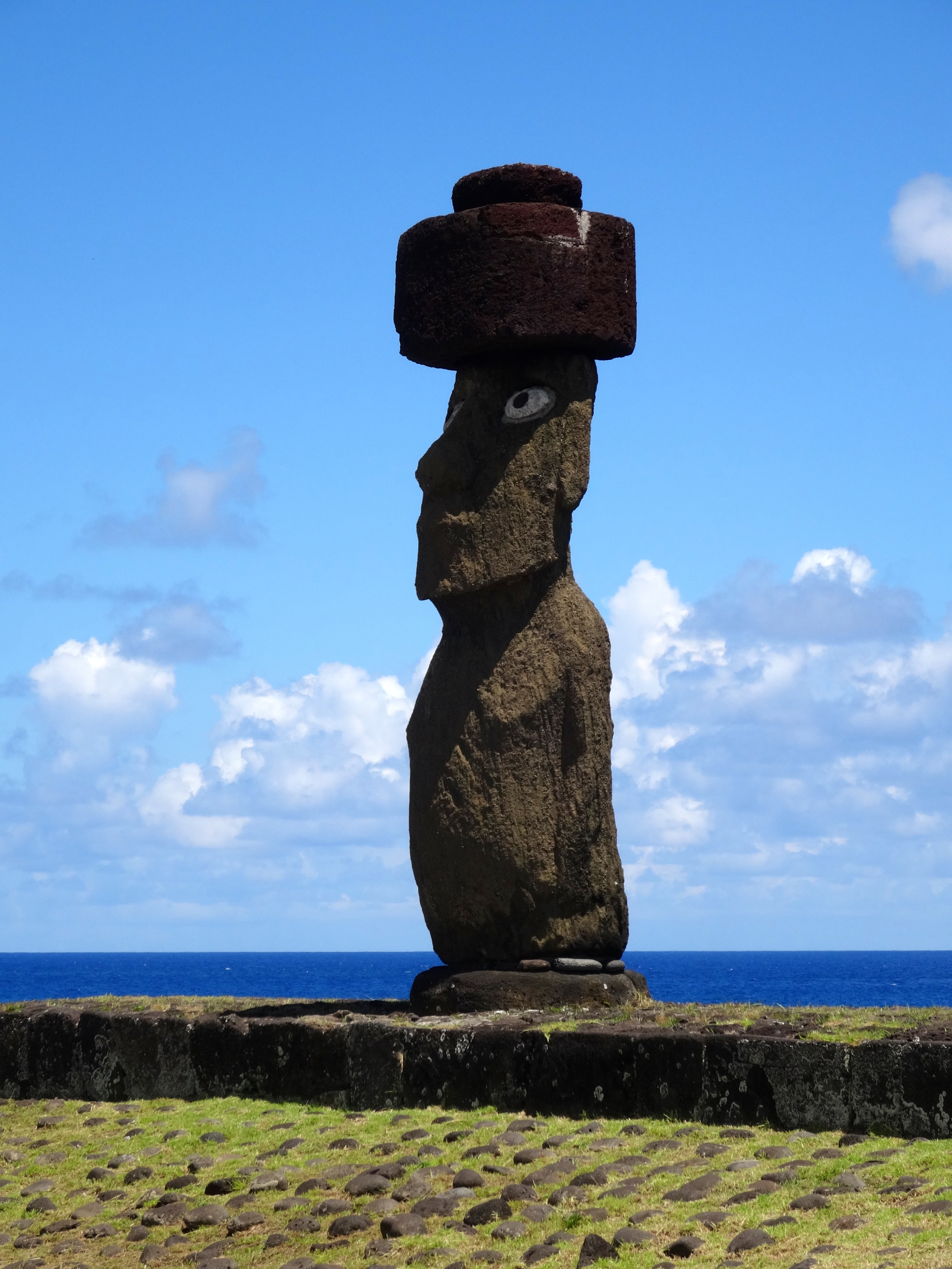
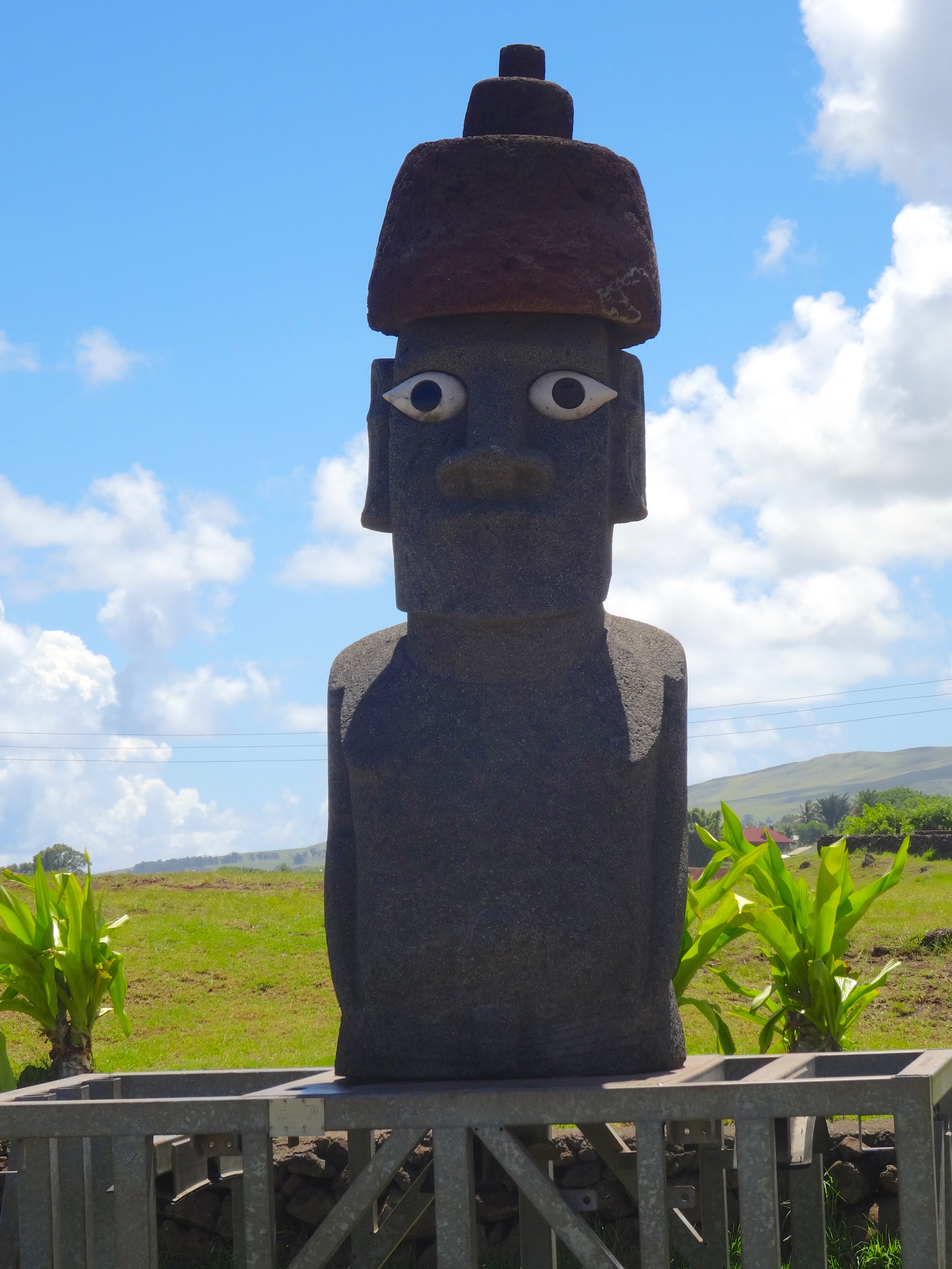
(pronounced mo i) giant rock sculptures made of volcanic rock, survived. These mo’ai statues are between 1,250 and 1,500 years old. Some weigh as much as 85 tons and stand 30 feet tall. There are 887 such statues on the island.
Today much of the island is a protected UNESCO World Heritage site. The Polynesian people settled here in the first millennium. They estimate that at one time the tiny island sustained nearly 15,000 people. However, overpopulation and the introduction of the Polynesian Rat resulted in the gradual and complete deforestation of the entire island. This event then led to the decline of the Rapa Nui civilization.
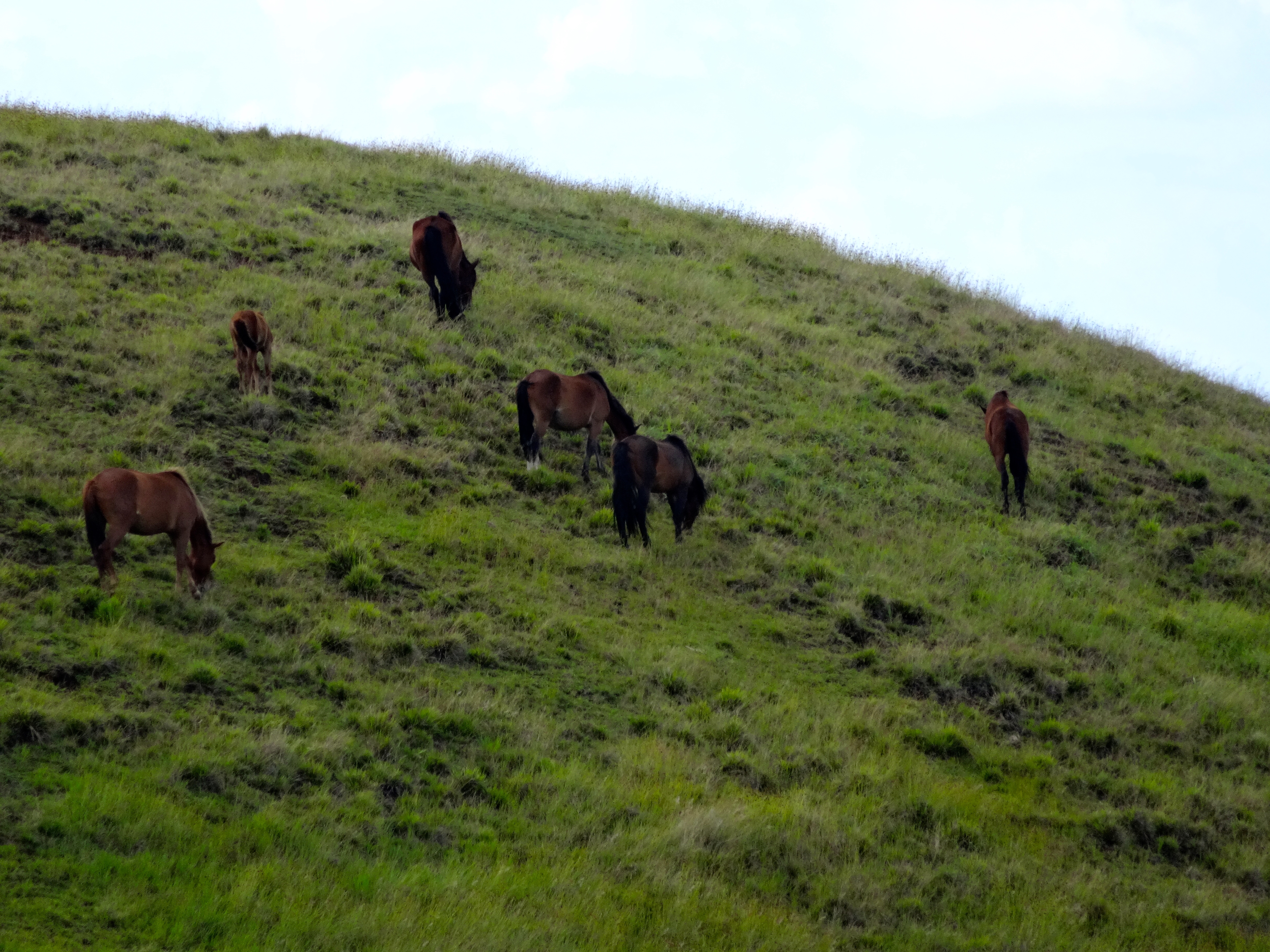
In 1722 when european explorers came to the island there were only 2,000 inhabitants. The population suffered further decline until 1877 where only 111 people remained. The name Easter Island was given to is because it was discovered by the Dutch on Easter in 1722. Wild horses roam freely all over the island (see pictures).
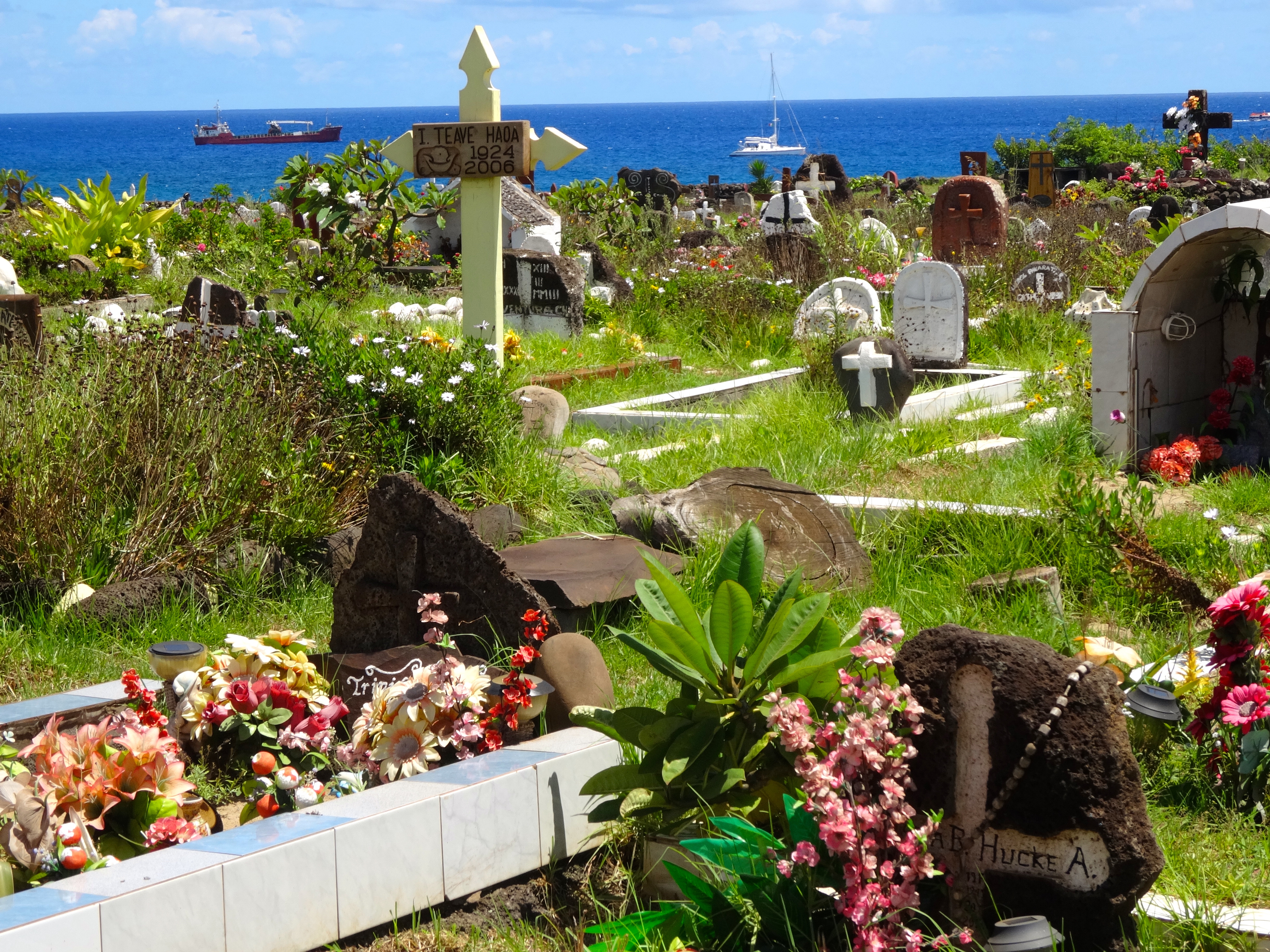
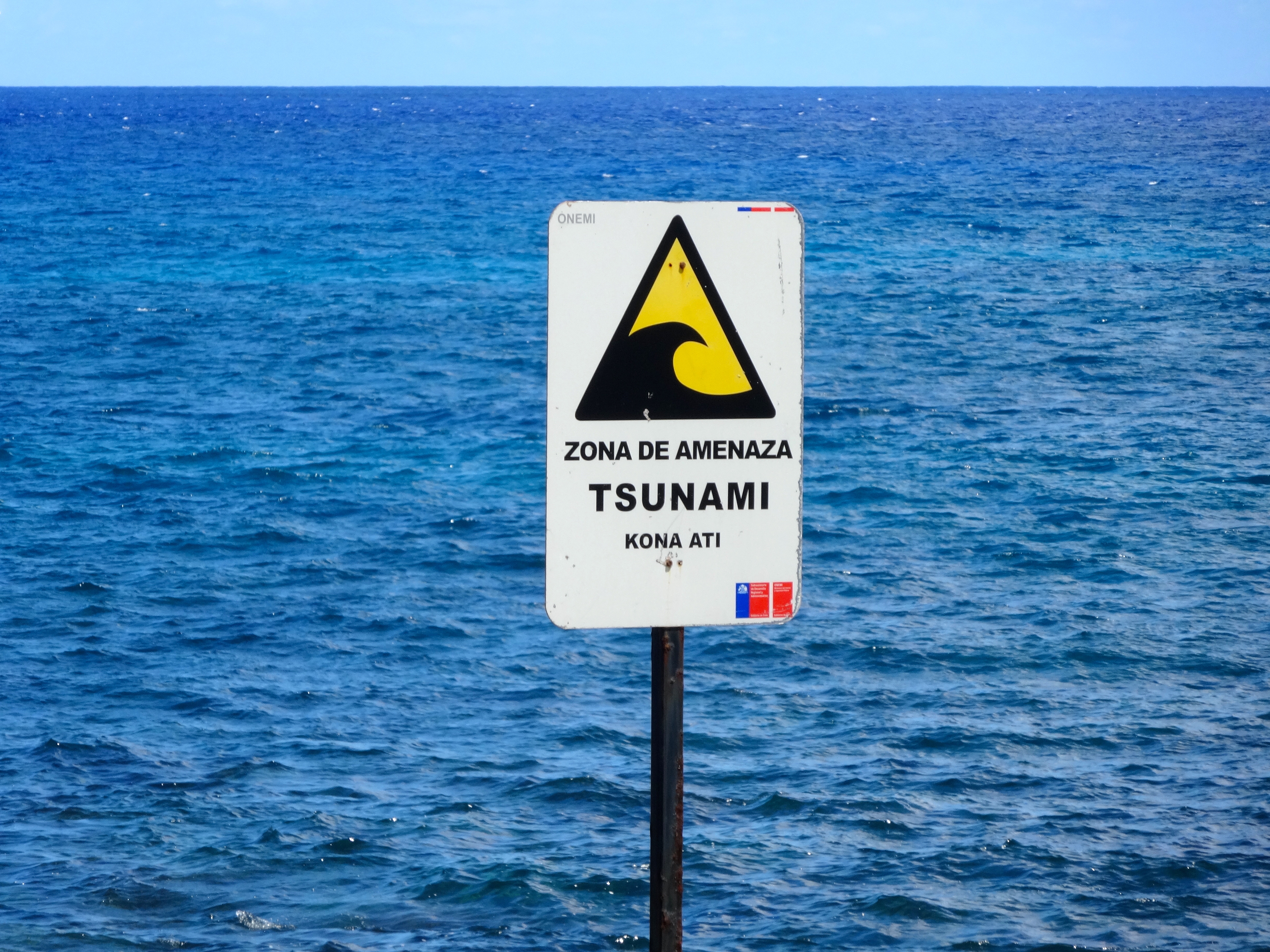
Seaside boneyard. Very floral.Large single Mo’ai near shorelineMo’ai near shorelineFor real. The Mo’ai near shoreline were all taken down and washed hundreds of yards inland by a giant tsunami in 1915.
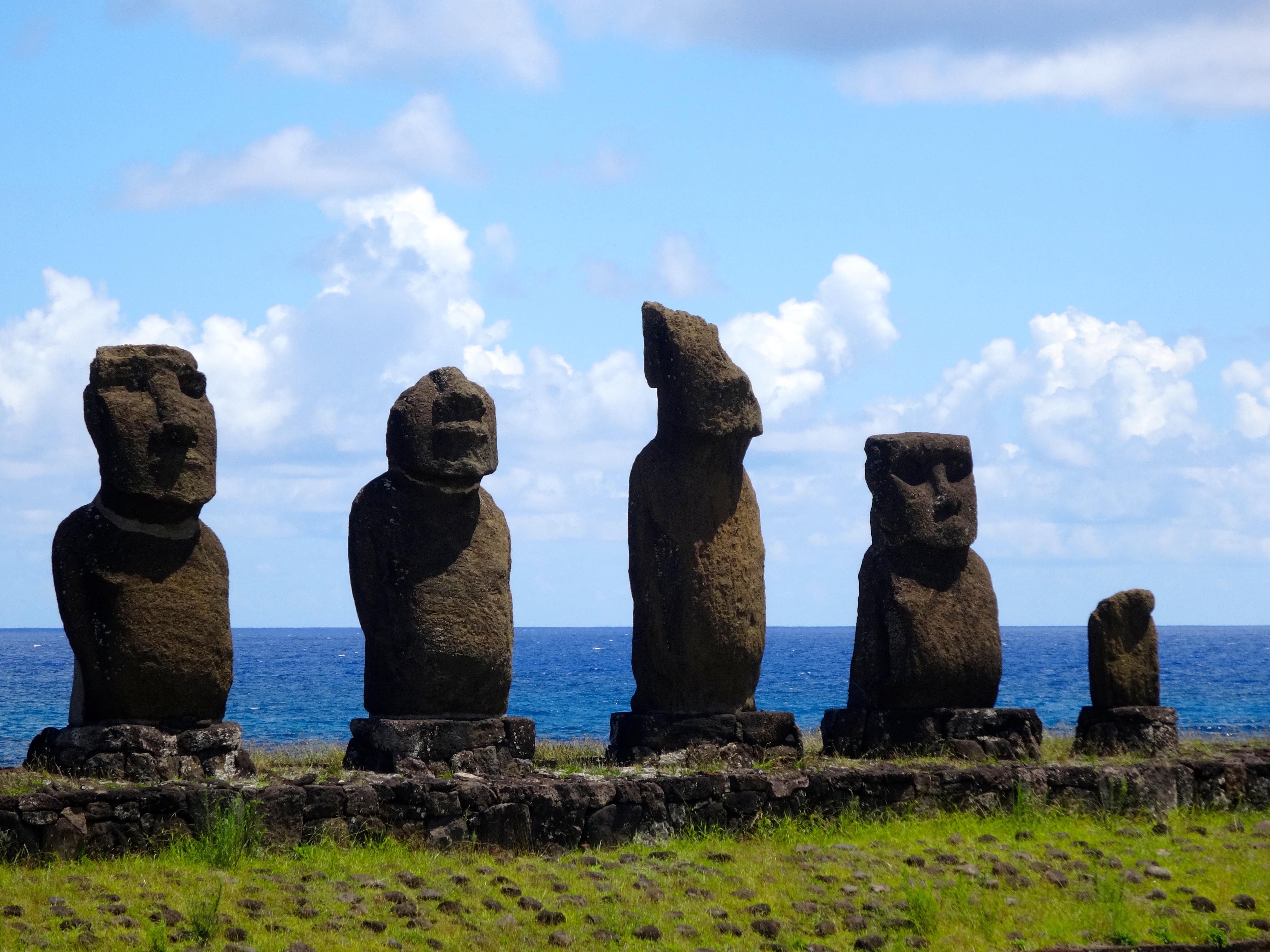
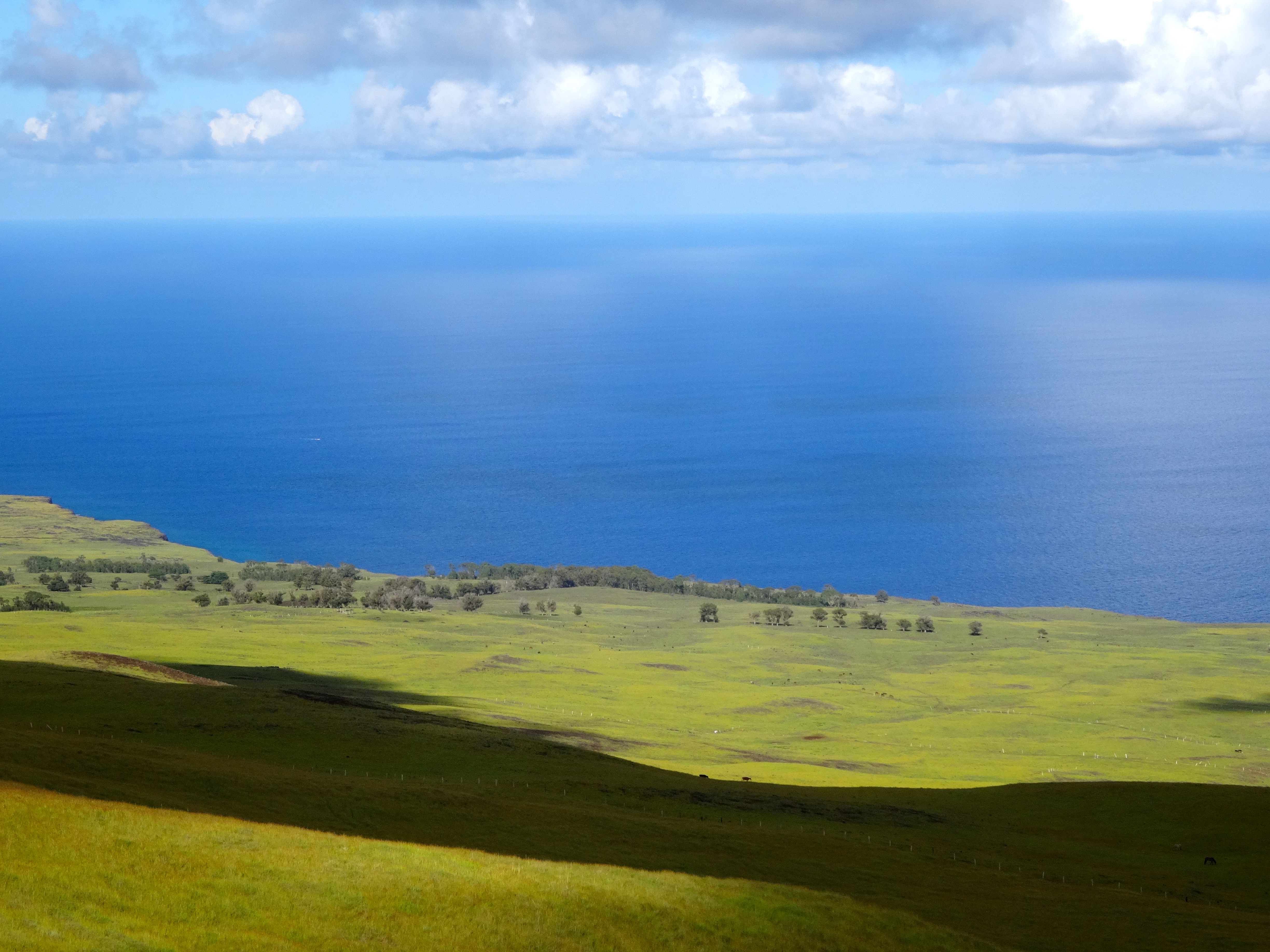
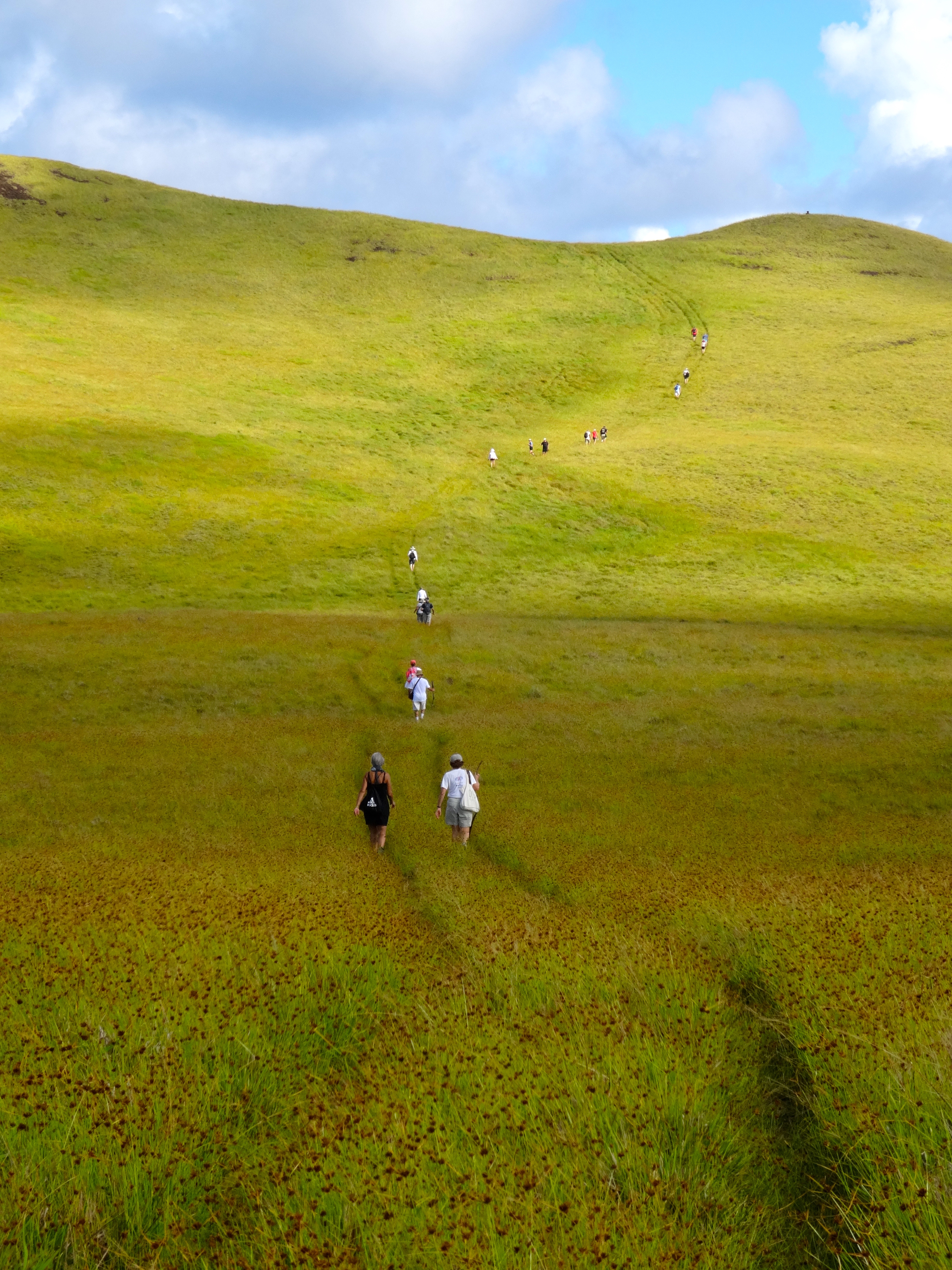
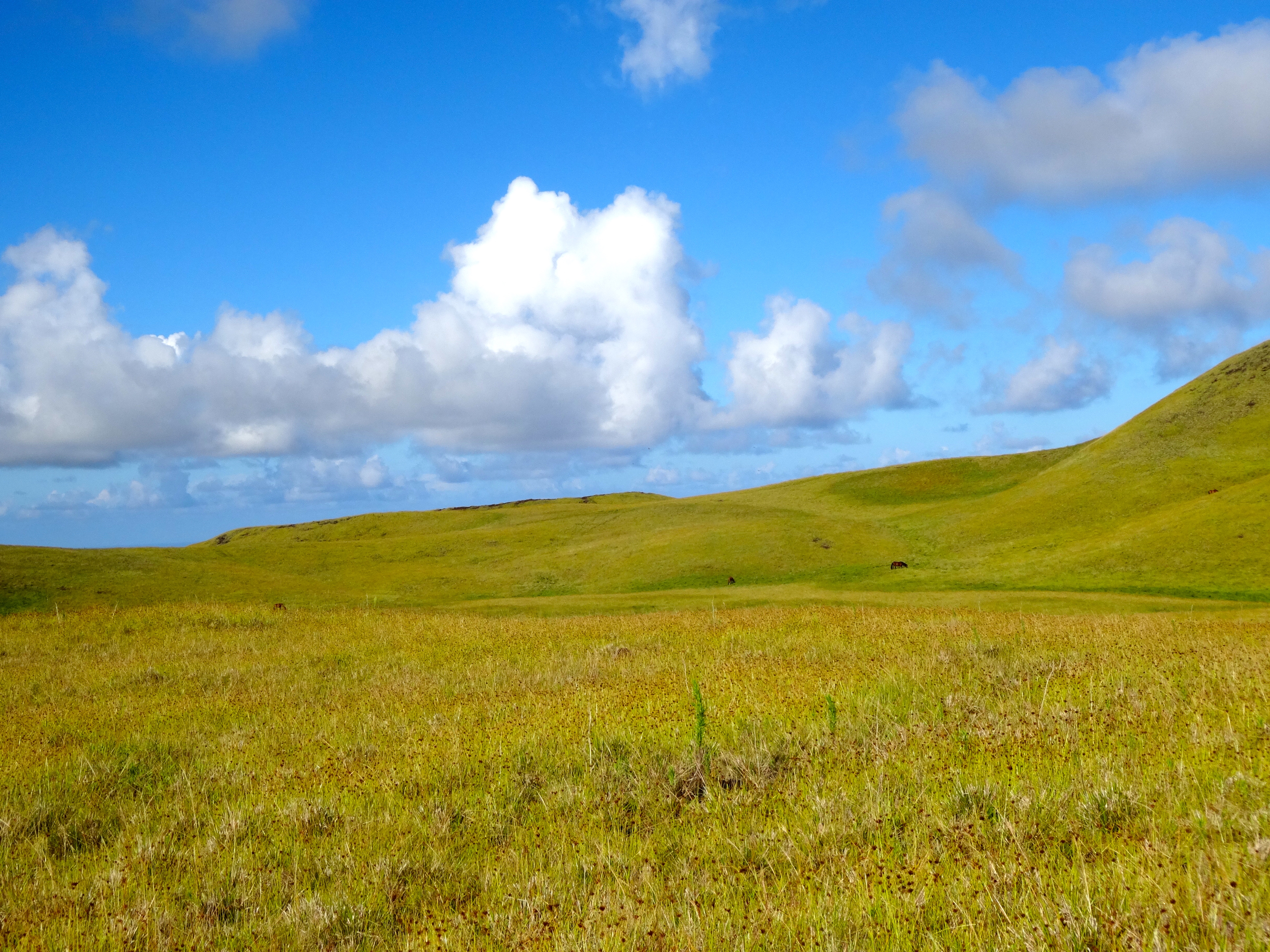
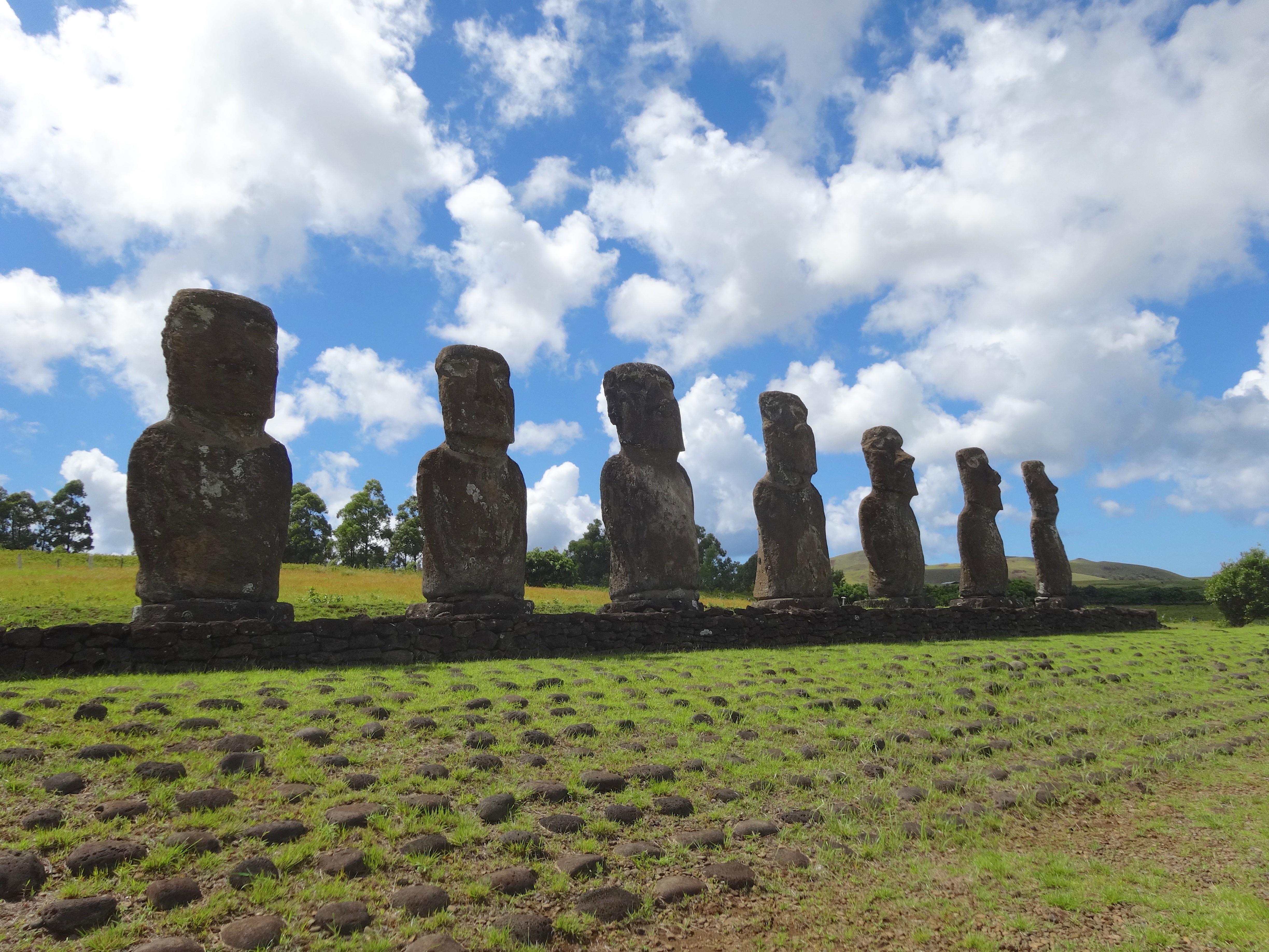
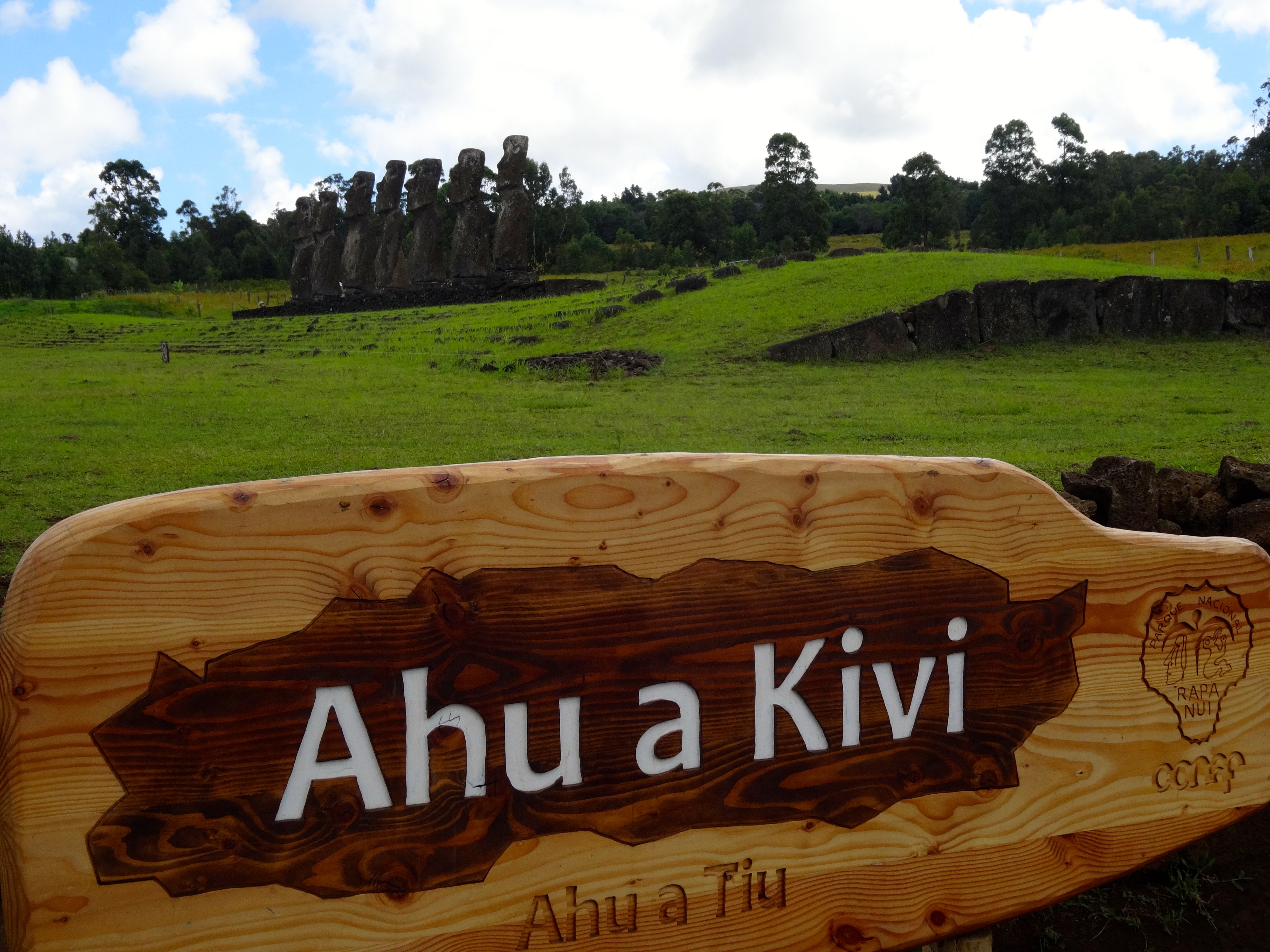
Group of 7 giant statuesMore signs of the once deforested landscape.Trekking up to the summit of Trevaka Mountain. Approx 2,000 feet above the ocean.Yet more proof of deforested landscape.
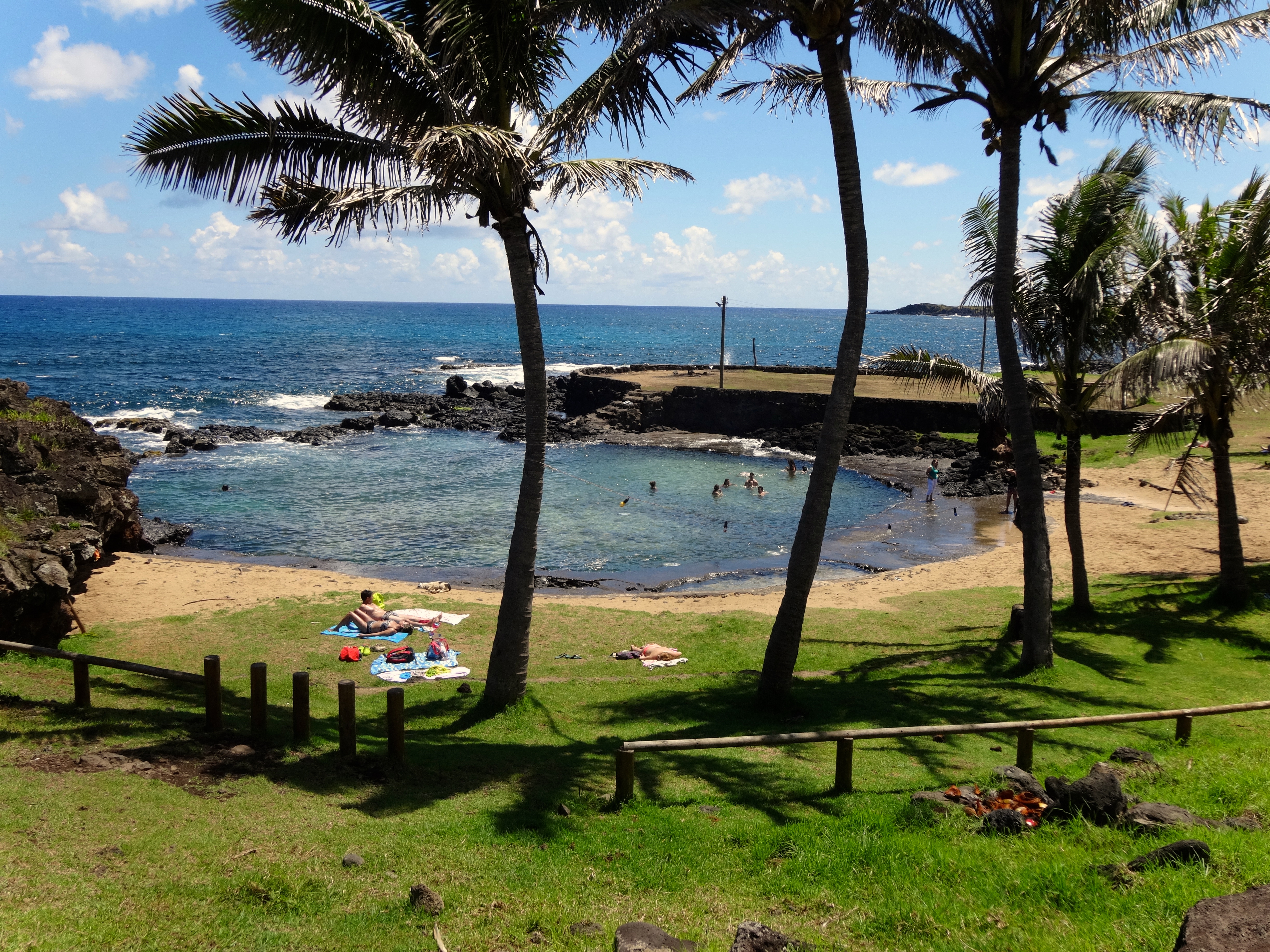
Public little swim beach enjoyed by locals.This mo’ai has eyes
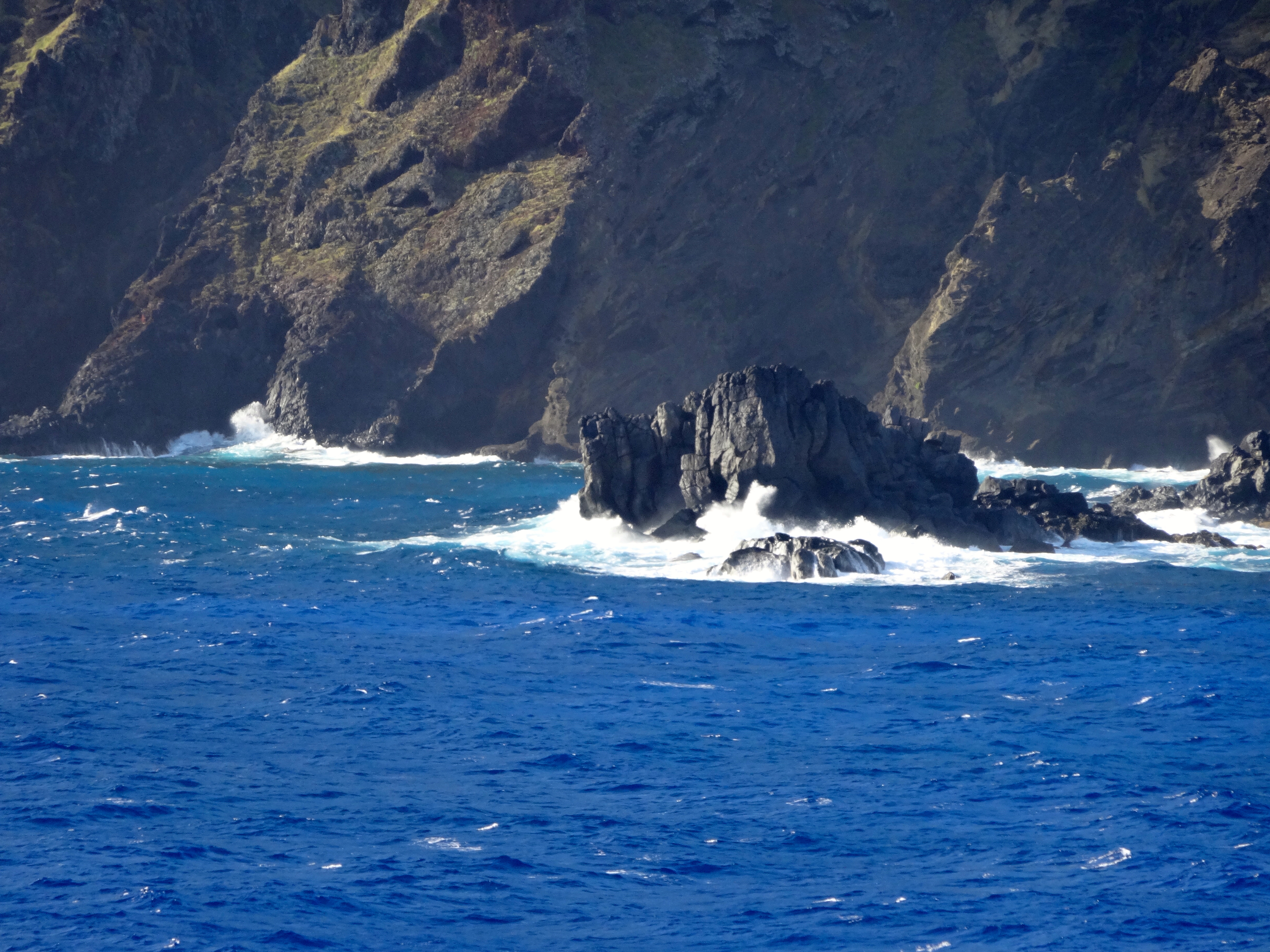
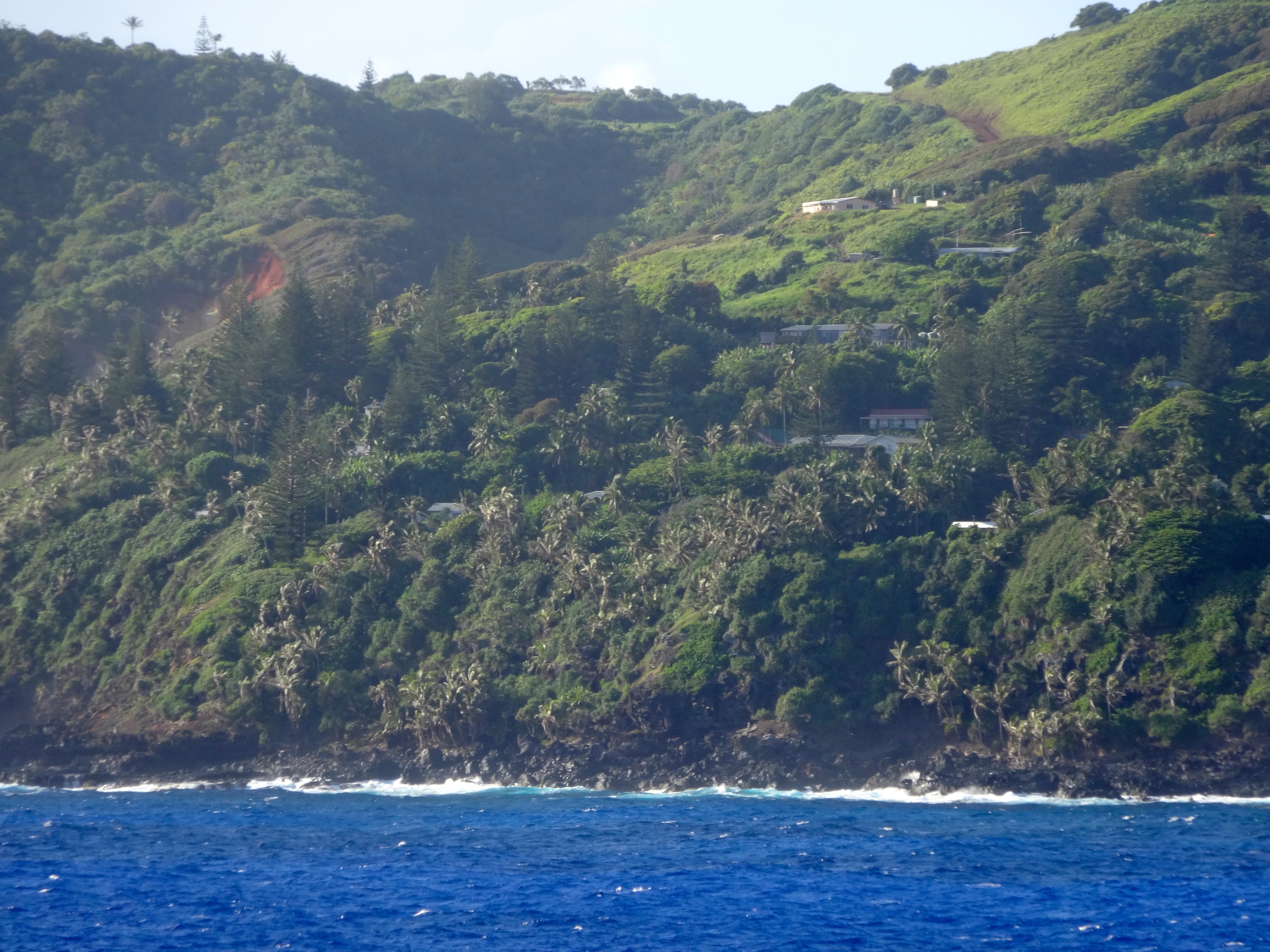
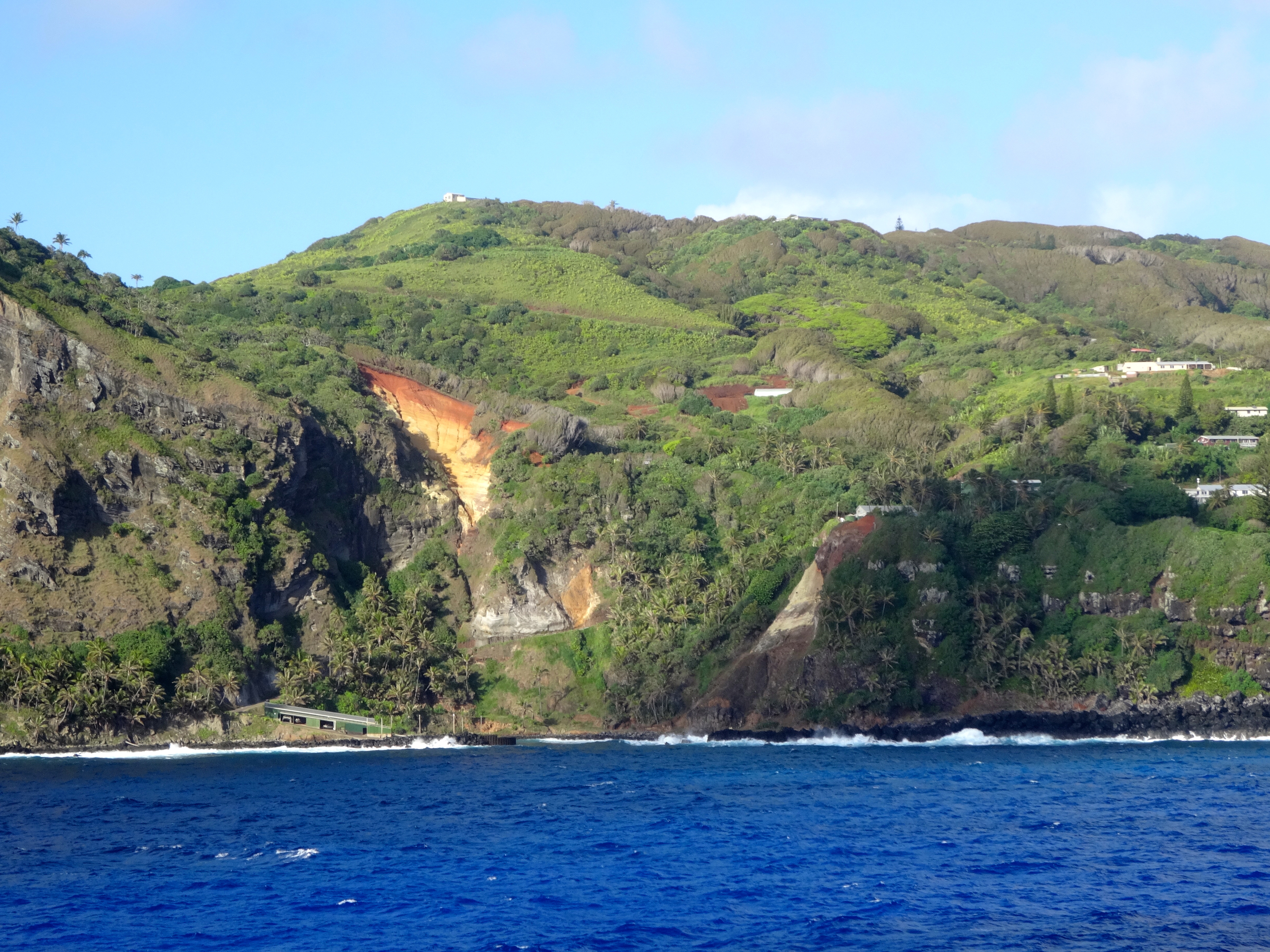
Ocean swells preventing me from making landfall.You can see the houses built on the “Road of Difficulty.” Aptly named as everything must go up.See the face in the rocks?The potential landing spot.The entire island is only 18 square miles. That’s 3×6 miles.The entire island is unprotected from the open ocean.
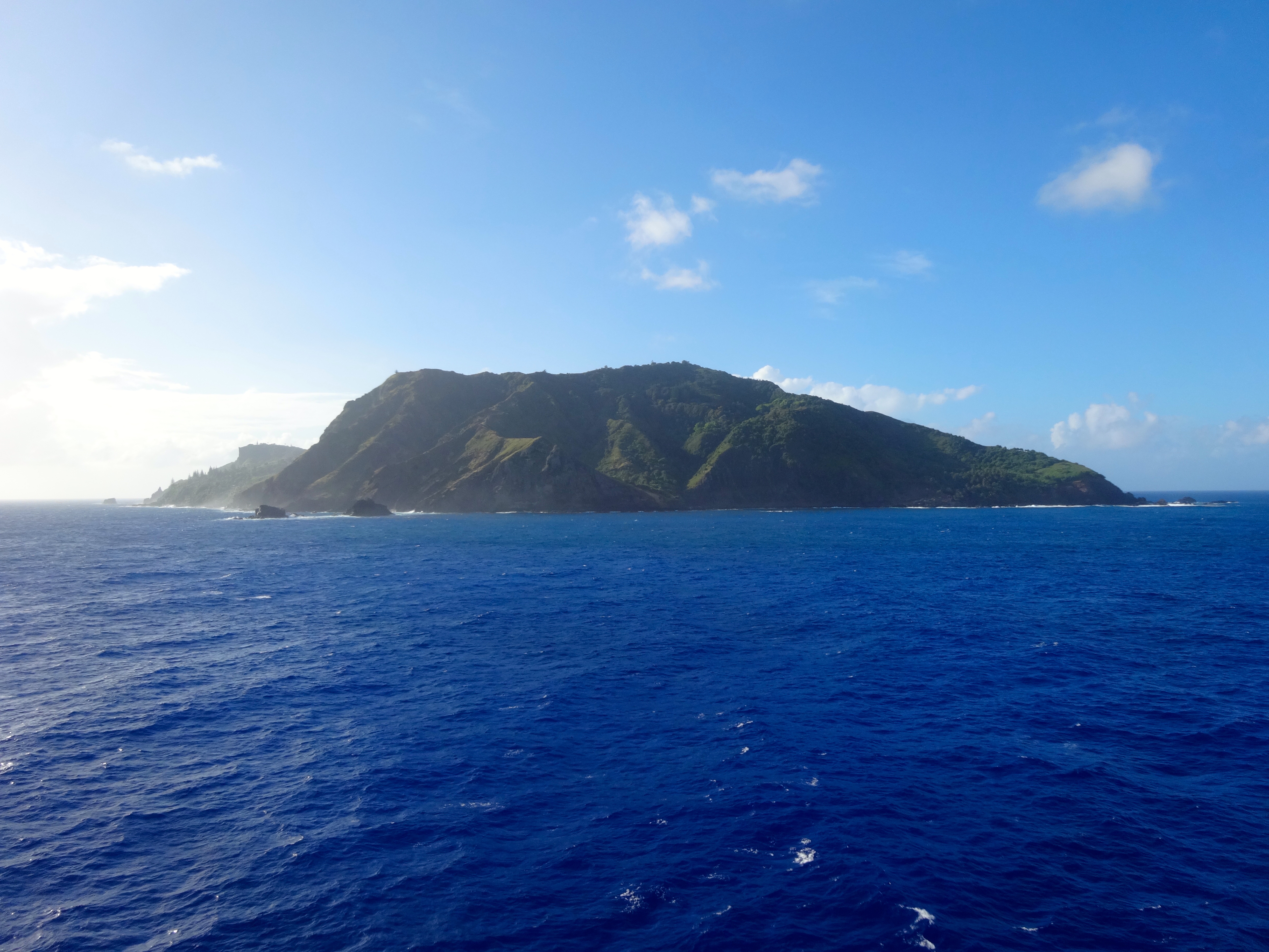
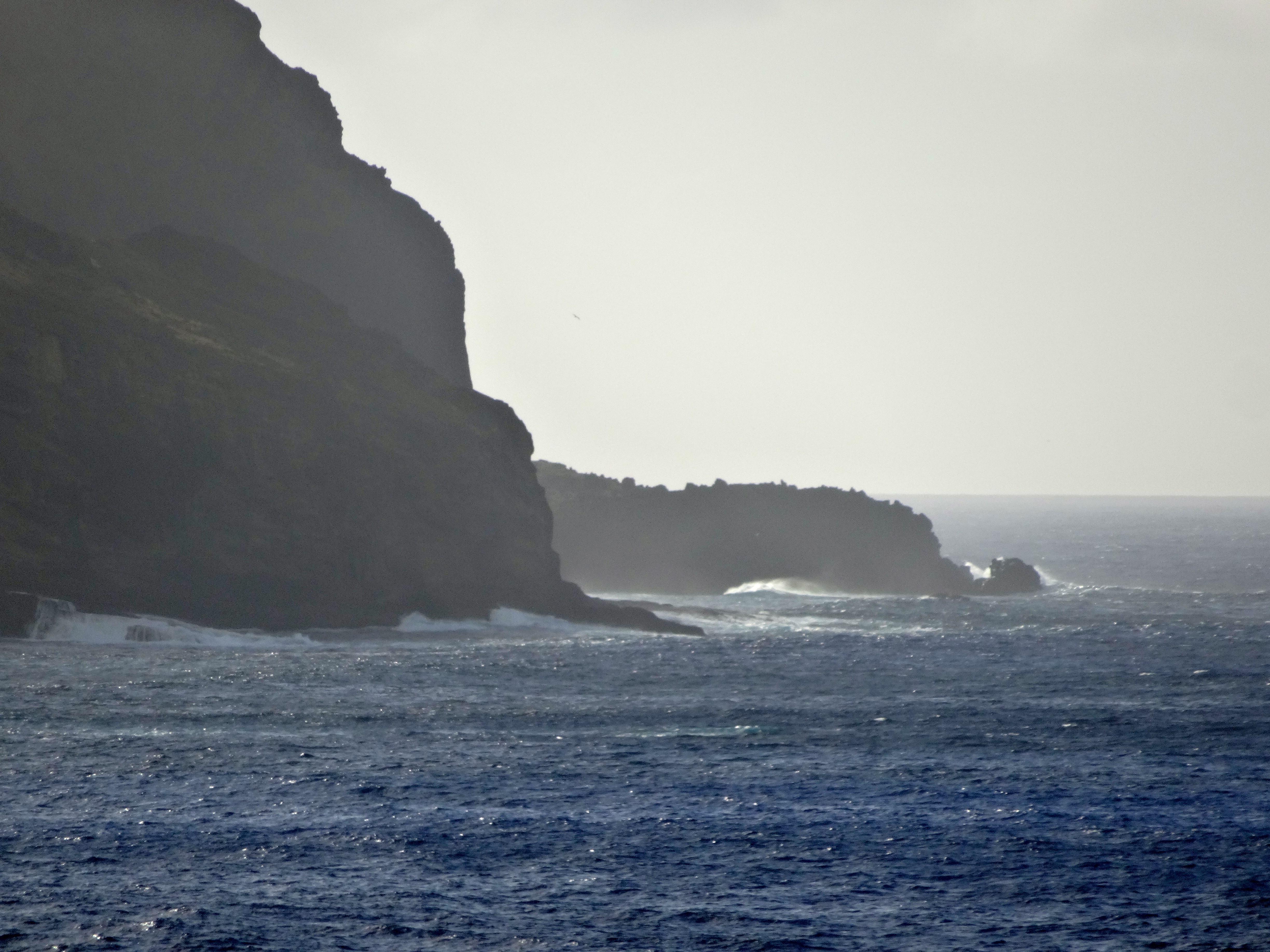
Pitcairn Island is not for everyone. However if you were a fan of the book or movie “Mutiny on the Bounty,” please read on. Pitcairn is one of the remotest of all of the world’s inhabited islands, lying just halfway between New Zealand and the Americas. 4,800 KMs separate Pitcairn from everything else. Just a few archipelagos lie to the north; and the southern seas are empty until you reach Antartica.
Here’s were it gets really fascinating. The Island is inhabited only by the decedents of the Bounty mutineers and a few Tahitians. The total number is only 56. The history is still apparent in the surnames of these people. With only 56 inhabitants, originating from only 4 main families, Pitcairn is the least populous national jurisdiction in the world.
The Island has artifacts demonstrating that is may have had inhabitants before the mutineers landed and settled there in 1790. The tale of the mutiny of the British tall ship Bounty, which then let to the founding of Pitcairn is well known. All which needs to be mentioned here is from Tahiti with a cargo of breadfruit trees for planting in the West Indies, the captain’s mate Fletcher Christian, and others mutinied. Casting adrift the Commander, Lieutenant William Bligh, and 18 other officers loyal to Bligh. They were set adrift in the Bounty’s small boat. The mutineers then set sail back to Tahiti. (Bligh made it back to England to file charges against the mutineers.)
Their relations with the Tahitians soon deteriorated and, fearing discovery and arrest for the act of mutiny, 8 of the mutineers set sail with Fletcher Christian in search of an uninhabited island from where they could hide from the rest of the world. To help in their cause the mutineers took 6 Tahitian men and 12 women. Thus, you can imagine these guys had a pretty small gene pool. Truth is many times stranger than fiction, and in this case, for sure.
Unfortunately for me, the day we planned to make landfall the seas were far to rough. The ocean swells were 10-12 feet. Even with the help of the islander’s “longboats” it would have been far too dangerous. You know if the locals are opting out it must be bad. So I had to settle for some pics which were taken while circumnavigating around the island. Just to give you a few nautical facts as to Pitcairn’s location, it is 1,350 miles southeast of Tahiti, 4,100 miles west of Panama, and 3,300 miles from Auckland, NZ. Auckland is where their administrative headquarters are situated. Pitcairn remains the only British possession in the South Pacific.
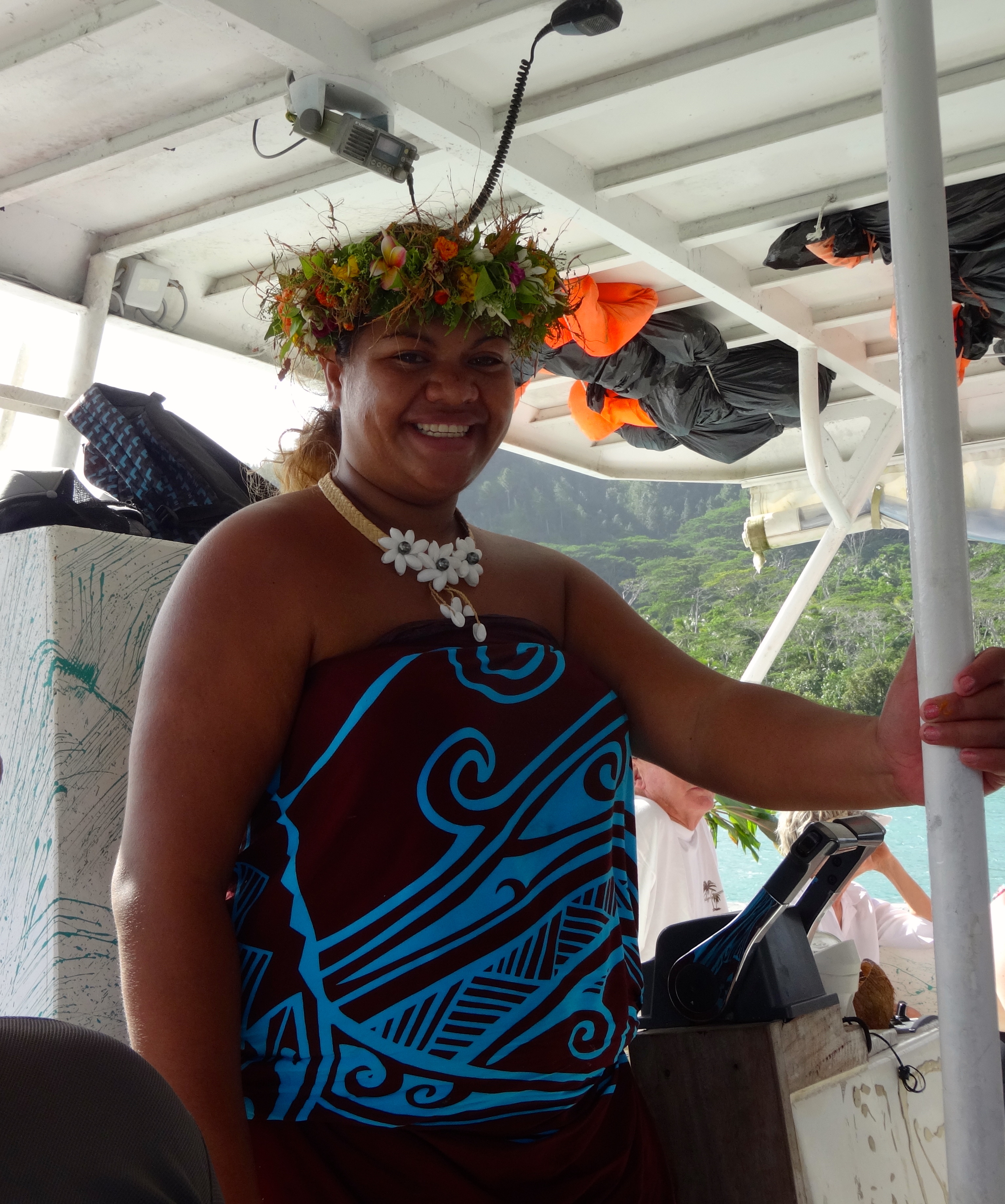
She only spoke French so hard to fully communicate. What a sweetie though. She is talking with Ona, who at her request is cropped out.This guys had a great personality. Very funny too.
Local Tahitian woman. These people seem fairly stress free.
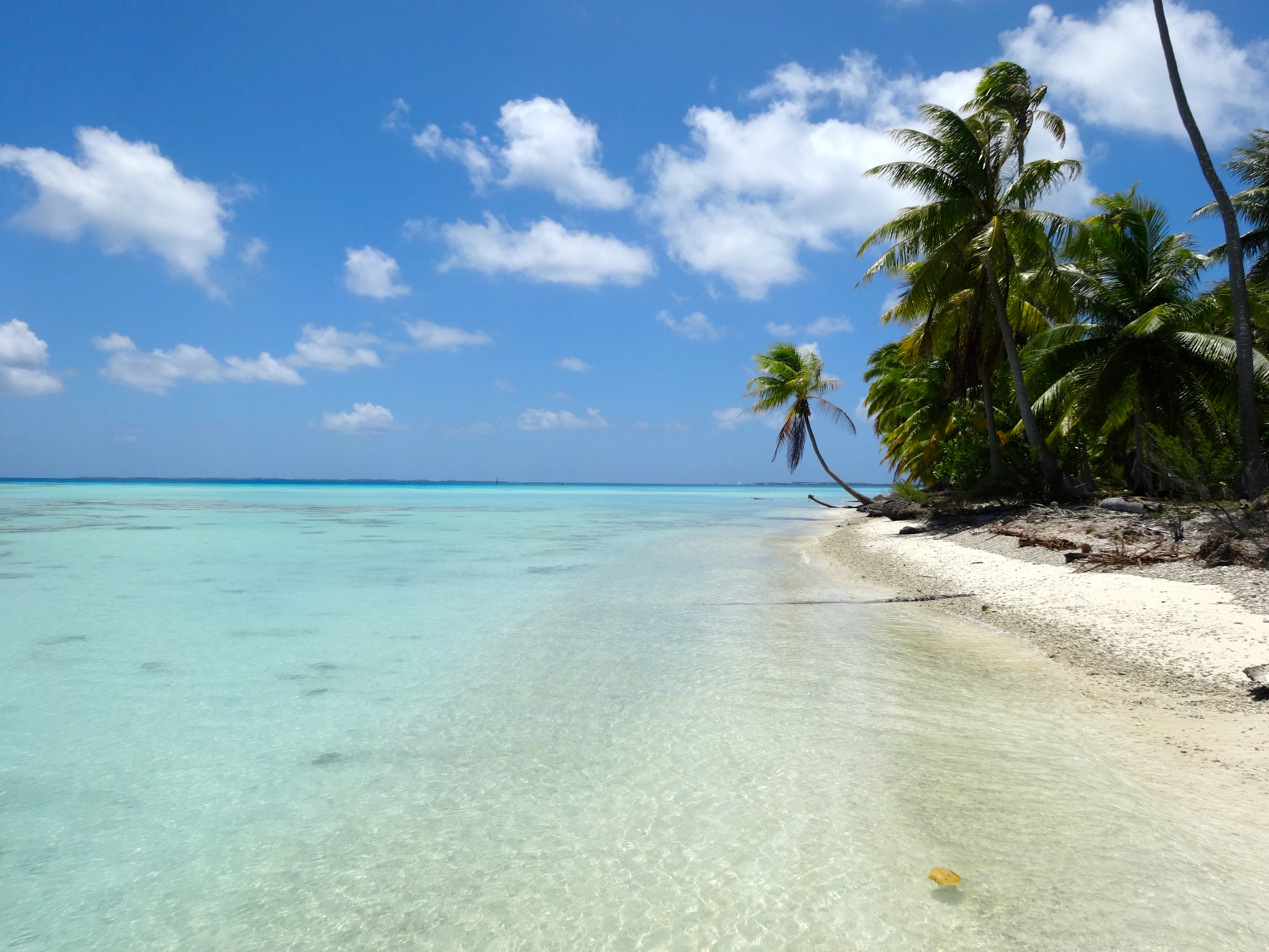
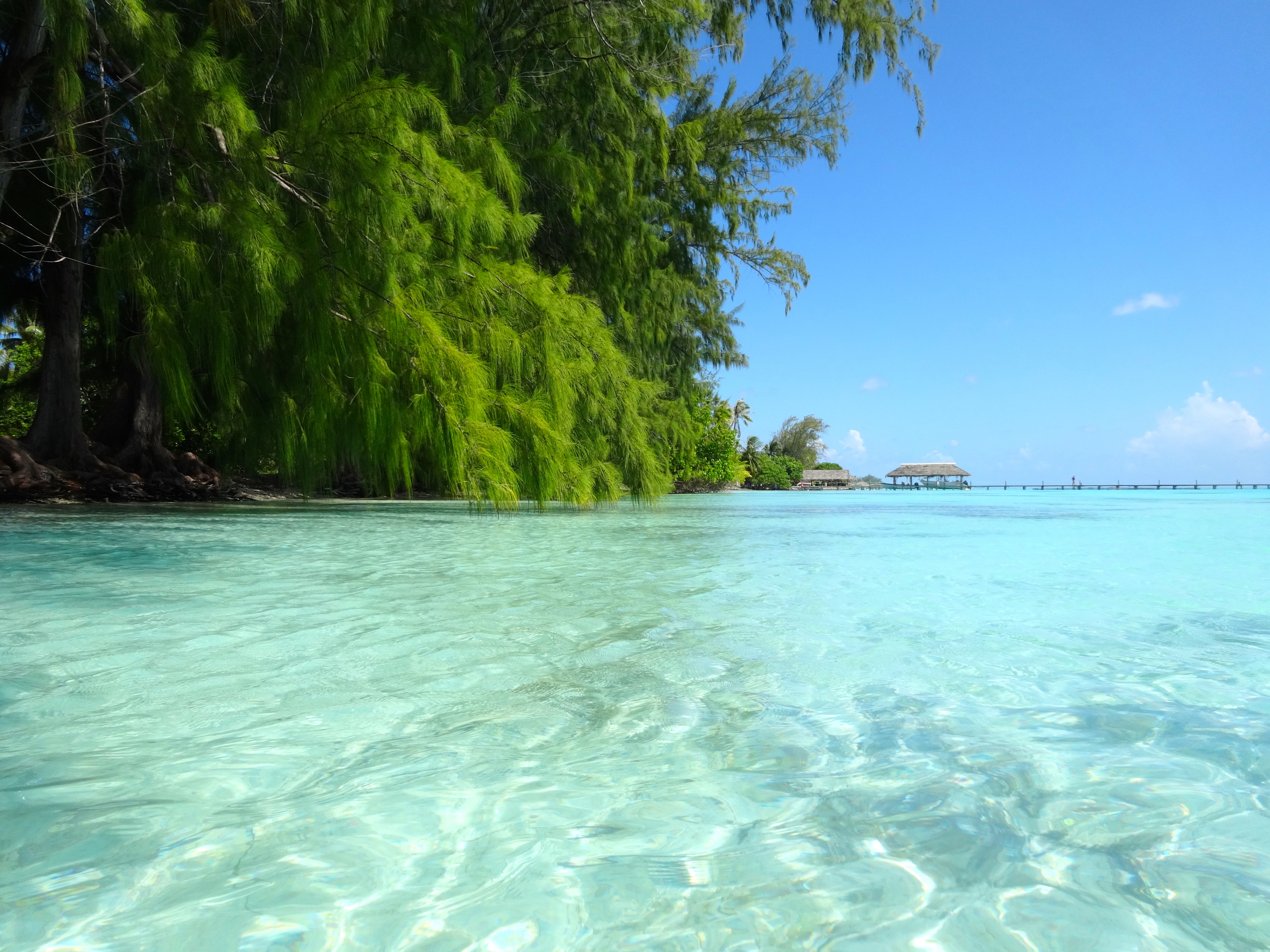
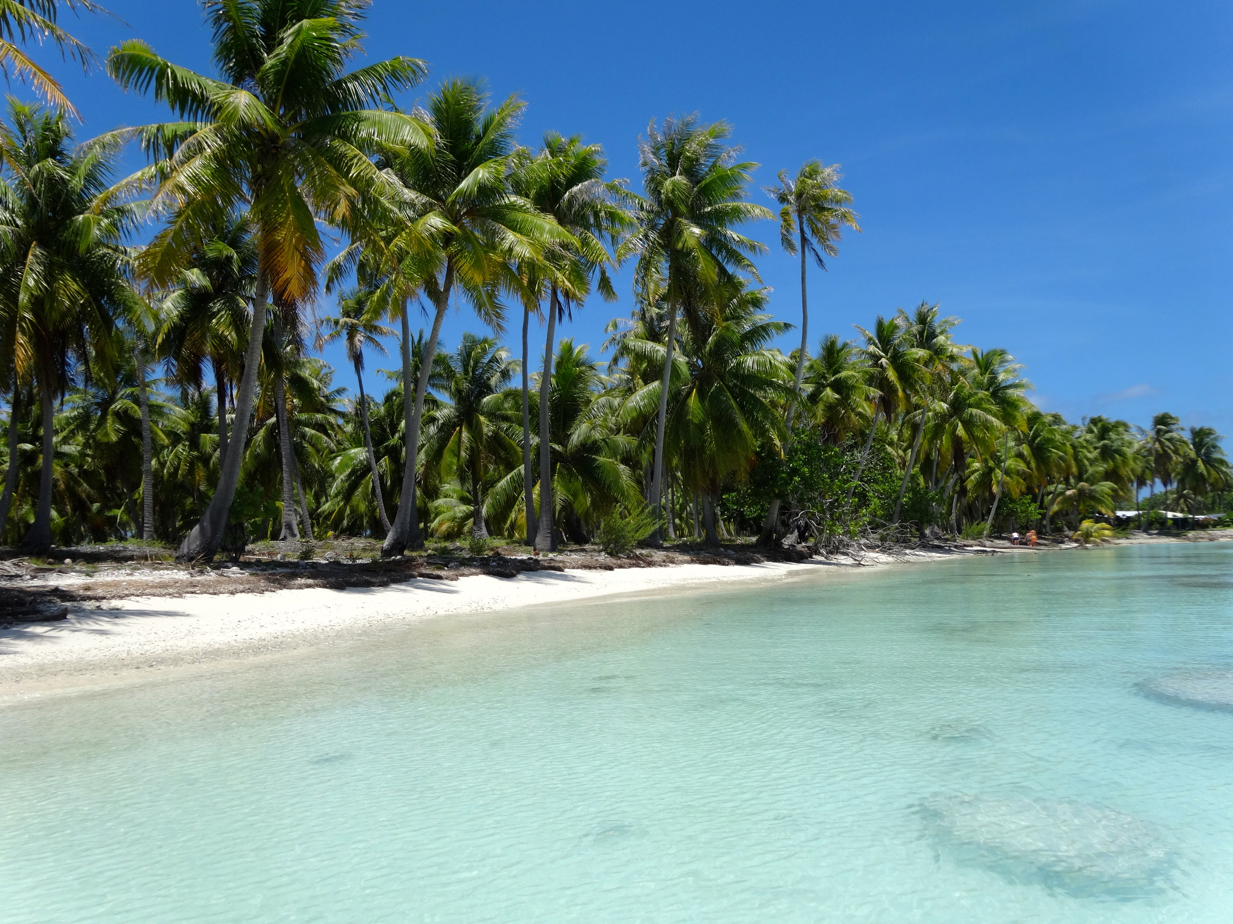
This is actually a tiny Atoll, albeit one of the largest in the island chain. It’s really the stuff of South Seas fantasy. White and pink sand beaches are the rule here. Only 3,000 inhabitants enjoy this beautiful idyllic place. Bikes are the best way to get around. The entire place is a Unesco-protected area.
Being such only testifies to the richness of the ecosystem of this atoll: particularly rare fauna and flora, with kingfisher hunter, the palm trees of the Tuamotu and, in the lagoons, the abundant variety of shellfish.
Fabulous diving and snorkeling experiences here too. The waters contain a high concentration of pelagic fauna and fishes such as barracudas, hammerhead sharks and tiger sharks. After being in the water with these animals you do develop a certain comfort level, but always have an elevated awareness around you.
This is a pretty magical place. Check out the pics. You just keep shooting them, the atoll seems to get more beautiful as you spend time here.
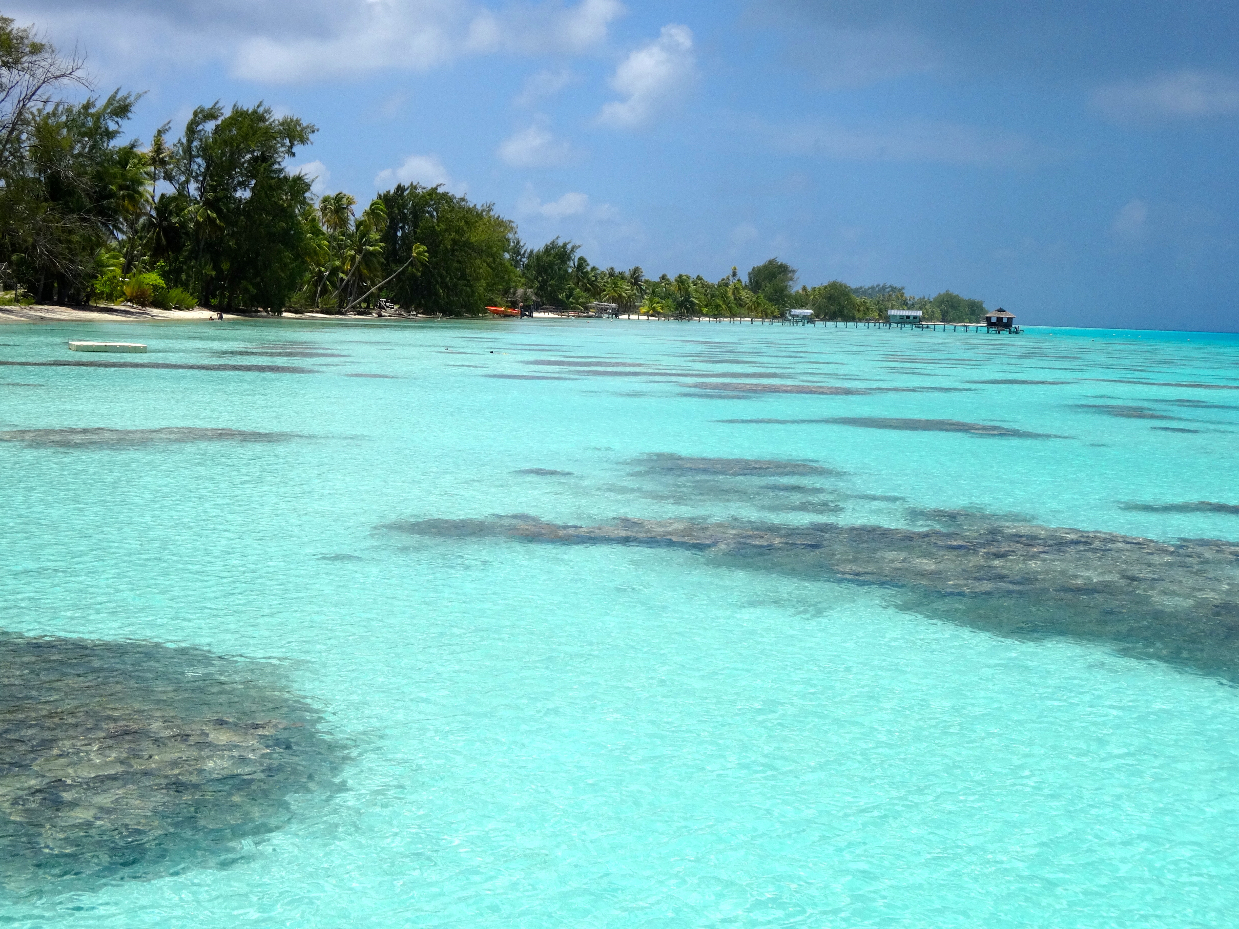
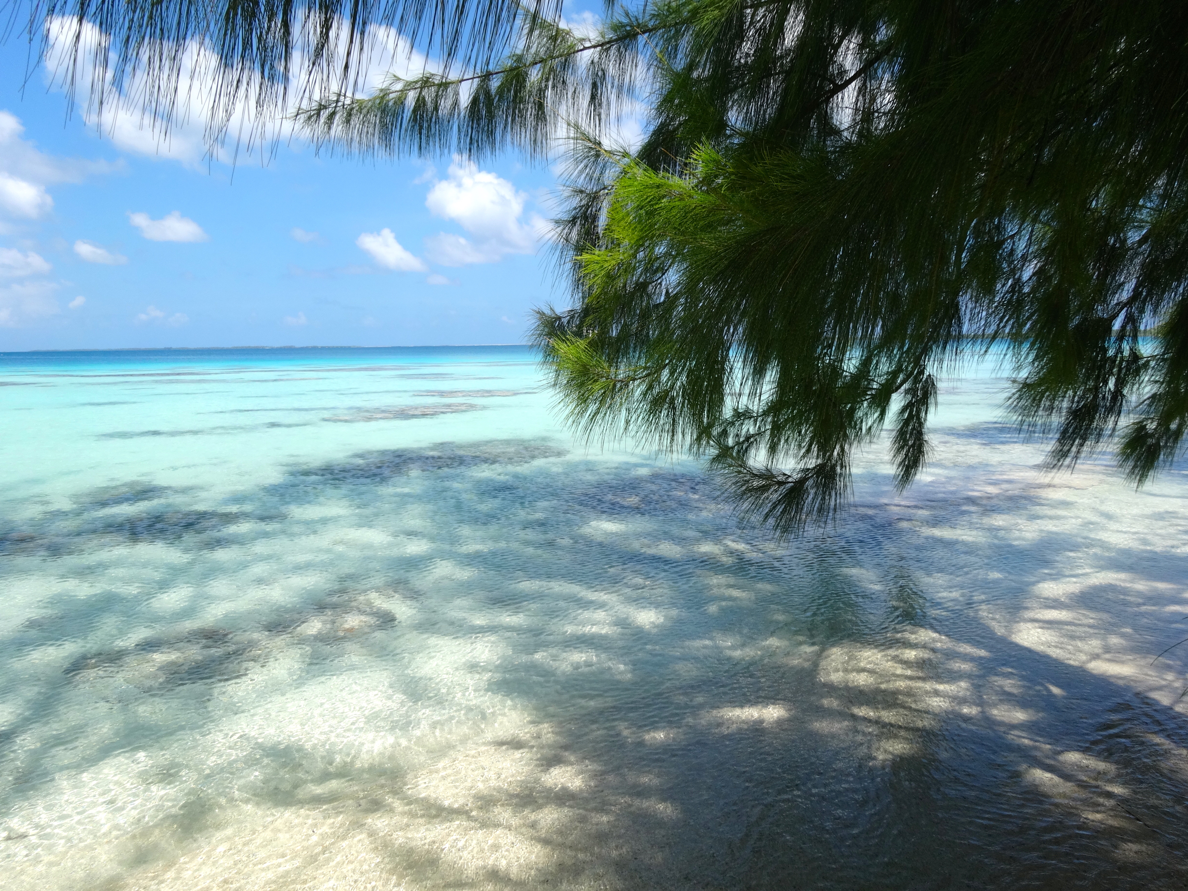
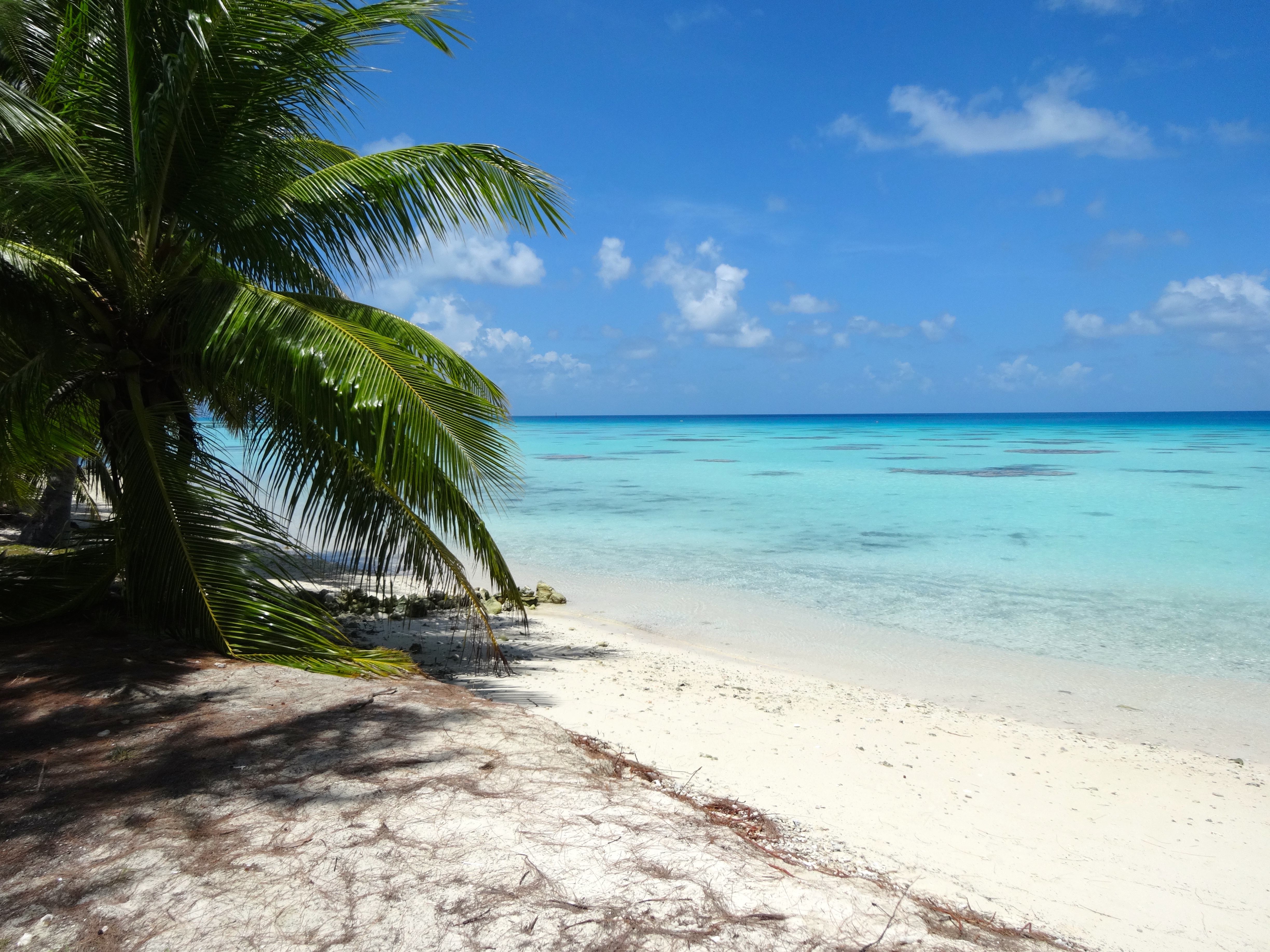
Miles of this. Amazing!Snorkel and just soak site #2.
Snorkel site #1. Fish mostly around the coral reefsFairly typical beach here.
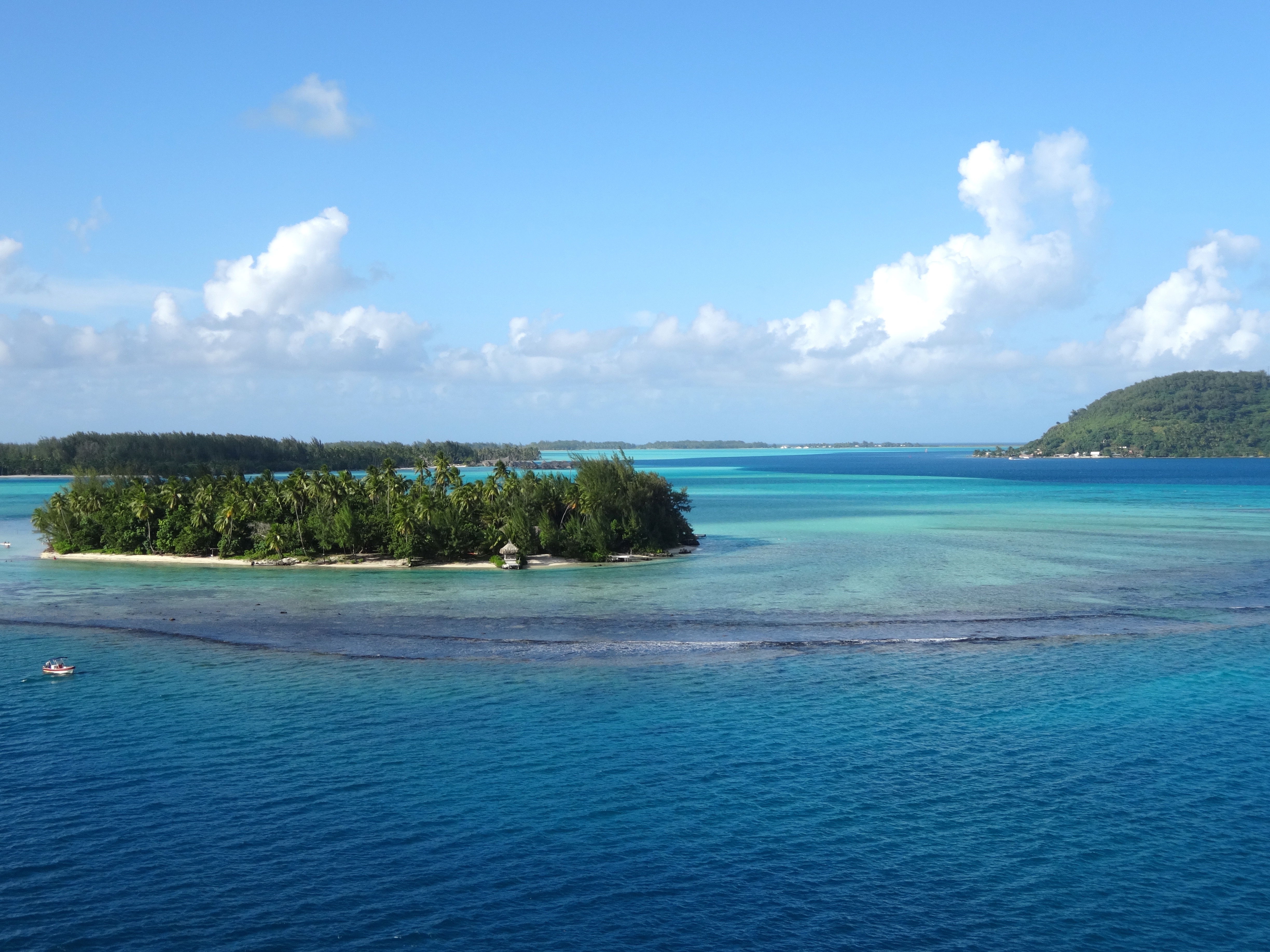
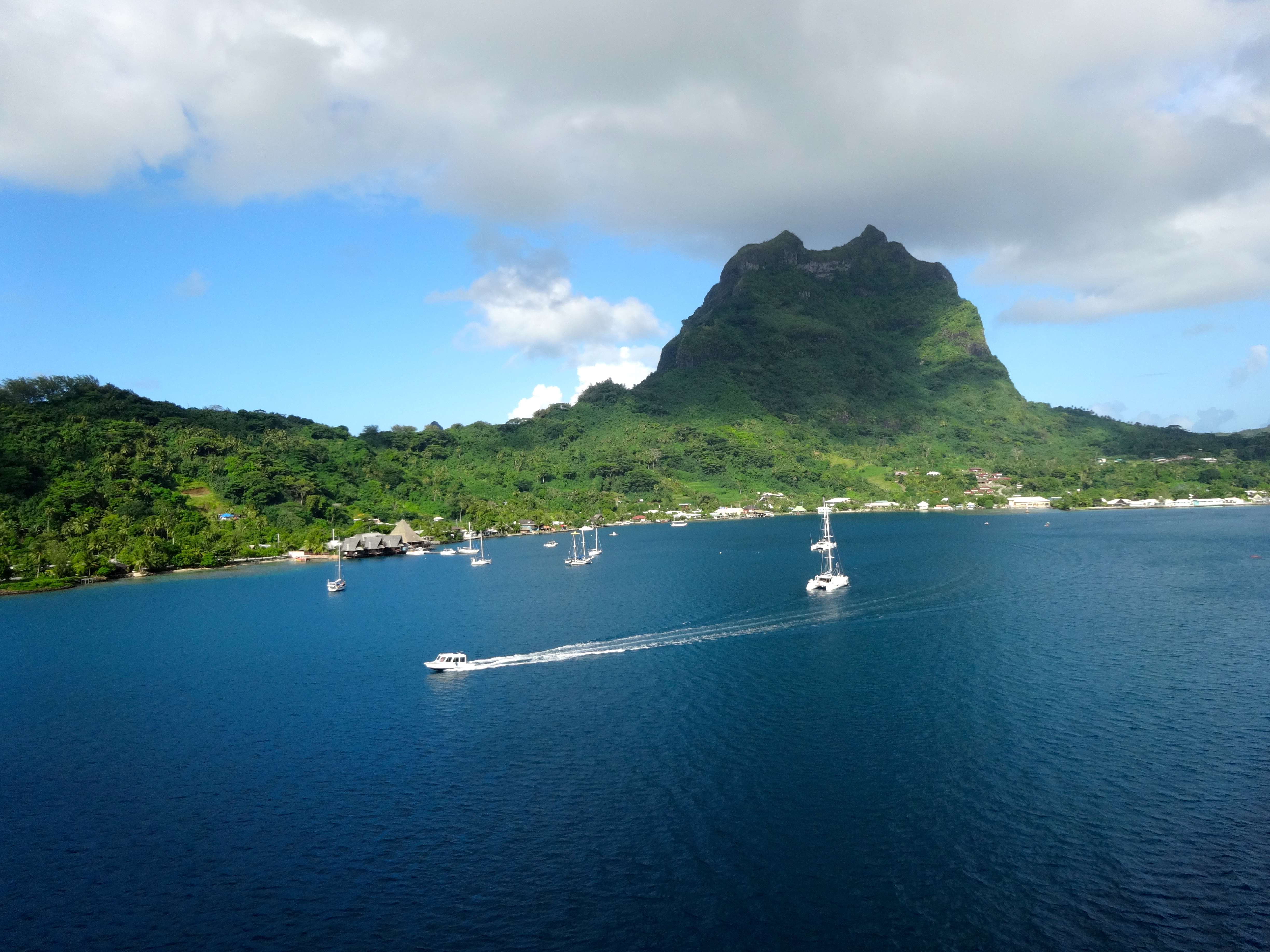
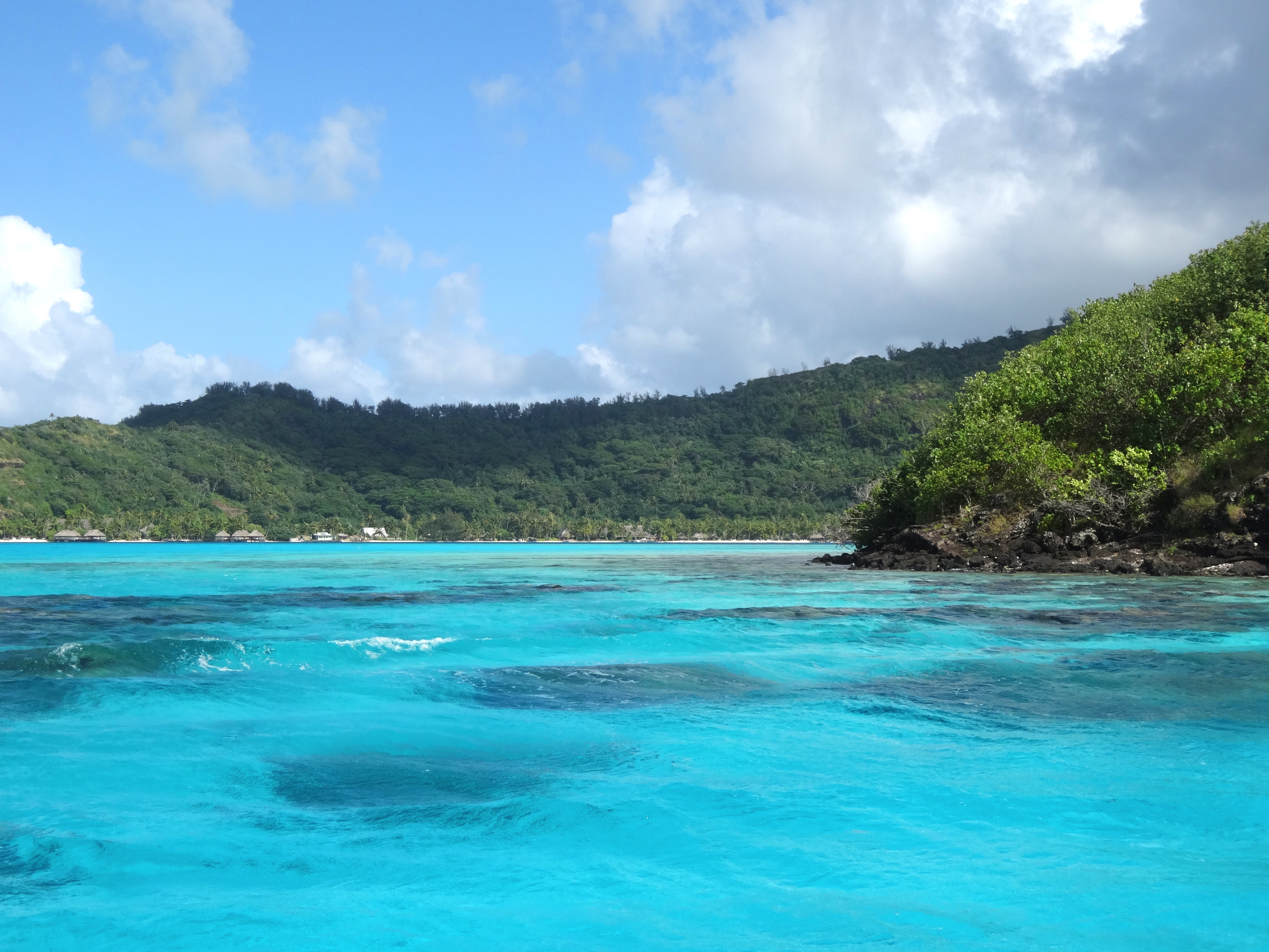
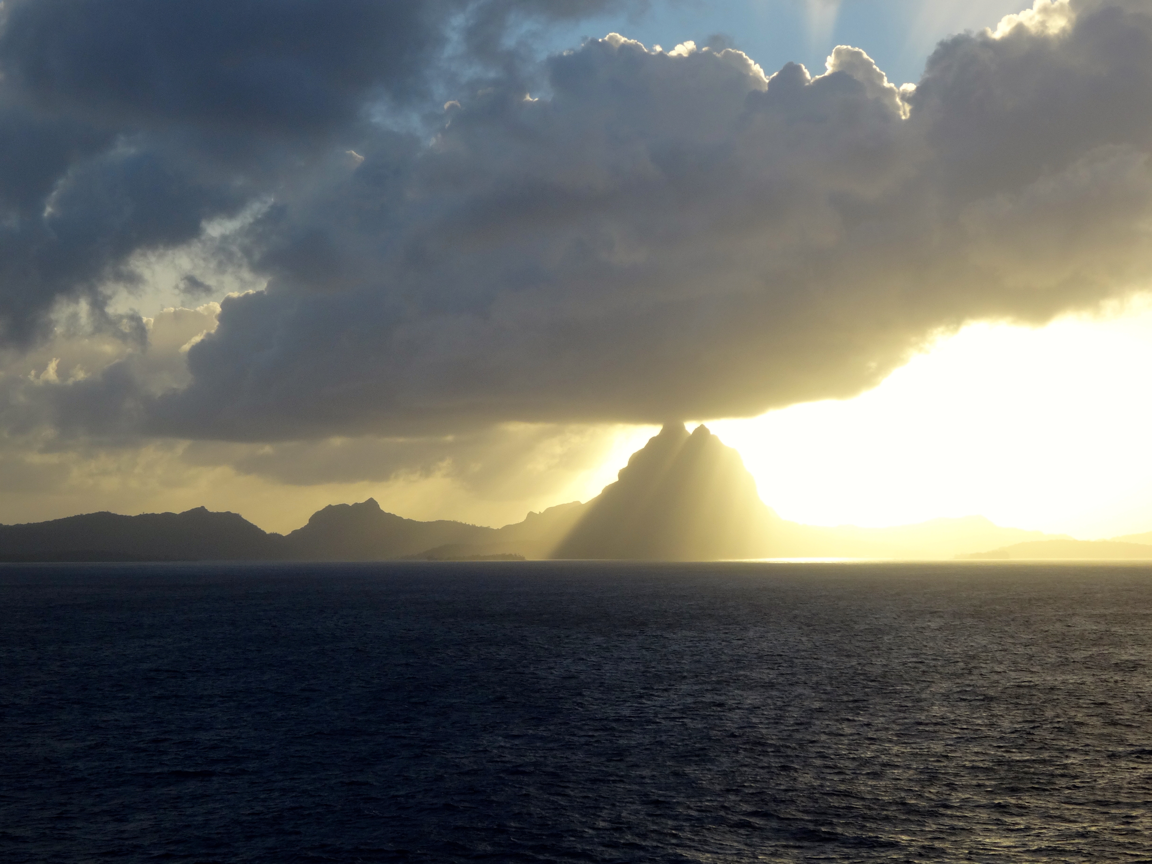
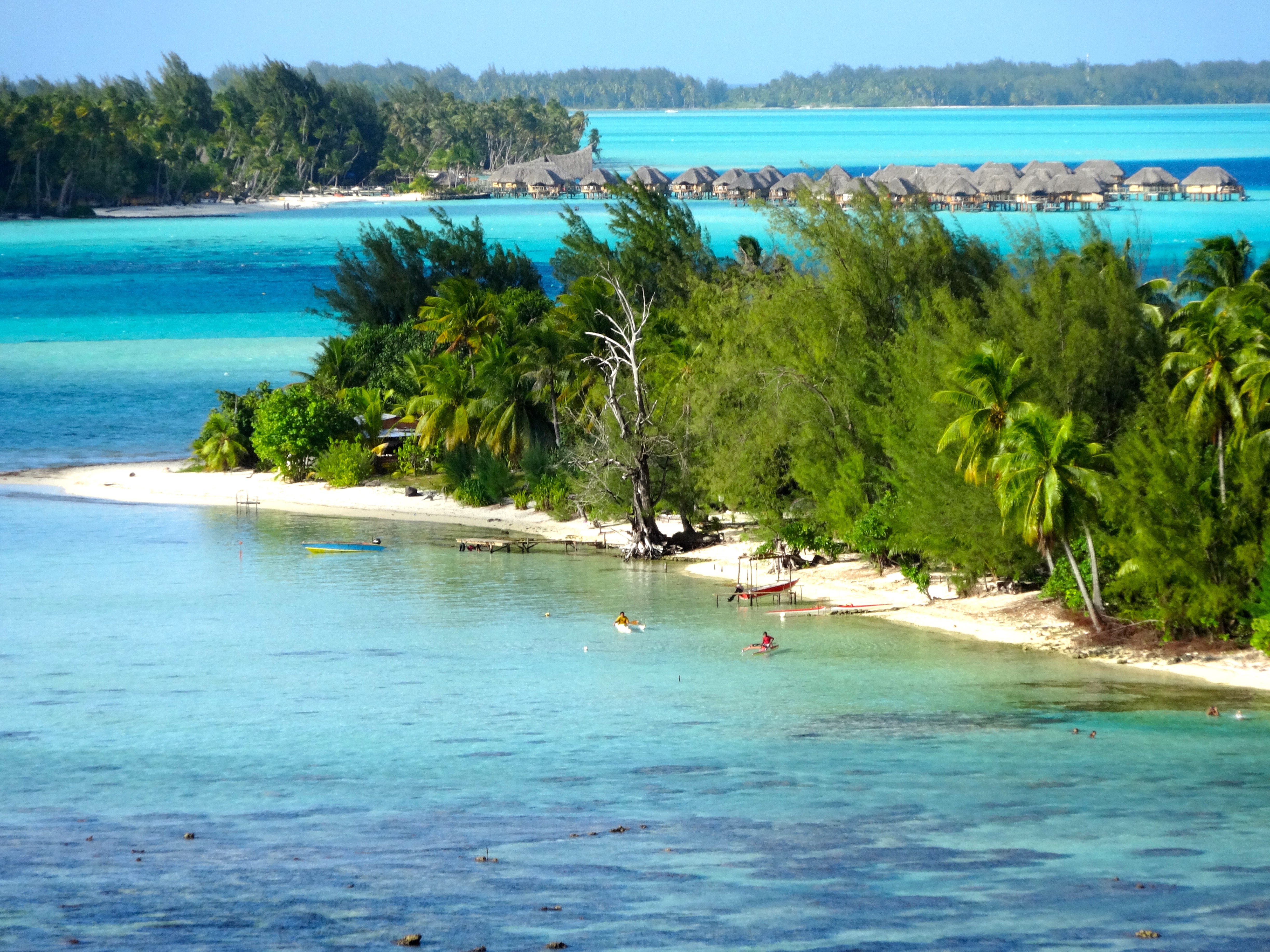
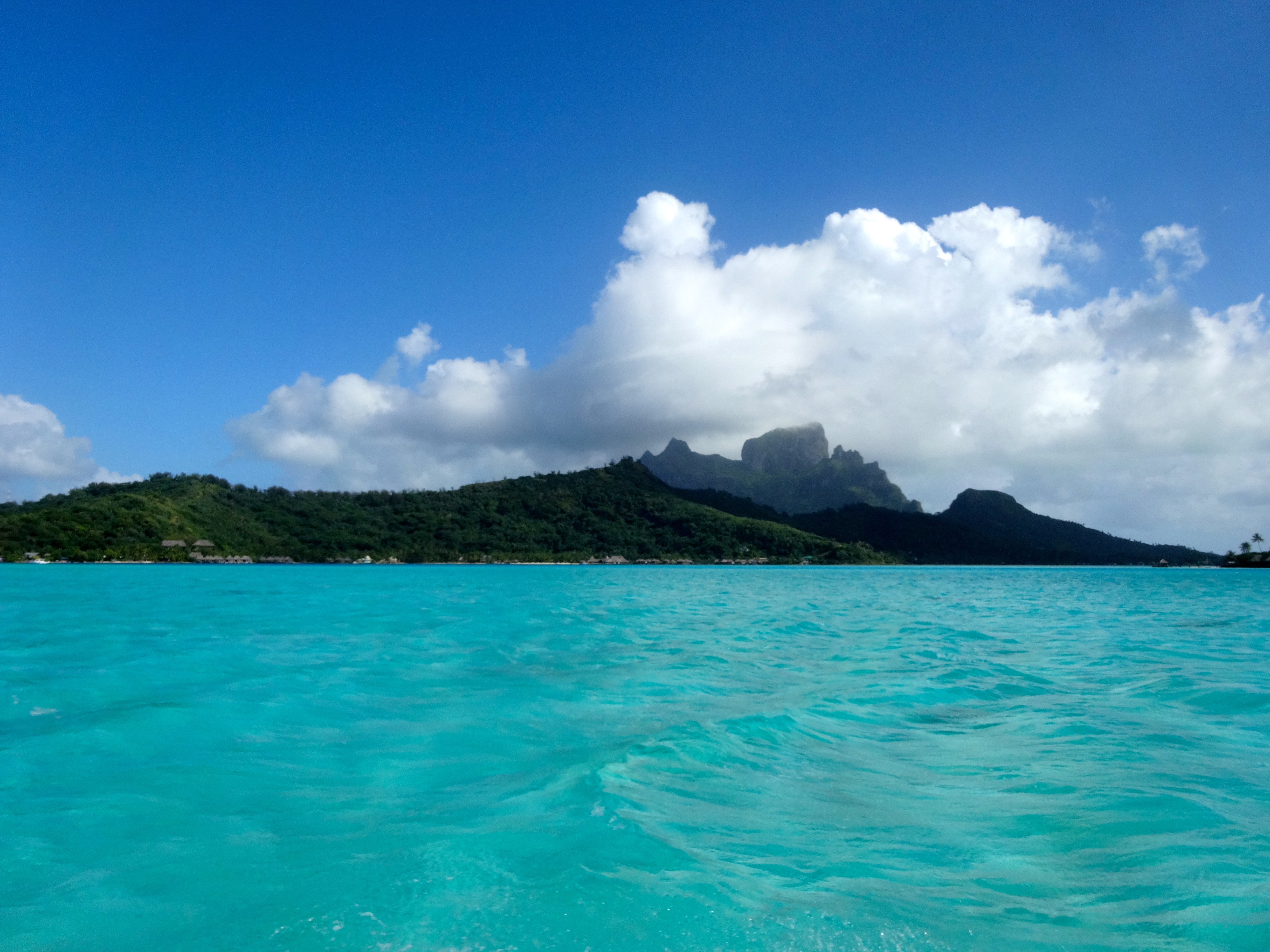
This image shows the different depths by color.Backside of the 727 meter mountain formation which has been photographed by many. This is the less common view.Snorkel site with many sharksBora Bora at sunrise.Four Seasons Resort in background and locals enjoying the water in foregroundWater depth 1 meter.
This place is unmistakable due to its unique mountains and typography. The waters where the lightest in color are at a depth of 1 meter. The slightly darker hue is about 3 meters. It is possible to walk for hundreds of yards at the 1 meter depth. While snorkeling is is quite common to spot black tip and reef sharks along with the other thousand of so varieties of wildlife. At first you are taken aback when you spot the sharks and realize that you are in their habitant and they are only 5 meters from you. Unless they are feeding, they remain incredibly graceful. Awesome experience.
As you can see from the colors it is easy to believe for a moment that you are on hallucinagens. Amazing palette of colors. Water temps are ranging from 78 to 84 degrees F.
Today I find myself in this truly beautiful place. However, there is something for someone traveling here to be aware. I’ll begin with a brief public service message. Chikungunya is a virus carried by mosquitoes and transmitted to humans through a bite. It’s symptoms can be severe and may last longer than anyone wants. Although deaths from the virus are rare, they are not unheard of. The symptoms may include rash, fever, headache, severe joint pain and swelling, and muscle pain. There is no vaccine so the only way to avoid it is not to be bitten in the first place. These islands are not the only place one may find the virus, so before you travel to warm tropical places check with the CDC at cdc.gov/chikungunya/. Enough about that. Just suffice to say I have my share of repellant and wrist bands to wear while visiting these beautiful islands.
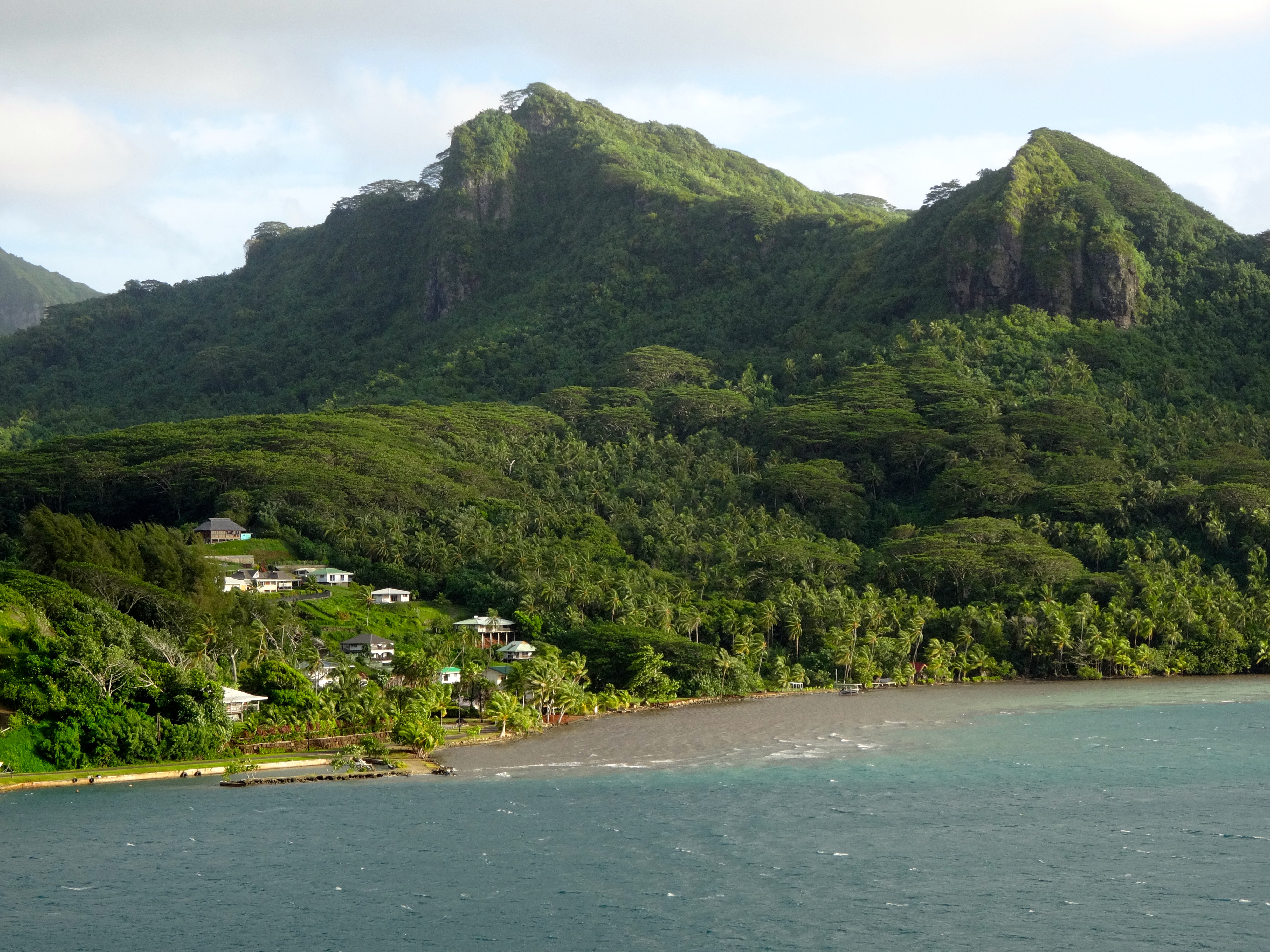
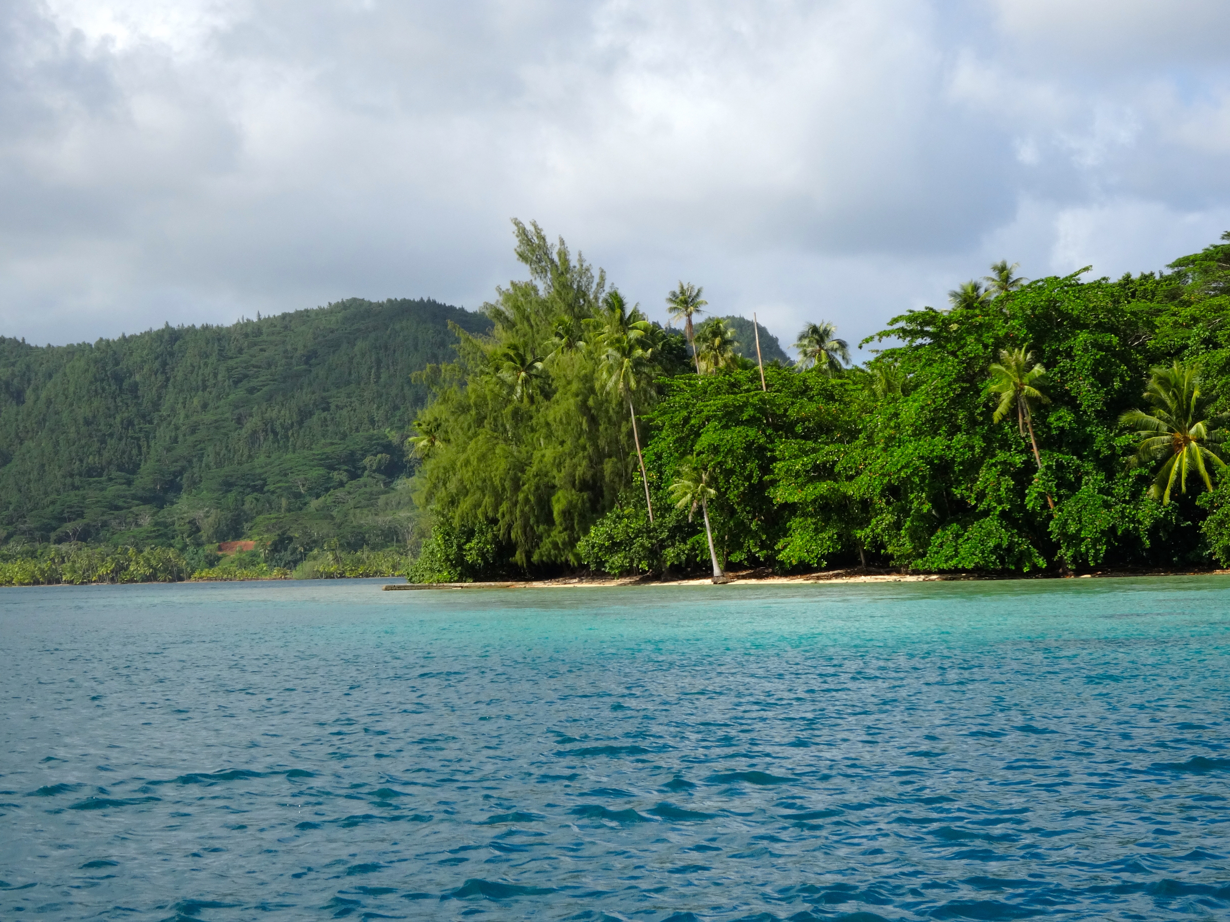
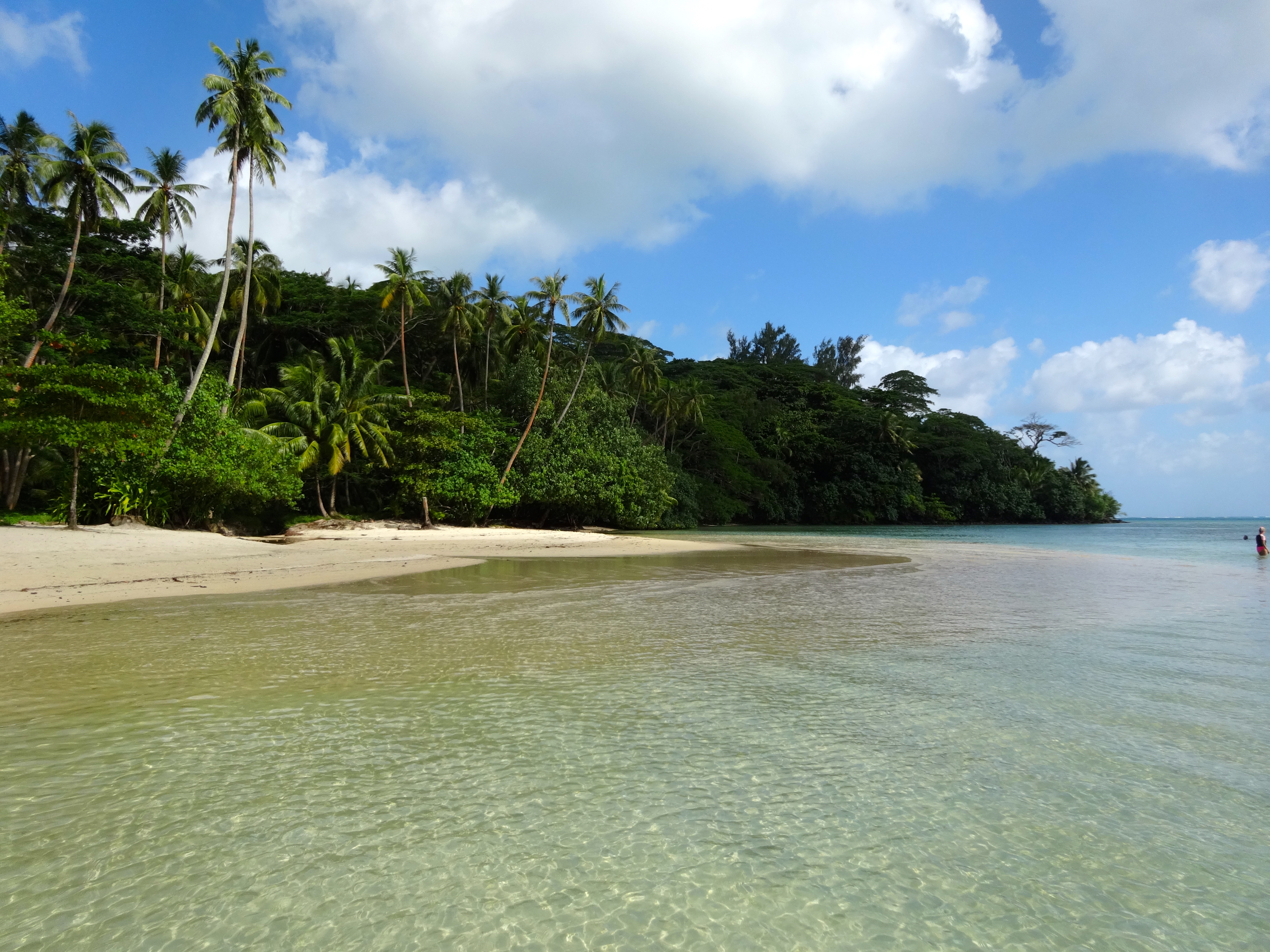
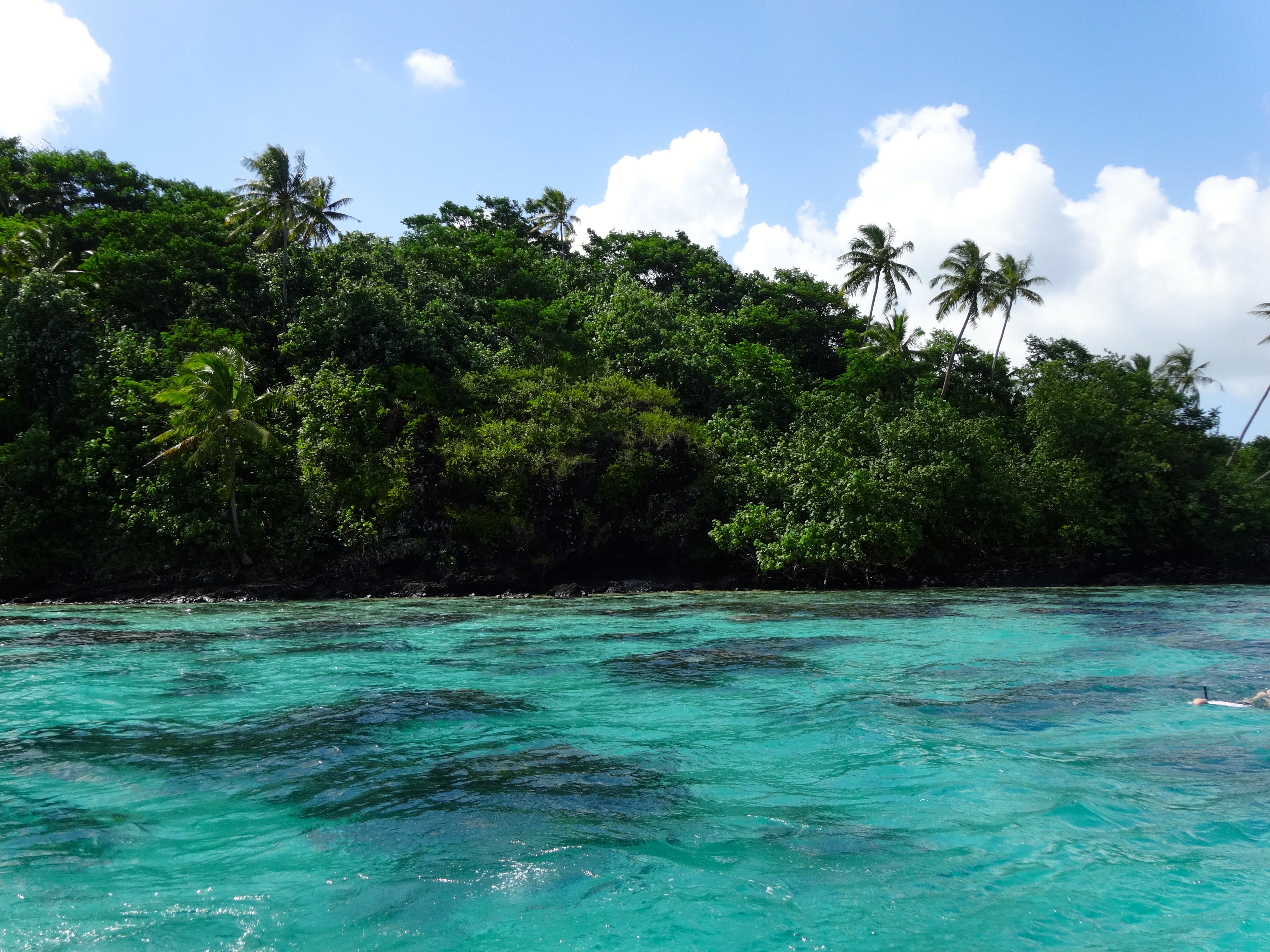
Huahine is a tiny island with only 6,000 inhabitants. As you can see from the attached pictures, the water is awesome. Lots and lots of underwater life. When I find myself in these tropical waters, which are so very abundant with life, it makes me want to live in their beautiful underwater
Huahine (Private Residences)Huahine
Huahine beach sceneSnorkel site on Huahine
world. I snorkel every opportunity I get while I’m here.
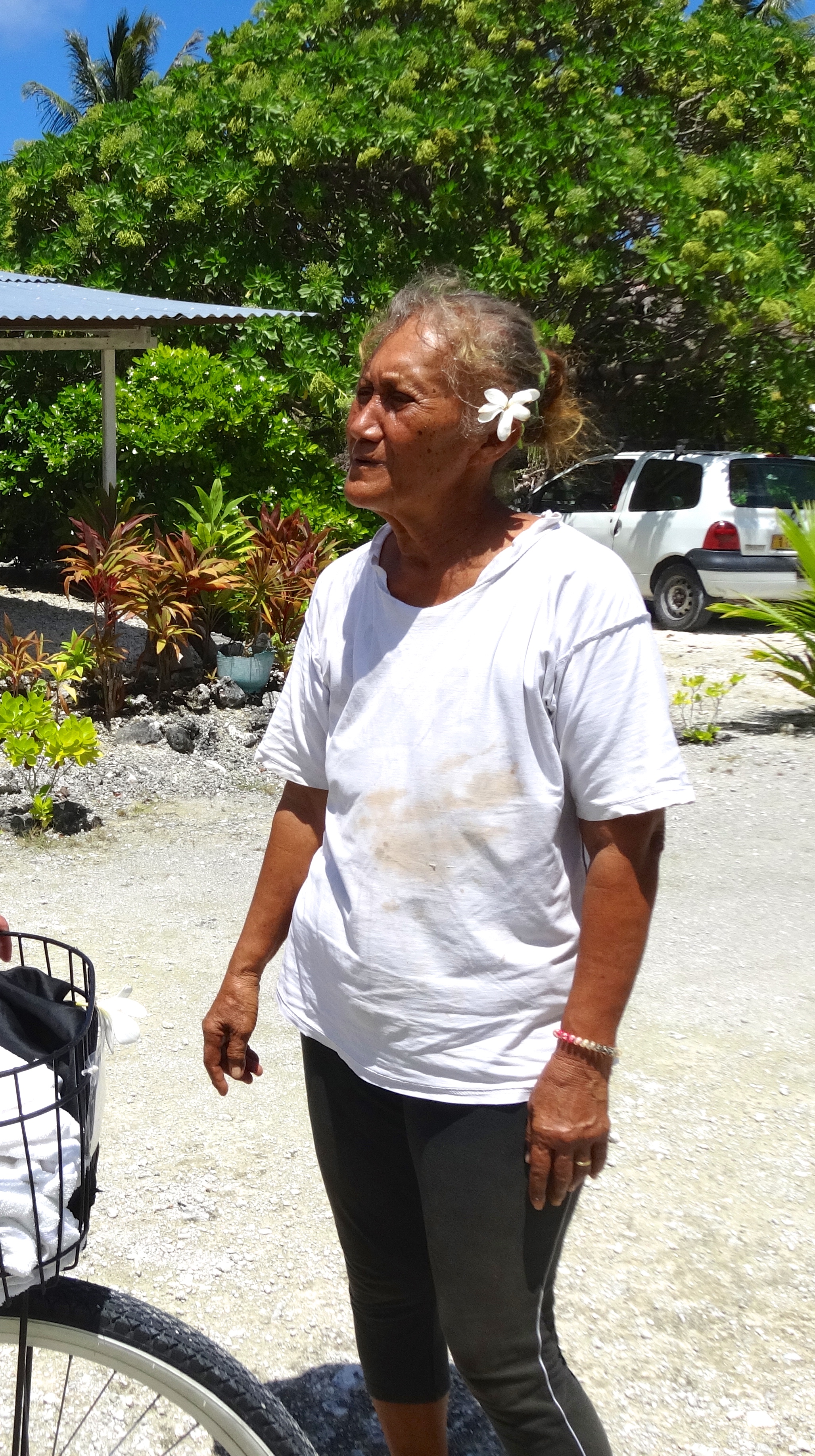
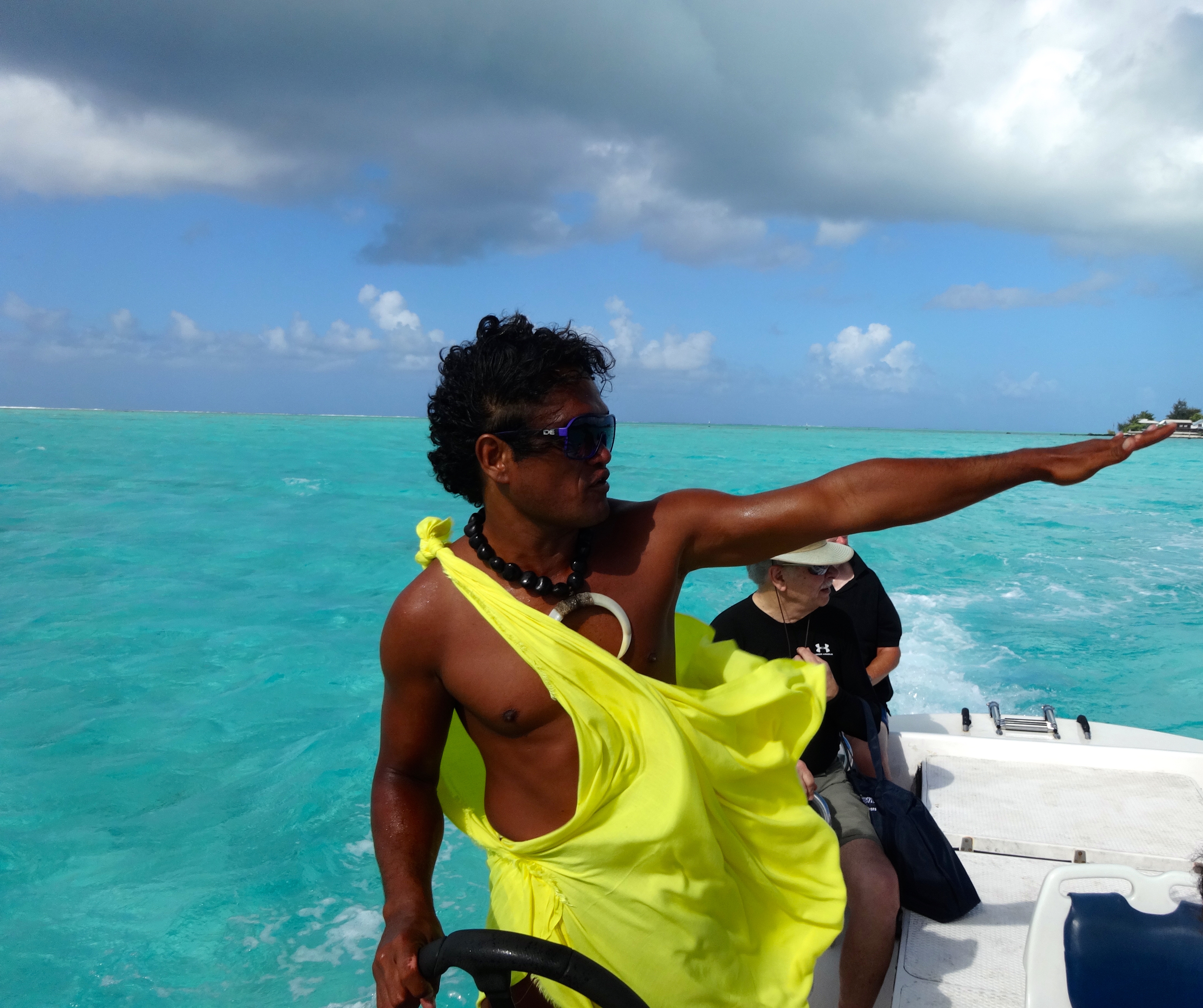
The people who live here are fluent in four languages (Tahitian, French, English and Spanish). Life is very simple for them and poverty, while it exists is extremely rare.